2906 Business Highway 13 Murphysboro, IL 62966
Estimated Value: $146,000 - $156,946
3
Beds
--
Bath
1,602
Sq Ft
$94/Sq Ft
Est. Value
About This Home
This home is located at 2906 Business Highway 13, Murphysboro, IL 62966 and is currently estimated at $149,987, approximately $93 per square foot. 2906 Business Highway 13 is a home located in Jackson County with nearby schools including Murphysboro High School, Murphysboro Christian Academy, and Montessori School of S. Illinois.
Ownership History
Date
Name
Owned For
Owner Type
Purchase Details
Closed on
Aug 26, 2013
Sold by
Mileur Marcie L
Bought by
Sullivan Paul S and Sullivan Jessica L
Current Estimated Value
Home Financials for this Owner
Home Financials are based on the most recent Mortgage that was taken out on this home.
Original Mortgage
$44,400
Outstanding Balance
$11,436
Interest Rate
4.53%
Mortgage Type
New Conventional
Estimated Equity
$138,551
Create a Home Valuation Report for This Property
The Home Valuation Report is an in-depth analysis detailing your home's value as well as a comparison with similar homes in the area
Home Values in the Area
Average Home Value in this Area
Purchase History
| Date | Buyer | Sale Price | Title Company |
|---|---|---|---|
| Sullivan Paul S | $83,250 | None Available |
Source: Public Records
Mortgage History
| Date | Status | Borrower | Loan Amount |
|---|---|---|---|
| Open | Sullivan Paul S | $44,400 |
Source: Public Records
Tax History Compared to Growth
Tax History
| Year | Tax Paid | Tax Assessment Tax Assessment Total Assessment is a certain percentage of the fair market value that is determined by local assessors to be the total taxable value of land and additions on the property. | Land | Improvement |
|---|---|---|---|---|
| 2024 | $2,746 | $41,814 | $4,182 | $37,632 |
| 2023 | $2,634 | $38,799 | $3,880 | $34,919 |
| 2022 | $2,367 | $34,876 | $3,488 | $31,388 |
| 2021 | $2,277 | $33,254 | $3,326 | $29,928 |
| 2020 | $2,311 | $33,092 | $3,310 | $29,782 |
| 2019 | $2,163 | $33,159 | $3,316 | $29,843 |
| 2018 | $1,944 | $31,538 | $3,316 | $28,222 |
| 2017 | $1,976 | $31,538 | $3,316 | $28,222 |
| 2016 | $1,950 | $31,538 | $3,316 | $28,222 |
| 2015 | -- | $31,538 | $3,316 | $28,222 |
| 2014 | -- | $31,542 | $3,316 | $28,226 |
| 2012 | -- | $31,542 | $3,316 | $28,226 |
Source: Public Records
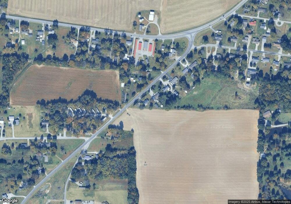
Map
Nearby Homes
- 817 W Harrison Rd
- 2347 Business Highway 13
- 1233 W Harrison Rd
- 181 Hanover Ln
- 1924 N 7th St
- 207 Bob A Rosa Ave
- 1206 N 14th St
- 267 Brian Ave
- 541 Dallas Rd
- 923 N 9th St
- 1318 Olive St
- 2119 Rains St
- 2130 Rains St
- 2202 Illinois Ave Unit 3 & 4
- 2202 Illinois Ave Unit 1 & 2
- 1502 Gartside St
- 1520 Gartside St
- 603 N 8th St
- 604 N 9th St
- 1933 Gartside St
- 2928 Business Highway 13
- 2941 Business Highway 13
- 2952 Business Highway 13
- 2959 Business Highway 13
- 2978 Business Highway 13
- 118 Dars Rd
- 1 Dars Ln Unit 1-18
- 2802 Business Highway 13
- 3004 Business Highway 13
- 6 Calcutta Rd
- 3021 Business Highway 13
- 3028 Business Highway 13
- 128 Ava Rd
- 15 Calcutta Rd
- 148 Ava Rd
- 2787 Business Highway 13
- 8 Bermuda Rd
- 174 Ava Rd
- 340 Melody Ln
- 410 Mcdowell Rd