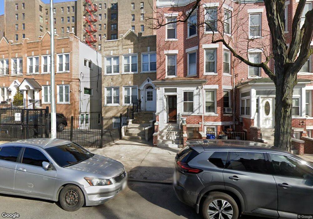
2906 Heath Ave Bronx, NY 10463
Kingsbridge Heights NeighborhoodEstimated Value: $739,000 - $1,394,000
Studio
--
Bath
4,020
Sq Ft
$254/Sq Ft
Est. Value
About This Home
This home is located at 2906 Heath Ave, Bronx, NY 10463 and is currently estimated at $1,021,137, approximately $254 per square foot. 2906 Heath Ave is a home located in Bronx County with nearby schools including P.S. 310 Marble Hill, New School For Leadership And Journalism, and Amber Charter School Kingsbridge.
Ownership History
Date
Name
Owned For
Owner Type
Purchase Details
Closed on
Feb 10, 2016
Sold by
Nelai Antony and Nelai Virginia
Bought by
Nelai Virginia
Current Estimated Value
Purchase Details
Closed on
Oct 1, 2001
Sold by
Nelai Evdokia
Bought by
Nelai Virginia and Nelai Antony
Purchase Details
Closed on
Oct 6, 1995
Sold by
Maravegias Gerasimos J and Maravegias Alexandra
Bought by
Nelai Evdokia
Create a Home Valuation Report for This Property
The Home Valuation Report is an in-depth analysis detailing your home's value as well as a comparison with similar homes in the area
Home Values in the Area
Average Home Value in this Area
Purchase History
| Date | Buyer | Sale Price | Title Company |
|---|---|---|---|
| Nelai Virginia | -- | -- | |
| Nelai Virginia | -- | -- | |
| Nelai Evdokia | $190,000 | American Title Insurance Co |
Source: Public Records
Tax History
| Year | Tax Paid | Tax Assessment Tax Assessment Total Assessment is a certain percentage of the fair market value that is determined by local assessors to be the total taxable value of land and additions on the property. | Land | Improvement |
|---|---|---|---|---|
| 2025 | $7,902 | $39,662 | $6,073 | $33,589 |
| 2024 | $7,902 | $39,341 | $6,208 | $33,133 |
| 2023 | $7,538 | $37,118 | $5,063 | $32,055 |
| 2022 | $6,995 | $74,100 | $9,600 | $64,500 |
| 2021 | $6,960 | $62,640 | $9,600 | $53,040 |
| 2020 | $6,996 | $54,180 | $9,600 | $44,580 |
| 2019 | $6,858 | $47,400 | $9,600 | $37,800 |
| 2018 | $6,305 | $30,932 | $5,350 | $25,582 |
| 2017 | $5,952 | $29,199 | $7,143 | $22,056 |
| 2016 | $5,509 | $27,558 | $7,818 | $19,740 |
| 2015 | $3,322 | $27,543 | $8,764 | $18,779 |
| 2014 | $3,322 | $27,320 | $8,693 | $18,627 |
Source: Public Records
Map
Nearby Homes
- 2896 Heath Ave
- 2860 Bailey Ave Unit 5D
- 2916 Heath Ave
- 2890 Bailey Ave
- 2759 Kingsbridge Terrace
- 3041 Sedgwick Ave
- 3043 Bailey Ave
- 2835 Webb Ave Unit 7E
- 2835 Webb Ave Unit 5B
- 2835 Webb Ave Unit 9E
- 2835 Webb Ave Unit 6C
- 2730 Kingsbridge Terrace
- 3083 Heath Ave
- 123 W 197th St
- 191A W Kingsbridge Rd Unit 3
- 3099 Heath Ave Unit 2A
- 3119 Bailey Ave Unit 4F
- 3123 Bailey Ave Unit 3A
- 133 W 195th St
- Fordham 2 Fordham Hill Unit 5 G
- 2902 Heath Ave
- 2900 Heath Ave
- 2898 Heath Ave
- 2908 Heath Ave
- 2910 Heath Ave
- 2894 Heath Ave
- 2912 Heath Ave
- 2892 Heath Ave
- 2899 Kingsbridge Terrace
- 2914 Heath Ave
- 2890 Heath Ave
- 2905-2907 Kingsbridge Terrace
- 2888 Heath Ave
- 2905 Heath Ave
- 2893 Heath Ave
- 2891 Heath Ave
- 2907 Heath Ave
- 2889 Heath Ave
- 2886 Heath Ave
- 2909 Heath Ave
Your Personal Tour Guide
Ask me questions while you tour the home.