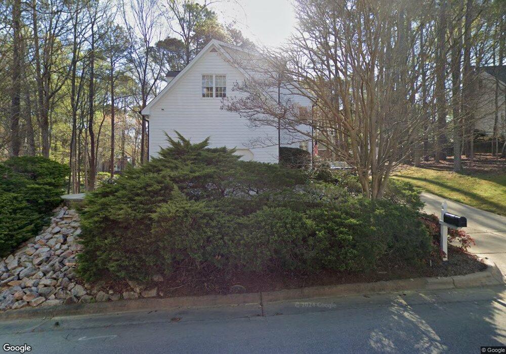
2909 Dunkirk Dr Raleigh, NC 27613
Stonehenge NeighborhoodEstimated Value: $660,284 - $746,000
3
Beds
3
Baths
2,620
Sq Ft
$267/Sq Ft
Est. Value
About This Home
This home is located at 2909 Dunkirk Dr, Raleigh, NC 27613 and is currently estimated at $700,821, approximately $267 per square foot. 2909 Dunkirk Dr is a home located in Wake County with nearby schools including Jeffreys Grove Elementary School, Carroll Middle, and Sanderson High School.
Ownership History
Date
Name
Owned For
Owner Type
Purchase Details
Closed on
Sep 28, 2005
Sold by
Dock Daniel A and Dock Dawn M
Bought by
Haislip Zesely Bryan and Haislip Melody W
Current Estimated Value
Home Financials for this Owner
Home Financials are based on the most recent Mortgage that was taken out on this home.
Original Mortgage
$32,300
Interest Rate
5.37%
Mortgage Type
Fannie Mae Freddie Mac
Create a Home Valuation Report for This Property
The Home Valuation Report is an in-depth analysis detailing your home's value as well as a comparison with similar homes in the area
Home Values in the Area
Average Home Value in this Area
Purchase History
| Date | Buyer | Sale Price | Title Company |
|---|---|---|---|
| Haislip Zesely Bryan | $324,000 | None Available |
Source: Public Records
Mortgage History
| Date | Status | Borrower | Loan Amount |
|---|---|---|---|
| Closed | Haislip Zesely Bryan | $32,300 | |
| Open | Haislip Zesely Bryan | $259,100 |
Source: Public Records
Tax History Compared to Growth
Tax History
| Year | Tax Paid | Tax Assessment Tax Assessment Total Assessment is a certain percentage of the fair market value that is determined by local assessors to be the total taxable value of land and additions on the property. | Land | Improvement |
|---|---|---|---|---|
| 2025 | $5,310 | $606,588 | $180,000 | $426,588 |
| 2024 | $5,288 | $606,588 | $180,000 | $426,588 |
| 2023 | $4,597 | $419,936 | $120,000 | $299,936 |
| 2022 | $4,272 | $419,936 | $120,000 | $299,936 |
| 2021 | $4,106 | $419,936 | $120,000 | $299,936 |
| 2020 | $4,031 | $419,936 | $120,000 | $299,936 |
| 2019 | $4,308 | $369,978 | $100,000 | $269,978 |
| 2018 | $4,062 | $369,978 | $100,000 | $269,978 |
| 2017 | $3,869 | $369,978 | $100,000 | $269,978 |
| 2016 | $3,789 | $369,978 | $100,000 | $269,978 |
| 2015 | $3,847 | $369,603 | $124,000 | $245,603 |
| 2014 | $3,649 | $369,603 | $124,000 | $245,603 |
Source: Public Records
Map
Nearby Homes
- 8100 Laurel Mountain Rd
- 7628 Valview St
- 7601 Valview St
- 7740 Wilderness Rd
- 7741 Wilderness Rd
- 2704 Smokey Ridge Rd
- 8605 Brookdale Dr
- 8404 Sleepy Creek Dr
- 8604 Wellsley Way
- 7401 Ray Rd
- 2610 Sawmill Rd
- 8326 Ray Rd
- 2609 Cobworth Ct
- 8920 Taymouth Ct
- 3008 Eden Harbor Ct
- 4104 Betterton Dr
- 3812 Covina Dr
- 7771 Falcon Rest Cir Unit 7771
- 2428 Havershire Dr
- 4103 Landfall Ct
- 8104 Laurel Mountain Rd
- 2905 Dunkirk Dr
- 3001 Dunkirk Dr
- 8105 Laurel Mountain Rd
- 3005 Dunkirk Dr
- 2904 Dunkirk Dr
- 2908 Dunkirk Dr
- 2901 Dunkirk Dr
- 3000 Dunkirk Dr
- 7800 Ray Rd
- 8101 Calais Ct
- 8101 Laurel Mountain Rd
- 3004 Dunkirk Dr
- 3009 Dunkirk Dr
- 2829 Dunkirk Dr
- 3013 Dunkirk Dr
- 2905 Legare Ct
- 2909 Legare Ct
- 8102 Dreamy Way
- 8100 Calais Ct