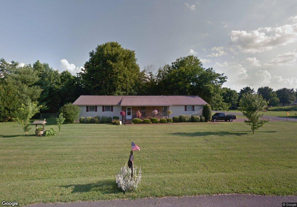
291 Amherst Dr Murfreesboro, TN 37128
Estimated Value: $326,000 - $359,000
--
Bed
2
Baths
1,768
Sq Ft
$195/Sq Ft
Est. Value
About This Home
This home is located at 291 Amherst Dr, Murfreesboro, TN 37128 and is currently estimated at $345,491, approximately $195 per square foot. 291 Amherst Dr is a home located in Rutherford County with nearby schools including Barfield Elementary School, Christiana Middle School, and Rockvale High School.
Ownership History
Date
Name
Owned For
Owner Type
Purchase Details
Closed on
Oct 14, 2005
Sold by
Kokemueller Peter H
Bought by
Cline and Jean
Current Estimated Value
Home Financials for this Owner
Home Financials are based on the most recent Mortgage that was taken out on this home.
Original Mortgage
$72,675
Outstanding Balance
$506
Interest Rate
5.71%
Estimated Equity
$344,985
Create a Home Valuation Report for This Property
The Home Valuation Report is an in-depth analysis detailing your home's value as well as a comparison with similar homes in the area
Home Values in the Area
Average Home Value in this Area
Purchase History
| Date | Buyer | Sale Price | Title Company |
|---|---|---|---|
| Cline | $96,900 | -- |
Source: Public Records
Mortgage History
| Date | Status | Borrower | Loan Amount |
|---|---|---|---|
| Open | Cline | $72,675 |
Source: Public Records
Tax History Compared to Growth
Tax History
| Year | Tax Paid | Tax Assessment Tax Assessment Total Assessment is a certain percentage of the fair market value that is determined by local assessors to be the total taxable value of land and additions on the property. | Land | Improvement |
|---|---|---|---|---|
| 2025 | $1,383 | $73,700 | $13,750 | $59,950 |
| 2024 | $1,383 | $73,700 | $13,750 | $59,950 |
| 2023 | $1,383 | $73,700 | $13,750 | $59,950 |
| 2022 | $1,191 | $73,700 | $13,750 | $59,950 |
| 2021 | $1,109 | $49,950 | $9,125 | $40,825 |
| 2020 | $1,109 | $49,950 | $9,125 | $40,825 |
| 2019 | $1,109 | $49,950 | $9,125 | $40,825 |
| 2018 | $1,049 | $49,950 | $0 | $0 |
| 2017 | $1,055 | $39,350 | $0 | $0 |
| 2016 | $1,055 | $39,350 | $0 | $0 |
| 2015 | $1,055 | $39,350 | $0 | $0 |
| 2014 | $979 | $39,350 | $0 | $0 |
| 2013 | -- | $31,975 | $0 | $0 |
Source: Public Records
Map
Nearby Homes
- 321 Amherst Dr
- 3236 Prater Ct
- 3220 Prater Ct
- 3022 London View Dr
- 338 Rowlette Cir
- 220 Rowlette Cir
- 316 Rowlette Cir
- 236 Rowlette Cir
- 233 Panther Dr
- 233 Panther Dr Unit Lot 10
- 235 Panther Dr
- 235 Panther Dr Unit Lot 11
- 122 Sayre Ln
- 228 Panther Dr
- 303 Panther Dr
- Cedar Plan at Tiger Hill
- 305 Panther Dr
- 235 Whiteamore Run
- 307 Panther Dr
- 309 Panther Dr
- 3421 Sheffield Dr
- 281 Amherst Dr
- 0 Amherst Dr
- 301 Amherst Dr
- 296 Amherst Dr
- 286 Amherst Dr
- 212 Lynnford Dr
- 251 Amherst Dr
- 218 Lynnford Dr
- 306 Amherst Dr
- 3422 Sheffield Dr
- 252 Amherst Dr
- 206 Lynnford Dr
- 326 Amherst Dr
- 295 Highfield Dr
- 3432 Sheffield Dr
- 211 Amherst Dr
- 265 Highfield Dr
- 200 Lynnford Dr
- 305 Highfield Dr