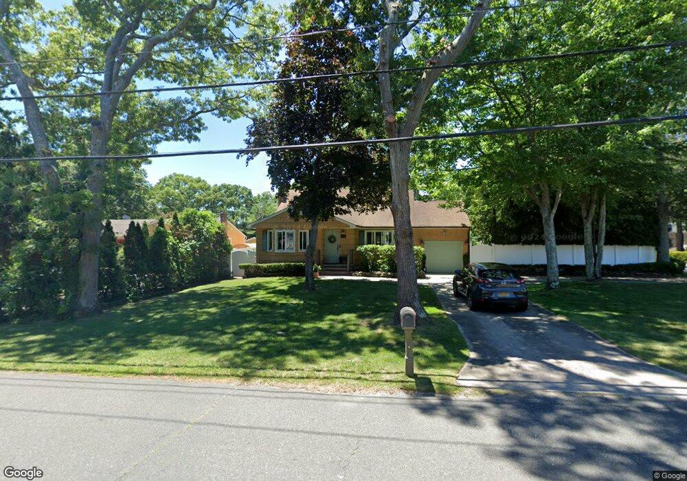
291 Auborn Ave Shirley, NY 11967
Estimated Value: $533,000 - $602,000
3
Beds
2
Baths
1,632
Sq Ft
$341/Sq Ft
Est. Value
About This Home
This home is located at 291 Auborn Ave, Shirley, NY 11967 and is currently estimated at $557,173, approximately $341 per square foot. 291 Auborn Ave is a home located in Suffolk County with nearby schools including Longwood Junior High School, Longwood Middle School, and Longwood Senior High School.
Create a Home Valuation Report for This Property
The Home Valuation Report is an in-depth analysis detailing your home's value as well as a comparison with similar homes in the area
Home Values in the Area
Average Home Value in this Area
Tax History Compared to Growth
Tax History
| Year | Tax Paid | Tax Assessment Tax Assessment Total Assessment is a certain percentage of the fair market value that is determined by local assessors to be the total taxable value of land and additions on the property. | Land | Improvement |
|---|---|---|---|---|
| 2024 | $8,786 | $2,175 | $200 | $1,975 |
| 2023 | $8,786 | $2,175 | $200 | $1,975 |
| 2022 | $7,908 | $2,175 | $200 | $1,975 |
| 2021 | $7,908 | $2,175 | $200 | $1,975 |
| 2020 | $8,113 | $2,175 | $200 | $1,975 |
| 2019 | $8,113 | $0 | $0 | $0 |
| 2018 | $7,694 | $2,175 | $200 | $1,975 |
| 2017 | $7,694 | $2,175 | $200 | $1,975 |
| 2016 | $7,602 | $2,175 | $200 | $1,975 |
| 2015 | -- | $2,175 | $200 | $1,975 |
| 2014 | -- | $2,800 | $200 | $2,600 |
Source: Public Records
Map
Nearby Homes
- 84 Ridgewood Dr
- 88 Ridgewood Dr
- 188 W End Ave
- 1276 William Floyd Pkwy
- 313 Decatur Ave
- 173 W End Ave
- 336 Auborn Ave
- 283 W End Ave
- 114 W End Ave
- 1330 William Floyd Pkwy
- 334 Carnation Dr
- 34 Belmont Dr
- 88 W End Ave
- 68 Crestwood Dr
- 153 Auborn Ave
- 139 Forrest Ave
- 380 Wellwood Dr
- 101 Crestwood Dr
- VL Glen Dr
- 135 Forrest Ave