291 B and B Loop Raeford, NC 28376
Estimated Value: $273,000 - $343,956
Studio
3
Baths
2,452
Sq Ft
$123/Sq Ft
Est. Value
About This Home
This home is located at 291 B and B Loop, Raeford, NC 28376 and is currently estimated at $301,239, approximately $122 per square foot. 291 B and B Loop is a home located in Hoke County with nearby schools including Scurlock Elementary School, East Hoke Middle, and Hoke County High.
Ownership History
Date
Name
Owned For
Owner Type
Purchase Details
Closed on
Apr 22, 2021
Sold by
Morris Judith Ann
Bought by
J & K General Contractor Inc
Current Estimated Value
Create a Home Valuation Report for This Property
The Home Valuation Report is an in-depth analysis detailing your home's value as well as a comparison with similar homes in the area
Home Values in the Area
Average Home Value in this Area
Purchase History
| Date | Buyer | Sale Price | Title Company |
|---|---|---|---|
| J & K General Contractor Inc | $210,000 | None Available | |
| J & K General Contractor Inc | $210,000 | None Listed On Document |
Source: Public Records
Tax History
| Year | Tax Paid | Tax Assessment Tax Assessment Total Assessment is a certain percentage of the fair market value that is determined by local assessors to be the total taxable value of land and additions on the property. | Land | Improvement |
|---|---|---|---|---|
| 2025 | $1,408 | $157,790 | $29,330 | $128,460 |
| 2024 | $1,408 | $157,790 | $29,330 | $128,460 |
| 2023 | $1,408 | $157,790 | $29,330 | $128,460 |
| 2022 | $1,408 | $157,790 | $29,330 | $128,460 |
| 2021 | $1,566 | $177,780 | $26,860 | $150,920 |
| 2020 | $1,604 | $177,780 | $26,860 | $150,920 |
| 2019 | $1,604 | $177,780 | $26,860 | $150,920 |
| 2018 | $1,604 | $177,780 | $26,860 | $150,920 |
| 2017 | $1,590 | $177,780 | $26,860 | $150,920 |
| 2016 | $1,567 | $177,780 | $26,860 | $150,920 |
| 2015 | $1,574 | $177,780 | $26,860 | $150,920 |
| 2014 | $1,550 | $177,780 | $26,860 | $150,920 |
| 2013 | -- | $160,010 | $21,490 | $138,520 |
Source: Public Records
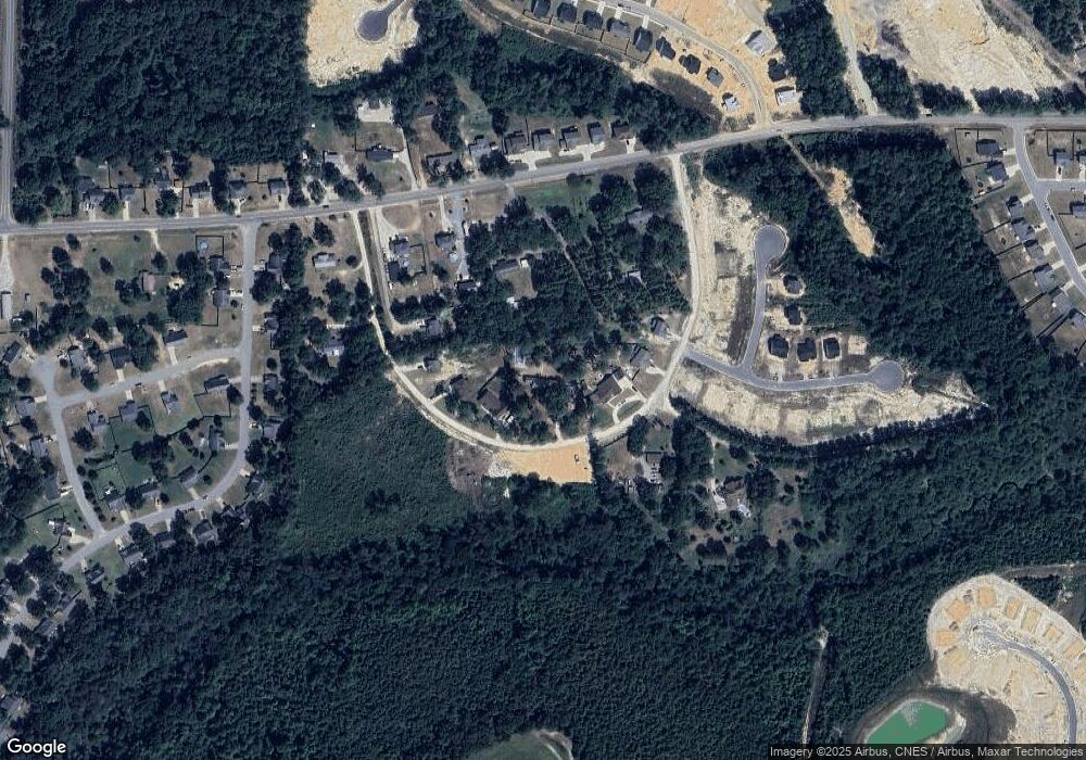
Map
Nearby Homes
- 161 Ainsdale Warren Ct
- 2911 Rockfish Rd
- 138 S View Spur Rd
- 152 S View Spur Rd
- 179 Ainsdale Warren (Lot 14) Ct
- 193 Ainsdale Warren (Lot13) Ct
- 846 Southerland Peak Dr
- 711 Southerland Peak Rd
- 839 Southerland Peak Dr
- 827 N Southerland Peak Dr N
- 739 Southerland Peak Rd
- 878 Wicklow Ln
- 120 Ledgebrook Ln
- 499 Southerland Peak Dr
- 853 Southerland Peak Dr
- 372 Dartmoor Ln
- 180 Port Rush Ln
- 388 Dartmoor Ln
- 711 Southerland Peak (Lot 43) Dr
- 739 Southerland Peak (Lot 46) Dr
- 245 B and B Loop
- 387 B and B Loop
- 245 B and B Loop
- 245 B and B Loop
- 245 B & B Loop
- 211 B and B Loop
- 211 B and B Loop
- 387 B and B Loop Rd
- 2878 Rockfish Rd
- 433 B and B Loop Unit Lot 10
- 433 B and B Loop
- 211 B & B Loop
- 277 B and B Loop
- 211 B and B Loop
- 2814 Rockfish Rd
- 366 B and B Loop
- 2848 Rockfish Rd
- 2882 Rockfish Rd
- 2824 Rockfish Rd
- 2893 Rockfish Rd
Your Personal Tour Guide
Ask me questions while you tour the home.