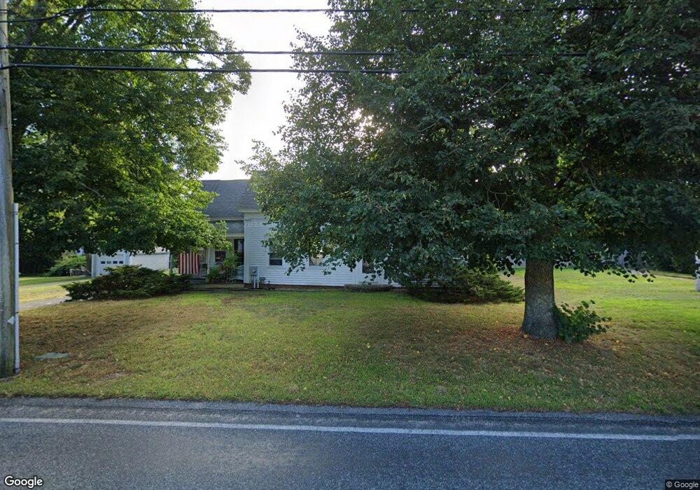
291 Depot St Dennis Port, MA 02639
Dennis Port NeighborhoodEstimated Value: $512,000 - $554,000
3
Beds
2
Baths
1,501
Sq Ft
$358/Sq Ft
Est. Value
About This Home
This home is located at 291 Depot St, Dennis Port, MA 02639 and is currently estimated at $537,520, approximately $358 per square foot. 291 Depot St is a home located in Barnstable County with nearby schools including Dennis-Yarmouth Regional High School and St. Pius X. School.
Ownership History
Date
Name
Owned For
Owner Type
Purchase Details
Closed on
Aug 22, 2003
Sold by
Oleary T and Oleary Daniel W
Bought by
Arsenault Michelle
Current Estimated Value
Home Financials for this Owner
Home Financials are based on the most recent Mortgage that was taken out on this home.
Original Mortgage
$224,000
Outstanding Balance
$97,922
Interest Rate
5.52%
Mortgage Type
Purchase Money Mortgage
Estimated Equity
$439,598
Purchase Details
Closed on
Oct 7, 1994
Sold by
Sanborn Marie J
Bought by
Oleary Daniel W and Oleary Margaret M
Home Financials for this Owner
Home Financials are based on the most recent Mortgage that was taken out on this home.
Original Mortgage
$80,500
Interest Rate
8.55%
Mortgage Type
Purchase Money Mortgage
Create a Home Valuation Report for This Property
The Home Valuation Report is an in-depth analysis detailing your home's value as well as a comparison with similar homes in the area
Home Values in the Area
Average Home Value in this Area
Purchase History
| Date | Buyer | Sale Price | Title Company |
|---|---|---|---|
| Arsenault Michelle | $280,000 | -- | |
| Oleary Daniel W | $115,000 | -- |
Source: Public Records
Mortgage History
| Date | Status | Borrower | Loan Amount |
|---|---|---|---|
| Open | Oleary Daniel W | $224,000 | |
| Closed | Oleary Daniel W | $28,000 | |
| Previous Owner | Oleary Daniel W | $80,500 |
Source: Public Records
Tax History Compared to Growth
Tax History
| Year | Tax Paid | Tax Assessment Tax Assessment Total Assessment is a certain percentage of the fair market value that is determined by local assessors to be the total taxable value of land and additions on the property. | Land | Improvement |
|---|---|---|---|---|
| 2025 | $1,764 | $407,300 | $147,000 | $260,300 |
| 2024 | $1,713 | $390,300 | $149,700 | $240,600 |
| 2023 | $1,661 | $355,600 | $136,100 | $219,500 |
| 2022 | $1,692 | $302,200 | $136,200 | $166,000 |
| 2021 | $2,148 | $281,700 | $120,200 | $161,500 |
| 2020 | $2,199 | $280,000 | $120,200 | $159,800 |
| 2019 | $1,738 | $281,700 | $117,800 | $163,900 |
| 2018 | $3,840 | $254,900 | $112,200 | $142,700 |
| 2017 | $3,901 | $259,400 | $112,200 | $147,200 |
| 2016 | $1,619 | $247,900 | $124,600 | $123,300 |
| 2015 | $1,592 | $248,700 | $124,600 | $124,100 |
| 2014 | $1,446 | $227,700 | $99,700 | $128,000 |
Source: Public Records
Map
Nearby Homes
- 9 Country Ln
- 47 Telegraph Rd Unit 1
- 12 Candlewood Ln Unit 2-9
- 10 Candlewood Ln Unit 2-1
- 11 Lane Rd
- 141 Division St
- 141 Division St
- 78 Upper County Rd Unit A&B
- 78 Upper County Rd
- 24 Indian Trail
- 91 Depot Rd W
- 45 Route 28
- 73 Division St
- 268 Main St
- 9 Bells Neck Rd Unit 10
- 40 Willow St
- 12 Cross St
- 104 Toms Path
- 104 Toms Path
- 79 Massachusetts 28