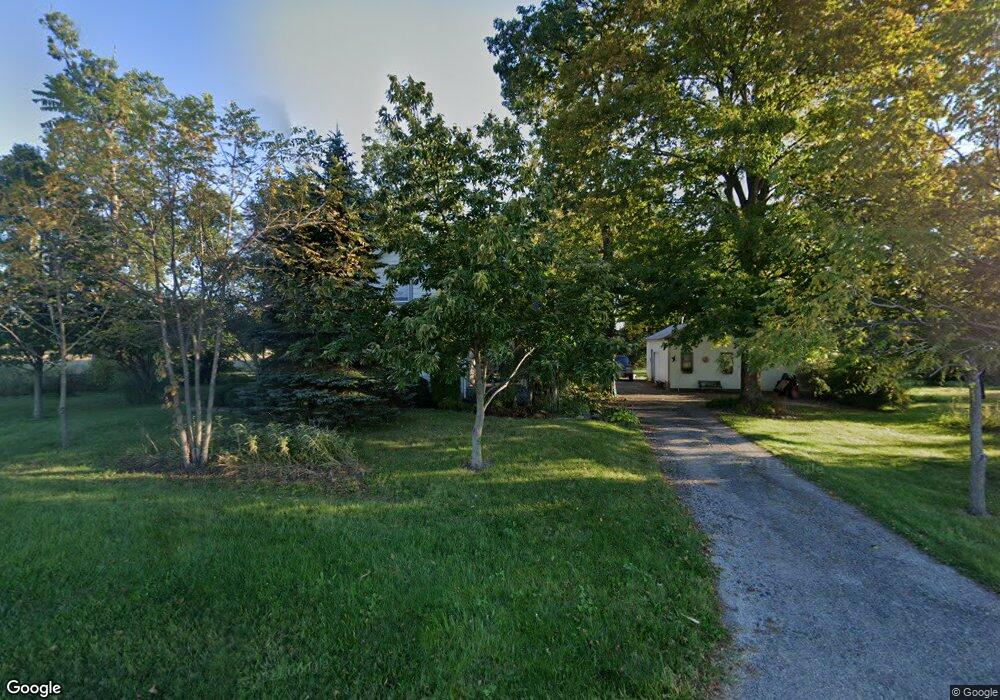
291 E Possum Rd Springfield, OH 45502
Estimated Value: $226,147 - $314,000
4
Beds
1
Bath
1,807
Sq Ft
$150/Sq Ft
Est. Value
About This Home
This home is located at 291 E Possum Rd, Springfield, OH 45502 and is currently estimated at $271,287, approximately $150 per square foot. 291 E Possum Rd is a home located in Clark County with nearby schools including Possum Elementary School, Shawnee Middle School/High School, and Risen Christ Lutheran School.
Ownership History
Date
Name
Owned For
Owner Type
Purchase Details
Closed on
Feb 1, 1999
Sold by
Jones Martin Ralph and Jones Marcia Ann
Bought by
Arnold Eileen M
Current Estimated Value
Home Financials for this Owner
Home Financials are based on the most recent Mortgage that was taken out on this home.
Original Mortgage
$118,800
Interest Rate
6.81%
Purchase Details
Closed on
Sep 1, 1983
Create a Home Valuation Report for This Property
The Home Valuation Report is an in-depth analysis detailing your home's value as well as a comparison with similar homes in the area
Purchase History
| Date | Buyer | Sale Price | Title Company |
|---|---|---|---|
| Arnold Eileen M | $132,000 | -- | |
| -- | $58,000 | -- |
Source: Public Records
Mortgage History
| Date | Status | Borrower | Loan Amount |
|---|---|---|---|
| Closed | Arnold Eileen M | $118,800 |
Source: Public Records
Tax History
| Year | Tax Paid | Tax Assessment Tax Assessment Total Assessment is a certain percentage of the fair market value that is determined by local assessors to be the total taxable value of land and additions on the property. | Land | Improvement |
|---|---|---|---|---|
| 2025 | $1,896 | $65,890 | $17,110 | $48,780 |
| 2024 | $1,878 | $47,620 | $12,390 | $35,230 |
| 2023 | $1,878 | $47,620 | $12,390 | $35,230 |
| 2022 | $1,883 | $47,620 | $12,390 | $35,230 |
| 2021 | $1,539 | $37,200 | $9,600 | $27,600 |
| 2020 | $1,552 | $37,200 | $9,600 | $27,600 |
| 2019 | $1,577 | $37,200 | $9,600 | $27,600 |
| 2018 | $1,298 | $31,850 | $8,730 | $23,120 |
| 2017 | $1,330 | $31,850 | $8,729 | $23,121 |
| 2016 | $1,200 | $31,850 | $8,729 | $23,121 |
| 2015 | $1,196 | $31,021 | $8,729 | $22,292 |
| 2014 | $1,200 | $31,021 | $8,729 | $22,292 |
| 2013 | $1,042 | $31,021 | $8,729 | $22,292 |
Source: Public Records
Map
Nearby Homes
- 2801 S Springfield Jamestown St
- 533 Highview Ave
- 505 Highview Ave
- 402 Highview Ave
- 703 Dorchester Dr
- 201 Kinnane Ave
- 711 Kinnane Ave
- 414 W Sparrow Rd
- 2252 Ontario Ave
- 2642 Springfield Xenia Rd
- 2390 Old Selma Rd
- 1448 W Sparrow Rd
- 204 Bassett Dr
- 1846 Ohio Ave
- 1823 Clay St
- 1820 Clay St
- 1754 S Fountain Ave
- 1724 Clay St
- 1730 Damascus Ave
- 518 Hazelbrook Ave
- 161 E Possum Rd
- 0 E Possum Rd
- 3650 Springfield Xenia Rd
- 3551 Springfield Jamestown Rd
- 3551 S Limestone St
- 3085 Springfield Jamestown Rd
- 3085 S Limestone St
- 3081 S Limestone St
- 3081 Springfield Jamestown Rd
- 3643 Springfield Jamestown Rd
- 3071 S Limestone St
- 3051 S Limestone St
- 3603 Springfield Jamestown Rd
- 3061 Springfield Jamestown Rd
- 3671 Springfield Jamestown Rd
- 3041 S Limestone St
- 3041 Springfield Jamestown Rd
- 3111 S Limestone St
- 3111 S Limestone St
- 3111 Springfield Jamestown Rd
Your Personal Tour Guide
Ask me questions while you tour the home.