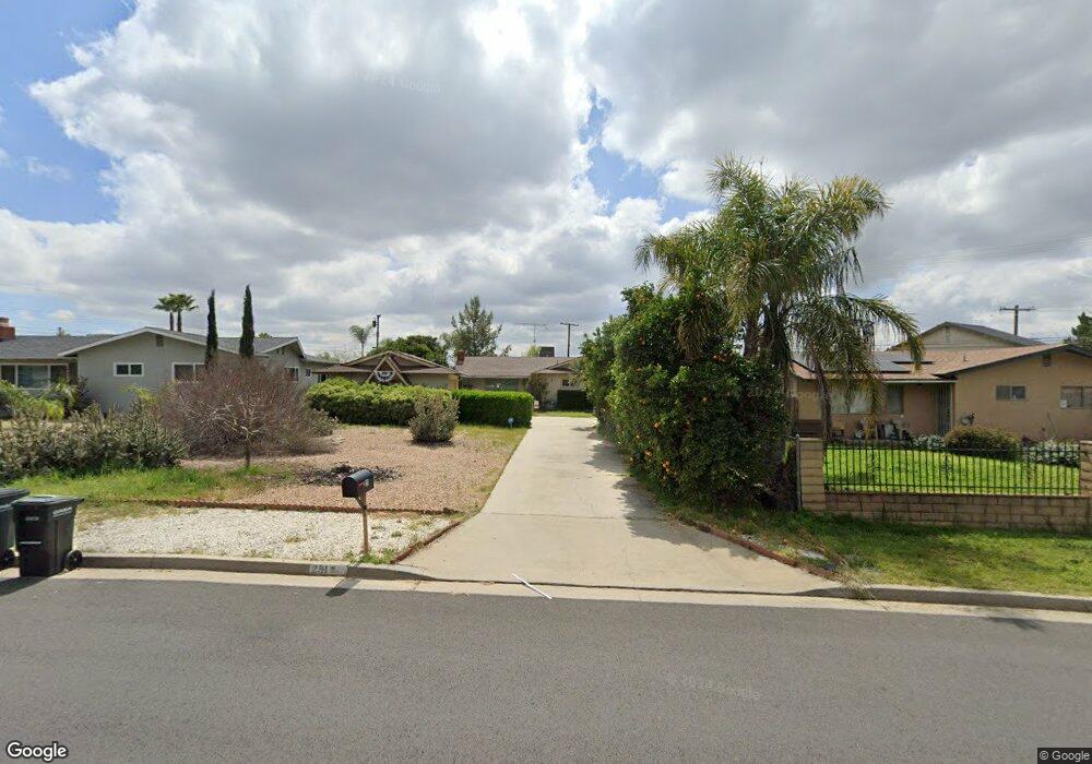
291 Harruby Dr Calimesa, CA 92320
Estimated Value: $425,000 - $464,000
2
Beds
2
Baths
1,202
Sq Ft
$373/Sq Ft
Est. Value
About This Home
This home is located at 291 Harruby Dr, Calimesa, CA 92320 and is currently estimated at $448,309, approximately $372 per square foot. 291 Harruby Dr is a home located in Riverside County with nearby schools including Calimesa Elementary, Mesa View Middle School, and Yucaipa High School.
Ownership History
Date
Name
Owned For
Owner Type
Purchase Details
Closed on
Apr 27, 1998
Sold by
Davis Mayme M and Davis Ronda Joanne
Bought by
Quimaysousi David
Current Estimated Value
Home Financials for this Owner
Home Financials are based on the most recent Mortgage that was taken out on this home.
Original Mortgage
$96,950
Interest Rate
7.1%
Create a Home Valuation Report for This Property
The Home Valuation Report is an in-depth analysis detailing your home's value as well as a comparison with similar homes in the area
Home Values in the Area
Average Home Value in this Area
Purchase History
We collect this data history from publicly available records. To have your information removed, we recommend requesting removal directly through your county’s website.
| Date | Buyer | Sale Price | Title Company |
|---|---|---|---|
| Quimaysousi David | $102,500 | Commonwealth Land Title Co |
Source: Public Records
Mortgage History
We collect this data history from publicly available records. To have your information removed, we recommend requesting removal directly through your county’s website.
| Date | Status | Borrower | Loan Amount |
|---|---|---|---|
| Previous Owner | Quimaysousi David | $96,950 |
Source: Public Records
Tax History
| Year | Tax Paid | Tax Assessment Tax Assessment Total Assessment is a certain percentage of the fair market value that is determined by local assessors to be the total taxable value of land and additions on the property. | Land | Improvement |
|---|---|---|---|---|
| 2025 | $1,877 | $162,990 | $23,931 | $139,059 |
| 2023 | $1,877 | $156,662 | $23,002 | $133,660 |
| 2022 | $1,814 | $153,591 | $22,551 | $131,040 |
| 2021 | $1,789 | $150,580 | $22,109 | $128,471 |
| 2020 | $1,787 | $149,037 | $21,883 | $127,154 |
| 2019 | $1,709 | $146,115 | $21,454 | $124,661 |
| 2018 | $1,692 | $143,251 | $21,034 | $122,217 |
| 2017 | $1,653 | $140,443 | $20,622 | $119,821 |
| 2016 | $1,620 | $137,690 | $20,218 | $117,472 |
| 2015 | $1,601 | $135,623 | $19,915 | $115,708 |
| 2014 | $1,567 | $132,969 | $19,526 | $113,443 |
Source: Public Records
Map
Nearby Homes
- 225 Summit View Dr
- 366 Smokeridge Trail
- 325 W Avenue L
- 0 Slack Place
- 199 Summit View Dr Unit B
- 177 Myrtlewood Dr
- 147 Myrtlewood Dr
- 423 W Avenue L
- 323 Rogers Ln
- 444 Myrtlewood Dr
- 371 Rogers Ct
- 1063 Barnes Ct
- 1148 Cherry Ln
- 1002 California St
- 950 California St Unit 82
- 950 California St Unit 123
- 950 California St Unit 60
- 1340 Pinehurst Dr
- 13709 4th St
- 975 California St Unit 8
- 290 Harruby Dr
- 286 Harruby Dr
- 293 Myrtlewood Dr
- 289 Myrtlewood Dr
- 1145 3rd St
- 280 Harruby Dr
- 297 Harruby Dr
- 281 Myrtlewood Dr
- 289 Harruby Dr
- 277 Myrtlewood Dr
- 276 Harruby Dr
- 1165 3rd St
- 269 Myrtlewood Dr
- 270 Harruby Dr
- 286 Myrtlewood Dr
- 1115 3rd St
- 1148 3rd St
- 280 Myrtlewood Dr
- 277 Harruby Dr
- 1179 3rd St
Your Personal Tour Guide
Ask me questions while you tour the home.