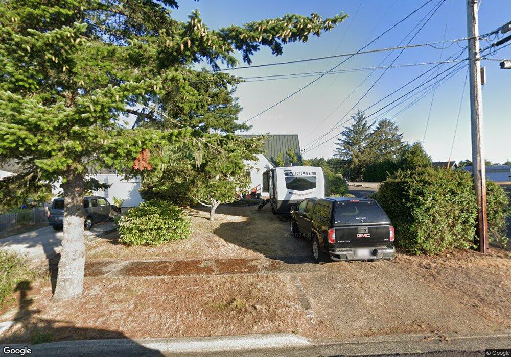
291 Ivy St Florence, OR 97439
Estimated Value: $221,000 - $294,000
3
Beds
1
Bath
553
Sq Ft
$475/Sq Ft
Est. Value
About This Home
This home is located at 291 Ivy St, Florence, OR 97439 and is currently estimated at $262,774, approximately $475 per square foot. 291 Ivy St is a home located in Lane County with nearby schools including Siuslaw Elementary School, Siuslaw Middle School, and Siuslaw High School.
Ownership History
Date
Name
Owned For
Owner Type
Purchase Details
Closed on
Jun 27, 2025
Sold by
Ellingson Ann E and Ellingson Richard K
Bought by
Ellingson Ann E
Current Estimated Value
Purchase Details
Closed on
Jul 10, 2018
Sold by
Chandler Mark Donald and Chandler Cythia Eileen
Bought by
Ellingson Richard K
Purchase Details
Closed on
Jun 24, 1998
Sold by
Goldberg David M and Spanton Deborah L
Bought by
Chandler Mark D and Chandler Cynthia E
Purchase Details
Closed on
Jan 20, 1998
Sold by
Tiegen Tracy D
Bought by
Goldberg David M and Spanton Deborah L
Create a Home Valuation Report for This Property
The Home Valuation Report is an in-depth analysis detailing your home's value as well as a comparison with similar homes in the area
Home Values in the Area
Average Home Value in this Area
Purchase History
| Date | Buyer | Sale Price | Title Company |
|---|---|---|---|
| Ellingson Ann E | -- | None Listed On Document | |
| Ellingson Richard K | $180,000 | Unified Title Co | |
| Chandler Mark D | $50,000 | Western Pioneer Title Co | |
| Goldberg David M | $63,450 | -- |
Source: Public Records
Tax History Compared to Growth
Tax History
| Year | Tax Paid | Tax Assessment Tax Assessment Total Assessment is a certain percentage of the fair market value that is determined by local assessors to be the total taxable value of land and additions on the property. | Land | Improvement |
|---|---|---|---|---|
| 2025 | $1,465 | $107,375 | -- | -- |
| 2024 | $1,423 | $104,248 | -- | -- |
| 2023 | $1,423 | $101,212 | $0 | $0 |
| 2022 | $1,327 | $98,265 | $0 | $0 |
| 2021 | $1,300 | $95,403 | $0 | $0 |
| 2020 | $1,266 | $92,625 | $0 | $0 |
| 2019 | $1,219 | $89,928 | $0 | $0 |
| 2018 | $1,221 | $84,766 | $0 | $0 |
| 2017 | $1,178 | $84,766 | $0 | $0 |
| 2016 | $1,144 | $82,297 | $0 | $0 |
| 2015 | $1,120 | $79,900 | $0 | $0 |
| 2014 | $1,108 | $77,573 | $0 | $0 |
Source: Public Records
Map
Nearby Homes
- 0 Hemlock St Unit 23650308
- 1080 Bay St Unit 19
- 1040 Bay St Unit 14
- 679 Kingwood St
- 179 Laurel St Unit 9
- 1695947 4th St
- 0 Maple St Unit 24040688
- 0 Maple St Unit 7600 24079224
- 1036 9th St
- 920 Hemlock St
- 289 Harbor St
- 1495 8th St
- 211 Harbor St Unit 22
- 75 Harbor St Unit 304
- 1260 10th St Unit 23
- 1260 10th St Unit 11
- 1150 Hemlock St Unit C11
- 1150 Hemlock St Unit D14
- 108 Park Village Loop
- 100 Rhododendron Dr