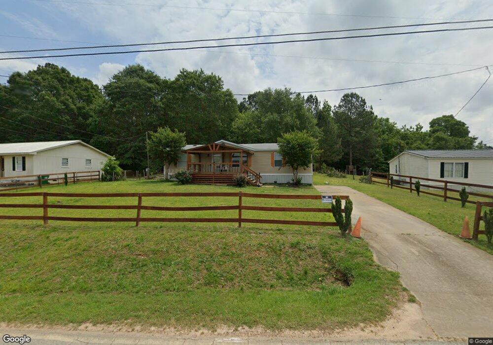
291 Jordan Rd Toccoa, GA 30577
Estimated Value: $39,817 - $152,000
3
Beds
2
Baths
1,248
Sq Ft
$79/Sq Ft
Est. Value
About This Home
This home is located at 291 Jordan Rd, Toccoa, GA 30577 and is currently estimated at $98,606, approximately $79 per square foot. 291 Jordan Rd is a home located in Stephens County with nearby schools including Stephens County High School.
Ownership History
Date
Name
Owned For
Owner Type
Purchase Details
Closed on
Jul 3, 2017
Sold by
Cash Doug
Bought by
Tate Vanesia
Current Estimated Value
Purchase Details
Closed on
Jun 1, 2010
Sold by
Beaman Tammy
Bought by
Citifinancial Inc
Purchase Details
Closed on
Nov 28, 2005
Sold by
Parham Dan
Bought by
Beaman Herbert and Beaman Tammy
Purchase Details
Closed on
Feb 6, 2004
Bought by
<Buyer Info Not Present>
Purchase Details
Closed on
Nov 22, 2002
Bought by
<Buyer Info Not Present>
Purchase Details
Closed on
Sep 25, 2001
Bought by
<Buyer Info Not Present>
Create a Home Valuation Report for This Property
The Home Valuation Report is an in-depth analysis detailing your home's value as well as a comparison with similar homes in the area
Purchase History
| Date | Buyer | Sale Price | Title Company |
|---|---|---|---|
| Tate Vanesia | $20,000 | -- | |
| Citifinancial Inc | $23,827 | -- | |
| Beaman Herbert | $45,400 | -- | |
| <Buyer Info Not Present> | $11,900 | -- | |
| <Buyer Info Not Present> | $16,500 | -- | |
| <Buyer Info Not Present> | $9,300 | -- |
Source: Public Records
Mortgage History
| Date | Status | Borrower | Loan Amount |
|---|---|---|---|
| Previous Owner | Citifinancial Inc | $51,879 |
Source: Public Records
Tax History
| Year | Tax Paid | Tax Assessment Tax Assessment Total Assessment is a certain percentage of the fair market value that is determined by local assessors to be the total taxable value of land and additions on the property. | Land | Improvement |
|---|---|---|---|---|
| 2025 | $120 | $4,375 | $2,375 | $2,000 |
| 2024 | $72 | $2,375 | $2,375 | $0 |
| 2023 | $72 | $2,375 | $2,375 | $0 |
| 2022 | $71 | $2,375 | $2,375 | $0 |
| 2021 | $74 | $2,375 | $2,375 | $0 |
| 2020 | $75 | $2,375 | $2,375 | $0 |
| 2019 | $75 | $2,375 | $2,375 | $0 |
| 2018 | $75 | $2,375 | $2,375 | $0 |
| 2017 | $77 | $2,375 | $2,375 | $0 |
| 2016 | $75 | $2,374 | $2,374 | $0 |
| 2015 | -- | $2,374 | $2,374 | $0 |
| 2014 | -- | $2,375 | $2,375 | $0 |
| 2013 | -- | $0 | $0 | $0 |
Source: Public Records
Map
Nearby Homes
- 1203 Mize Rd
- 103 Old Liberty Hill Rd
- 151 Richardson St
- 184 Scott Cir
- 1562 Liberty Hill Rd
- 820 Collier Rd
- 475 Hilltop Way
- 372 Hilltop Way
- 926 Skyline Dr
- 189 Julia Ln
- 526 Poplar St
- 1037 S Pond St
- 943 S Pond St
- 0 Valley Dr Unit 7675761
- 0 Valley Dr Unit 10600268
- 321 Quail Forest Cir
- 43 Sycamore Dr
- 253 Stancil Dr
- 229 Hilltop Ln
- 0 Stephen Dr Unit 10662201
Your Personal Tour Guide
Ask me questions while you tour the home.