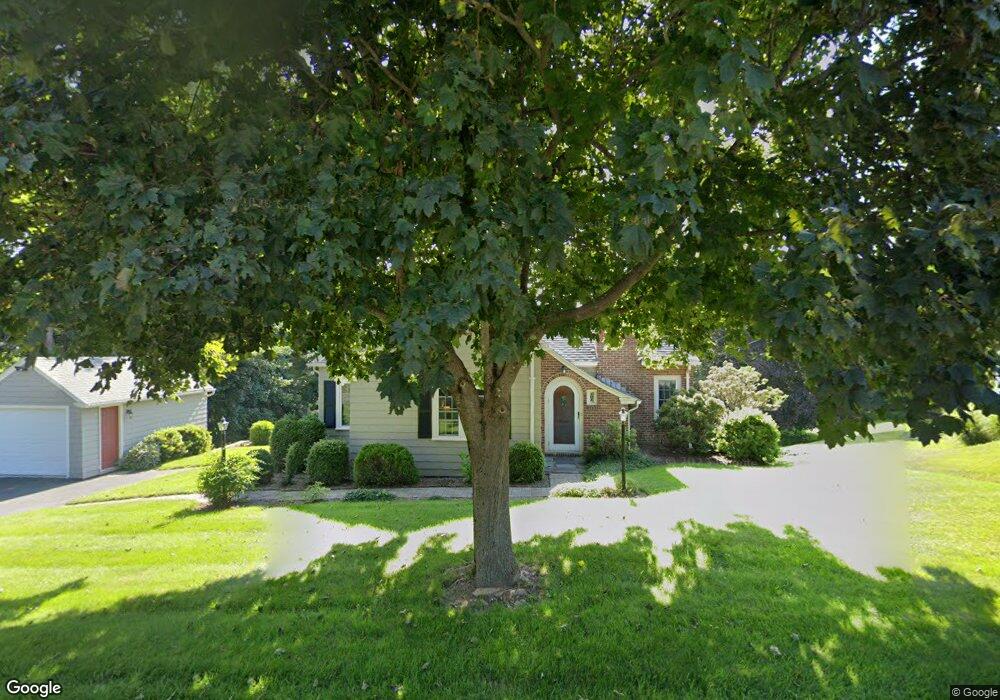
291 Maple St West Boylston, MA 01583
Estimated Value: $440,000 - $558,000
2
Beds
1
Bath
1,060
Sq Ft
$459/Sq Ft
Est. Value
About This Home
This home is located at 291 Maple St, West Boylston, MA 01583 and is currently estimated at $486,127, approximately $458 per square foot. 291 Maple St is a home located in Worcester County with nearby schools including Major Edwards Elementary School, West Boylston Junior/Senior High School, and Abby Kelley Foster Charter Public School.
Ownership History
Date
Name
Owned For
Owner Type
Purchase Details
Closed on
Aug 10, 1993
Sold by
Murphy John H and Murphy Mary F
Bought by
Maljanian Michael S and Faria Kristi L
Current Estimated Value
Home Financials for this Owner
Home Financials are based on the most recent Mortgage that was taken out on this home.
Original Mortgage
$96,000
Interest Rate
7.29%
Mortgage Type
Purchase Money Mortgage
Create a Home Valuation Report for This Property
The Home Valuation Report is an in-depth analysis detailing your home's value as well as a comparison with similar homes in the area
Home Values in the Area
Average Home Value in this Area
Purchase History
| Date | Buyer | Sale Price | Title Company |
|---|---|---|---|
| Maljanian Michael S | $120,000 | -- |
Source: Public Records
Mortgage History
| Date | Status | Borrower | Loan Amount |
|---|---|---|---|
| Open | Maljanian Michael S | $81,000 | |
| Closed | Maljanian Michael S | $96,000 |
Source: Public Records
Tax History Compared to Growth
Tax History
| Year | Tax Paid | Tax Assessment Tax Assessment Total Assessment is a certain percentage of the fair market value that is determined by local assessors to be the total taxable value of land and additions on the property. | Land | Improvement |
|---|---|---|---|---|
| 2025 | $61 | $436,700 | $104,300 | $332,400 |
| 2024 | $5,949 | $402,500 | $104,300 | $298,200 |
| 2023 | $5,766 | $370,100 | $103,400 | $266,700 |
| 2022 | $5,583 | $315,800 | $103,400 | $212,400 |
| 2021 | $5,477 | $296,700 | $99,700 | $197,000 |
| 2020 | $5,316 | $286,100 | $99,700 | $186,400 |
| 2019 | $5,059 | $268,400 | $99,700 | $168,700 |
| 2018 | $4,869 | $260,100 | $99,700 | $160,400 |
| 2017 | $4,446 | $236,500 | $99,700 | $136,800 |
| 2016 | $4,306 | $233,400 | $93,000 | $140,400 |
| 2015 | $4,233 | $230,800 | $92,100 | $138,700 |
Source: Public Records
Map
Nearby Homes
- 1 Highland Ave
- 12 Birchbrush Ln
- 740 Burncoat St Unit B
- 156 Hillside Village Dr
- 83 Hillside Village Dr
- 33 Meola Ave
- 1110 W Boylston St Unit A
- 7 Christy Ct
- 97 Hillside Village Dr
- 59 Santoro Rd
- 39 Meola Ave
- 33 Isleboro St
- 1097 W Boylston St
- 29 Isleboro St
- 39 Davidson Rd
- 44 Dixfield St
- 31 Danielles Way
- 22 Danielles Way
- 26 Danielles Way
- 12 Dixfield Rd