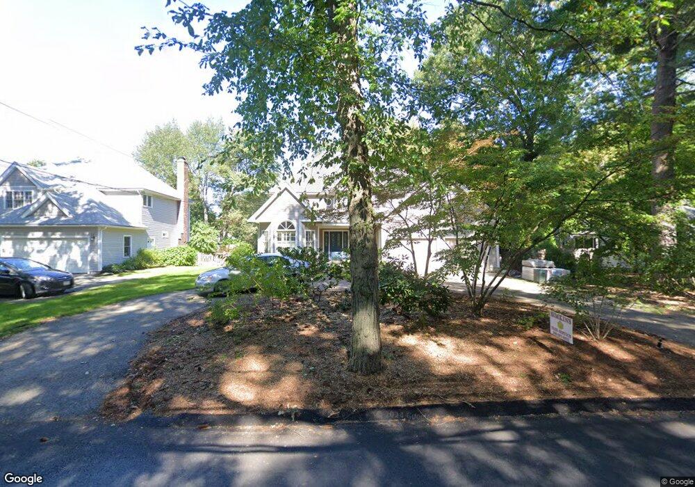
291 Marked Tree Rd Needham, MA 02492
Estimated Value: $1,450,000 - $1,819,730
3
Beds
3
Baths
1,049
Sq Ft
$1,555/Sq Ft
Est. Value
About This Home
This home is located at 291 Marked Tree Rd, Needham, MA 02492 and is currently estimated at $1,630,683, approximately $1,554 per square foot. 291 Marked Tree Rd is a home located in Norfolk County with nearby schools including Newman Elementary School, High Rock Middle School, and Pollard Middle School.
Ownership History
Date
Name
Owned For
Owner Type
Purchase Details
Closed on
Jun 10, 2016
Sold by
Dubin Harold and Dubin Sheryl
Bought by
Harold I Dubin Lt and Dubin
Current Estimated Value
Purchase Details
Closed on
Sep 15, 2004
Sold by
Kelley Mary D and Kelley Paul R
Bought by
Dubin Harold and Dubin Sheryl
Create a Home Valuation Report for This Property
The Home Valuation Report is an in-depth analysis detailing your home's value as well as a comparison with similar homes in the area
Home Values in the Area
Average Home Value in this Area
Purchase History
| Date | Buyer | Sale Price | Title Company |
|---|---|---|---|
| Harold I Dubin Lt | -- | -- | |
| Harold I Dubin Lt | -- | -- | |
| Dubin Harold | $749,000 | -- | |
| Dubin Harold | $749,000 | -- |
Source: Public Records
Mortgage History
| Date | Status | Borrower | Loan Amount |
|---|---|---|---|
| Previous Owner | Dubin Harold | $280,000 | |
| Previous Owner | Dubin Harold | $300,000 |
Source: Public Records
Tax History
| Year | Tax Paid | Tax Assessment Tax Assessment Total Assessment is a certain percentage of the fair market value that is determined by local assessors to be the total taxable value of land and additions on the property. | Land | Improvement |
|---|---|---|---|---|
| 2025 | $16,310 | $1,538,700 | $812,400 | $726,300 |
| 2024 | $13,296 | $1,062,000 | $515,300 | $546,700 |
| 2023 | $13,362 | $1,024,700 | $515,300 | $509,400 |
| 2022 | $12,847 | $960,900 | $473,700 | $487,200 |
| 2021 | $12,122 | $930,300 | $473,700 | $456,600 |
| 2020 | $11,997 | $960,500 | $473,700 | $486,800 |
| 2019 | $11,321 | $913,700 | $431,600 | $482,100 |
| 2018 | $10,855 | $913,700 | $431,600 | $482,100 |
| 2017 | $9,762 | $821,000 | $431,600 | $389,400 |
| 2016 | $9,474 | $821,000 | $431,600 | $389,400 |
| 2015 | $9,269 | $821,000 | $431,600 | $389,400 |
| 2014 | $8,770 | $753,400 | $376,700 | $376,700 |
Source: Public Records
Map
Nearby Homes
- 620 High Rock St
- 95 Deerfield Rd
- 189 Bridle Trail Rd
- 287 High Rock St
- 52 Hancock Rd
- 37 Carleton Dr
- 73 Maple St Unit 1
- 21 Brewster Dr
- 3 Hancock Rd
- 37 Standish Rd
- 19 Mason Rd
- 34 Stratford Rd
- 47 Emerson Rd
- 193 Garden St
- 15 Mackintosh Ave
- 24 Moseley Ave
- 569 Chestnut St
- 102 Jarvis Cir Unit 102
- 233 Warren St
- 1780 Central Ave
- 297 Marked Tree Rd
- 283 Marked Tree Rd
- 301 Marked Tree Rd
- 36 Bonwood Rd
- 1290 Central Ave
- 277 Marked Tree Rd
- 1302 Central Ave
- 34 Bonwood Rd
- 298 Marked Tree Rd
- 309 Marked Tree Rd
- 284 Marked Tree Rd
- 267 Marked Tree Rd
- 40 Bonwood Rd
- 14 Bellevue Dr
- 20 Bellevue Dr
- 1282 Central Ave
- 274 Marked Tree Rd
- Lot 8 Belle Ln
- 30 Bonwood Rd
- 257 Marked Tree Rd
Your Personal Tour Guide
Ask me questions while you tour the home.