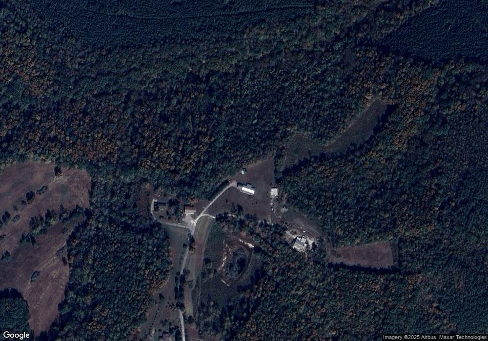
291 Mitchell Ln Westpoint, TN 38486
Estimated Value: $63,000 - $171,000
Studio
1
Bath
432
Sq Ft
$277/Sq Ft
Est. Value
About This Home
This home is located at 291 Mitchell Ln, Westpoint, TN 38486 and is currently estimated at $119,749, approximately $277 per square foot. 291 Mitchell Ln is a home located in Lawrence County with nearby schools including David Crockett Elementary School, Ingram Sowell Elementary School, and Lawrenceburg Public Elementary School.
Ownership History
Date
Name
Owned For
Owner Type
Purchase Details
Closed on
Sep 20, 2006
Sold by
William Sherman
Bought by
Jana Mattox
Current Estimated Value
Purchase Details
Closed on
Jan 30, 2006
Sold by
Bobby Overton
Bought by
William Sherman
Home Financials for this Owner
Home Financials are based on the most recent Mortgage that was taken out on this home.
Original Mortgage
$22,000
Interest Rate
6.21%
Purchase Details
Closed on
Jan 4, 2006
Sold by
Bobby Overton
Bought by
Mitchell Linda S
Home Financials for this Owner
Home Financials are based on the most recent Mortgage that was taken out on this home.
Original Mortgage
$22,000
Interest Rate
6.21%
Purchase Details
Closed on
Dec 12, 2005
Sold by
Bobby Overton
Bought by
Sherman William M
Home Financials for this Owner
Home Financials are based on the most recent Mortgage that was taken out on this home.
Original Mortgage
$22,000
Interest Rate
6.21%
Purchase Details
Closed on
May 5, 2005
Sold by
Judy Keeton
Bought by
Bobby Overton
Home Financials for this Owner
Home Financials are based on the most recent Mortgage that was taken out on this home.
Original Mortgage
$117,475
Interest Rate
5.88%
Purchase Details
Closed on
May 4, 2005
Bought by
Overton Bobby and Overton David Ray
Home Financials for this Owner
Home Financials are based on the most recent Mortgage that was taken out on this home.
Original Mortgage
$117,475
Interest Rate
5.88%
Purchase Details
Closed on
May 3, 2005
Bought by
Judy Keeton and Franks Amela
Home Financials for this Owner
Home Financials are based on the most recent Mortgage that was taken out on this home.
Original Mortgage
$117,475
Interest Rate
5.88%
Purchase Details
Closed on
Apr 27, 2005
Sold by
Farms G and Farms K
Bought by
Daniel Shaffer James
Home Financials for this Owner
Home Financials are based on the most recent Mortgage that was taken out on this home.
Original Mortgage
$117,475
Interest Rate
5.88%
Purchase Details
Closed on
Jan 19, 2005
Sold by
Herbert Wallace
Bought by
Farms/A Tennessee Partne and Farms/A Tennessee Partne K
Purchase Details
Closed on
Jan 18, 2005
Bought by
G & K Farms
Purchase Details
Closed on
Mar 3, 1956
Bought by
Wallace Herbert and Wallace Myrtle
Create a Home Valuation Report for This Property
The Home Valuation Report is an in-depth analysis detailing your home's value as well as a comparison with similar homes in the area
Purchase History
| Date | Buyer | Sale Price | Title Company |
|---|---|---|---|
| Jana Mattox | $23,500 | -- | |
| William Sherman | $25,653 | -- | |
| Mitchell Linda S | $27,861 | -- | |
| Sherman William M | $108,851 | -- | |
| Bobby Overton | $121,475 | -- | |
| Overton Bobby | $121,500 | -- | |
| Judy Keeton | -- | -- | |
| Daniel Shaffer James | $303 | -- | |
| Farms/A Tennessee Partne | $75,714 | -- | |
| G & K Farms | $75,700 | -- | |
| Wallace Herbert | -- | -- |
Source: Public Records
Mortgage History
| Date | Status | Borrower | Loan Amount |
|---|---|---|---|
| Previous Owner | Wallace Herbert | $22,000 | |
| Previous Owner | Wallace Herbert | $117,475 |
Source: Public Records
Tax History Compared to Growth
Tax History
| Year | Tax Paid | Tax Assessment Tax Assessment Total Assessment is a certain percentage of the fair market value that is determined by local assessors to be the total taxable value of land and additions on the property. | Land | Improvement |
|---|---|---|---|---|
| 2025 | $250 | $12,450 | $0 | $0 |
| 2024 | $250 | $12,450 | $4,050 | $8,400 |
| 2023 | $250 | $12,450 | $4,050 | $8,400 |
| 2022 | $250 | $12,450 | $4,050 | $8,400 |
| 2021 | $247 | $8,350 | $3,650 | $4,700 |
| 2020 | $247 | $8,350 | $3,650 | $4,700 |
| 2019 | $247 | $8,350 | $3,650 | $4,700 |
| 2018 | $247 | $8,350 | $3,650 | $4,700 |
| 2017 | $247 | $8,350 | $3,650 | $4,700 |
| 2016 | $247 | $8,350 | $3,650 | $4,700 |
| 2015 | $229 | $8,350 | $3,650 | $4,700 |
| 2014 | $205 | $7,475 | $3,325 | $4,150 |
Source: Public Records
Map
Nearby Homes
- 680 Waterloo Rd
- 887 Waterloo Rd
- 875 Waterloo Rd
- 0 Waterloo Rd
- 476 Waterloo Rd
- 32 N Bradley Rd
- 323 Spring Creek Rd
- 0 Grace Ln
- 0 S Randall Rd
- 48 Mount Lebanon Rd
- 15 Clifton Rd
- 1164 Fish Trapp Rd
- 366 Ridge Rd
- 28 Ok Rd
- 0 Long Branch Rd
- 1145 Highway 64 W
- 0 Cove Ln Unit RTC3056800
- 0 Cove Ln Unit RTC2971413
- 0 Lawrenceburg Hwy Unit RTC3030824
- 0 Cove Ln Unit RTC3056801
