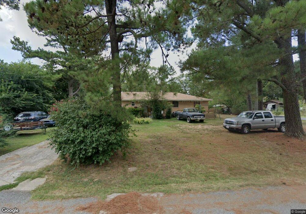
291 N B St Centerton, AR 72719
Estimated Value: $249,444 - $275,000
Studio
2
Baths
1,467
Sq Ft
$178/Sq Ft
Est. Value
About This Home
This home is located at 291 N B St, Centerton, AR 72719 and is currently estimated at $261,111, approximately $177 per square foot. 291 N B St is a home located in Benton County with nearby schools including Centerton Gamble Elementary School, Grimsley Junior High School, and Creekside Middle School.
Ownership History
Date
Name
Owned For
Owner Type
Purchase Details
Closed on
Nov 21, 2005
Sold by
Duncan Constance K
Bought by
Womack Billy
Current Estimated Value
Home Financials for this Owner
Home Financials are based on the most recent Mortgage that was taken out on this home.
Original Mortgage
$75,100
Outstanding Balance
$41,199
Interest Rate
6.06%
Mortgage Type
New Conventional
Estimated Equity
$219,912
Purchase Details
Closed on
Aug 20, 2004
Bought by
Duncan
Purchase Details
Closed on
Aug 12, 2004
Bought by
Duncan
Purchase Details
Closed on
Feb 25, 2004
Bought by
Dod 02 and Dod 13
Purchase Details
Closed on
Aug 18, 1992
Bought by
Boon L and Boon L
Purchase Details
Closed on
Aug 22, 1988
Bought by
Robert Boon
Purchase Details
Closed on
Aug 30, 1982
Bought by
Boon
Purchase Details
Closed on
Sep 10, 1973
Bought by
Boon
Create a Home Valuation Report for This Property
The Home Valuation Report is an in-depth analysis detailing your home's value as well as a comparison with similar homes in the area
Home Values in the Area
Average Home Value in this Area
Purchase History
| Date | Buyer | Sale Price | Title Company |
|---|---|---|---|
| Womack Billy | $76,000 | Transcontinental Title Compa | |
| Duncan | $70,000 | -- | |
| Duncan | $70,000 | -- | |
| Dod 02 | -- | -- | |
| Boon L | -- | -- | |
| Robert Boon | -- | -- | |
| Boon | -- | -- | |
| Boon | -- | -- |
Source: Public Records
Mortgage History
| Date | Status | Borrower | Loan Amount |
|---|---|---|---|
| Open | Womack Billy | $75,100 |
Source: Public Records
Tax History
| Year | Tax Paid | Tax Assessment Tax Assessment Total Assessment is a certain percentage of the fair market value that is determined by local assessors to be the total taxable value of land and additions on the property. | Land | Improvement |
|---|---|---|---|---|
| 2025 | $1,292 | $48,289 | $17,000 | $31,289 |
| 2024 | $1,306 | $48,289 | $17,000 | $31,289 |
| 2023 | $1,365 | $30,260 | $7,000 | $23,260 |
| 2022 | $962 | $30,260 | $7,000 | $23,260 |
| 2021 | $891 | $30,260 | $7,000 | $23,260 |
| 2020 | $849 | $19,240 | $3,600 | $15,640 |
| 2019 | $849 | $19,240 | $3,600 | $15,640 |
| 2018 | $874 | $19,240 | $3,600 | $15,640 |
| 2017 | $744 | $19,240 | $3,600 | $15,640 |
| 2016 | $744 | $19,240 | $3,600 | $15,640 |
| 2015 | $1,046 | $16,960 | $2,500 | $14,460 |
| 2014 | $696 | $16,960 | $2,500 | $14,460 |
Source: Public Records
Map
Nearby Homes
- 195 N A St
- 392 N Main St
- 930 Thornwood Place
- 940 Thornwood Place
- 920 Thornwood Place
- 1730 Greenbank Dr
- 190 & 192 E 2nd St
- 940 Moksha St
- 230 Fern St
- 269 Fern St
- 201 Halleck Coach Rd
- 1771 King Rd
- 101 Fox Run Cir
- 2041 Tallgrass Terrace
- 571 Stoneseed St
- 2131 Periwinkle Place
- 471 Stoneseed St
- 561 Stoneseed St
- 676 Brimwood St
- 133 Fox Run Cir
Your Personal Tour Guide
Ask me questions while you tour the home.