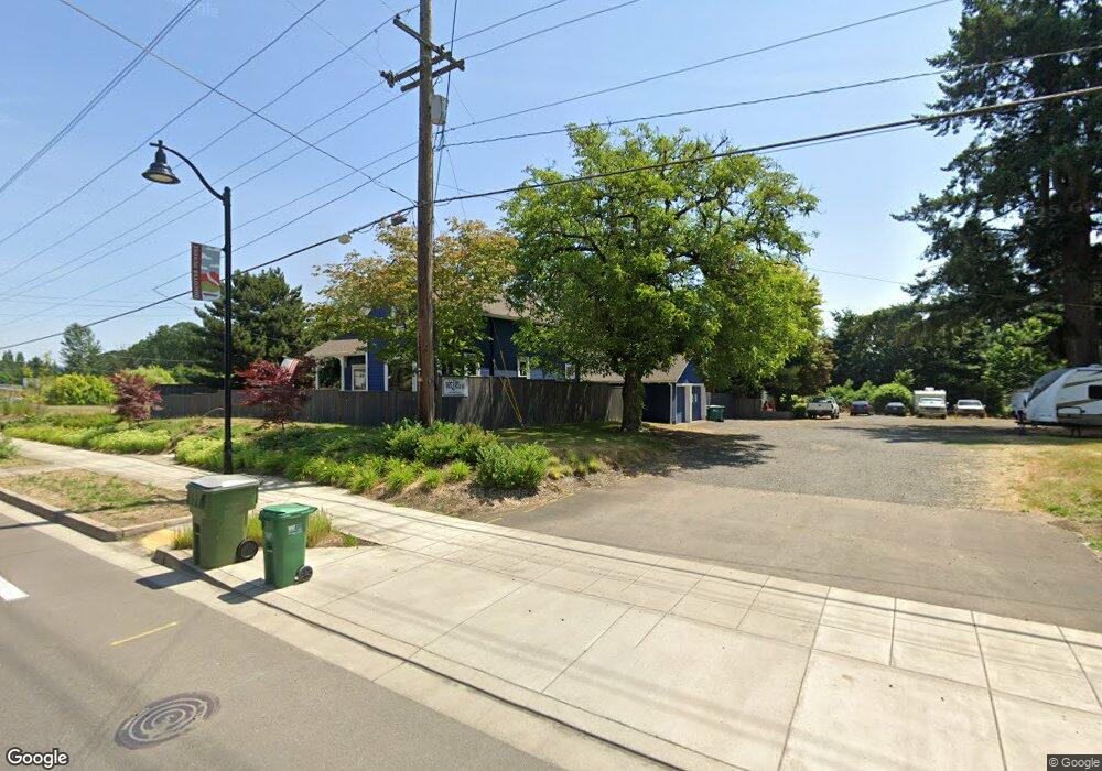
291 N Highway 99w Dundee, OR 97115
Dundee NeighborhoodEstimated Value: $473,014 - $570,000
2
Beds
2
Baths
1,525
Sq Ft
$332/Sq Ft
Est. Value
About This Home
This home is located at 291 N Highway 99w, Dundee, OR 97115 and is currently estimated at $507,004, approximately $332 per square foot. 291 N Highway 99w is a home located in Yamhill County with nearby schools including Dundee Elementary School, Chehalem Valley Middle School, and Newberg Senior High School.
Ownership History
Date
Name
Owned For
Owner Type
Purchase Details
Closed on
Sep 24, 2021
Sold by
Alexandra Moore Karen
Bought by
City Of Dundee
Current Estimated Value
Purchase Details
Closed on
Sep 18, 2020
Sold by
Moore Kevin D and Moore Carol A
Bought by
Moore Karen Alexandra
Home Financials for this Owner
Home Financials are based on the most recent Mortgage that was taken out on this home.
Original Mortgage
$250,000
Interest Rate
2.9%
Mortgage Type
New Conventional
Create a Home Valuation Report for This Property
The Home Valuation Report is an in-depth analysis detailing your home's value as well as a comparison with similar homes in the area
Home Values in the Area
Average Home Value in this Area
Purchase History
| Date | Buyer | Sale Price | Title Company |
|---|---|---|---|
| City Of Dundee | -- | None Listed On Document | |
| Moore Karen Alexandra | $345,000 | Wfg Title |
Source: Public Records
Mortgage History
| Date | Status | Borrower | Loan Amount |
|---|---|---|---|
| Previous Owner | Moore Karen Alexandra | $250,000 |
Source: Public Records
Tax History Compared to Growth
Tax History
| Year | Tax Paid | Tax Assessment Tax Assessment Total Assessment is a certain percentage of the fair market value that is determined by local assessors to be the total taxable value of land and additions on the property. | Land | Improvement |
|---|---|---|---|---|
| 2025 | $2,821 | $199,790 | -- | -- |
| 2024 | $2,640 | $193,971 | -- | -- |
| 2023 | $2,566 | $188,321 | $0 | $0 |
| 2022 | $1,923 | $139,676 | $0 | $0 |
| 2021 | $1,884 | $135,608 | $0 | $0 |
| 2020 | $1,690 | $131,658 | $0 | $0 |
| 2019 | $1,690 | $127,823 | $0 | $0 |
| 2018 | $1,718 | $124,100 | $0 | $0 |
| 2017 | $1,872 | $120,485 | $0 | $0 |
| 2016 | $1,840 | $116,976 | $0 | $0 |
| 2015 | $1,776 | $113,570 | $0 | $0 |
| 2014 | $1,603 | $110,264 | $0 | $0 |
Source: Public Records
Map
Nearby Homes
- 287 SW Oliver Ct
- 310 SW Birch St
- 166 NW Cherry St
- 623 SW 5th St
- 580 SW 9th St
- 759 SW Carmen Heights Dr
- 1039 SW Upland Dr
- 980 SW 7th St
- 625 SW 9th St Unit 32
- 409 SW Red Hills Dr
- 1029 SW View Crest Dr
- 906 SW Alder St Unit 4
- 986 SW Tomahawk Place
- 10580 NE Fox Farm Rd
- 10623 NE Fox Farm Rd
- 9989 NE Trillium Ln
- 1277 SW 11th St
- 22305 NE Ilafern Ln
- 24300 NE Dayton Ave
- 20850 NE Big Fir Ln
- 291 Oregon 99w
- 140 SE 3rd St
- 309 N Highway 99w
- 225 N Highway 99w
- 276 Oregon 99w
- 276 N Highway 99w
- 220 SE Edwards Dr
- 226 SE Edwards Dr
- 210 SE Edwards Dr
- 159 SW 3rd St
- 250 SE Edwards Dr
- 270 SE Edwards Dr
- 240 SE Edwards Dr
- 180 SW 3rd St
- 179 SW 3rd St
- 290 SE Edwards Dr
- 271 SW Namitz Ct
- 220 SW 3rd St
- 392 N Highway 99w
- 249 SW Namitz Ct