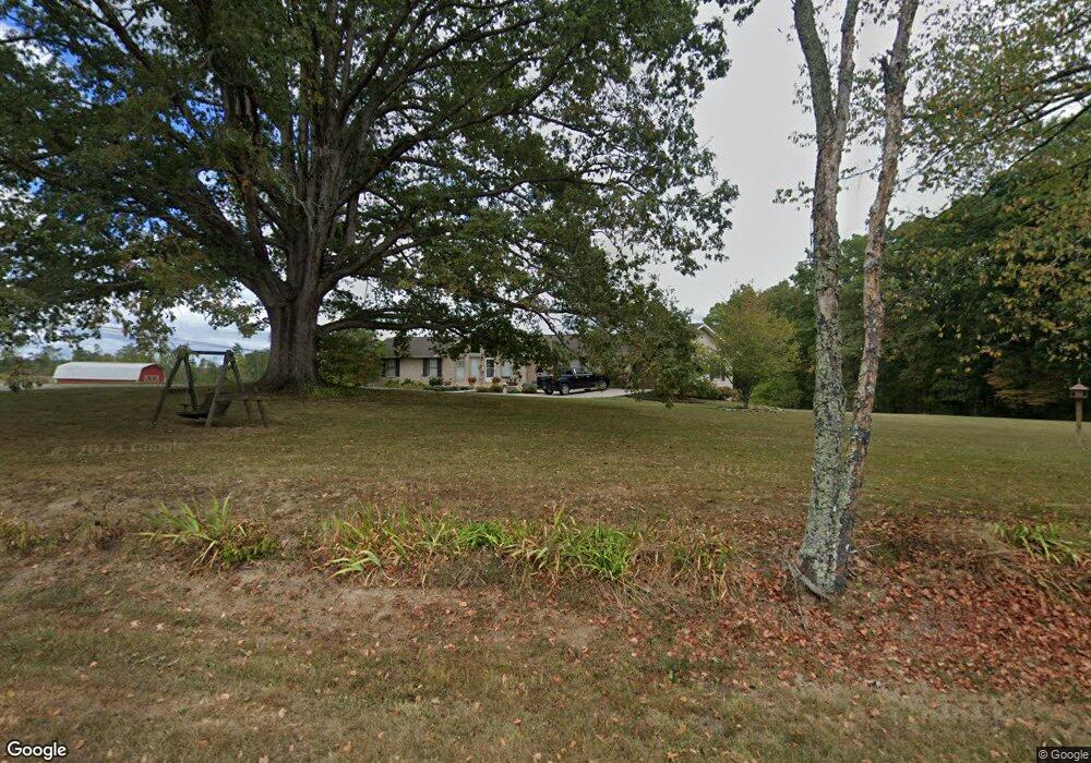
291 Old Us Highway 127 Crossville, TN 38571
Estimated Value: $340,000 - $706,921
3
Beds
2
Baths
1,771
Sq Ft
$296/Sq Ft
Est. Value
About This Home
This home is located at 291 Old Us Highway 127, Crossville, TN 38571 and is currently estimated at $523,461, approximately $295 per square foot. 291 Old Us Highway 127 is a home located in Cumberland County with nearby schools including North Cumberland Elementary School and Stone Memorial High School.
Ownership History
Date
Name
Owned For
Owner Type
Purchase Details
Closed on
Nov 9, 2018
Sold by
Lewis Cox Faulk Amby and Lewis Austin
Bought by
Parks Michael Scott and Parks Tamara L
Current Estimated Value
Purchase Details
Closed on
Dec 9, 2005
Sold by
Howard Michael P
Bought by
Cox Elmer
Purchase Details
Closed on
Jun 6, 2002
Sold by
Cox Dallas Andrew
Bought by
Cox Elmer
Create a Home Valuation Report for This Property
The Home Valuation Report is an in-depth analysis detailing your home's value as well as a comparison with similar homes in the area
Home Values in the Area
Average Home Value in this Area
Purchase History
| Date | Buyer | Sale Price | Title Company |
|---|---|---|---|
| Parks Michael Scott | $225,600 | None Available | |
| Cox Elmer | $3,000 | -- | |
| Howard Michael P | $3,000 | -- | |
| Cox Elmer | $50,000 | -- |
Source: Public Records
Tax History Compared to Growth
Tax History
| Year | Tax Paid | Tax Assessment Tax Assessment Total Assessment is a certain percentage of the fair market value that is determined by local assessors to be the total taxable value of land and additions on the property. | Land | Improvement |
|---|---|---|---|---|
| 2024 | $1,262 | $111,200 | $11,300 | $99,900 |
| 2023 | $1,262 | $111,200 | $0 | $0 |
| 2022 | $1,262 | $92,800 | $11,300 | $81,500 |
| 2021 | $1,032 | $65,900 | $9,800 | $56,100 |
| 2020 | $1,032 | $65,900 | $9,800 | $56,100 |
| 2019 | $1,032 | $65,900 | $9,800 | $56,100 |
| 2018 | $1,032 | $65,900 | $9,800 | $56,100 |
| 2017 | $1,032 | $65,900 | $9,800 | $56,100 |
| 2016 | $978 | $64,000 | $8,025 | $55,975 |
| 2015 | $958 | $64,000 | $8,025 | $55,975 |
| 2014 | $958 | $63,991 | $0 | $0 |
Source: Public Records
Map
Nearby Homes
- 0 Ferry Bend Tr Unit 1292974
- 0 Ferry Bend Tr Unit RTC2995085
- 0 Ferry Bend Tr Unit RTC2995089
- 0 Ferry Bend Tr Unit 1292975
- 0 Ferry Bend Tr Unit 1292679
- 0 Ferry Bend Tr Unit RTC2995090
- 205 Ferry Bend Trail
- Lot 12 Ferry Bend Trail
- Lot 11 Ferry Bend Trail
- Lot 10 Ferry Bend Trail
- 469 Ferry Bend Trail
- 4.47 ac 523 Ferry Bend Trail
- 523 Ferry Bend Trail
- 515 Ferry Bend Trail
- 4.47 ac 523 Ferry Bend Tr
- 447 523 Ferry Bend Tr
- 74 Farmer Rd
- 229 Craig Rd
- 1 Smith Rd
- 2 Smith Rd
- 291 Old U S Highway 127
- 78 Ferry Bend Tr
- 0 Ferry Bend Tr Unit 1036463
- 16141 Highway 127 N
- 78 Ferry Bend Trail
- 128 Ferry Bend Trail
- 112 Ferry Bend Trail
- 169 Ferry Bend Trail
- 106 Old Us Highway 127
- 80 England Ln
- 205 Trail
- 202 Ferry Bend Trail
- 15883 Highway 127 N
- 173 Old Us Highway 127
- 228 Ferry Bend Trail
- 261 Ferry Bend Trail
- 261 Ferry Bend Trail
- 250 Ferry Bend Trail
- 37 Old Us Highway 127
- 37 Old U S Highway 127