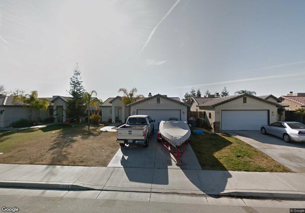
291 Sherman Peak Dr Bakersfield, CA 93308
North Country Meadows NeighborhoodEstimated Value: $303,647 - $334,000
3
Beds
2
Baths
912
Sq Ft
$355/Sq Ft
Est. Value
About This Home
This home is located at 291 Sherman Peak Dr, Bakersfield, CA 93308 and is currently estimated at $323,662, approximately $354 per square foot. 291 Sherman Peak Dr is a home located in Kern County with nearby schools including Wingland Elementary School, Standard Middle School, and North High School.
Ownership History
Date
Name
Owned For
Owner Type
Purchase Details
Closed on
Oct 6, 2004
Sold by
Hays Andrea M
Bought by
Stireman Beth E
Current Estimated Value
Home Financials for this Owner
Home Financials are based on the most recent Mortgage that was taken out on this home.
Original Mortgage
$140,800
Interest Rate
5.37%
Mortgage Type
Purchase Money Mortgage
Purchase Details
Closed on
Sep 21, 2004
Sold by
Stireman Beth E
Bought by
Stireman F Russell and Stireman Beth E
Home Financials for this Owner
Home Financials are based on the most recent Mortgage that was taken out on this home.
Original Mortgage
$140,800
Interest Rate
5.37%
Mortgage Type
Purchase Money Mortgage
Purchase Details
Closed on
May 11, 2001
Sold by
G W Homes Inc
Bought by
Hays Andrea M
Home Financials for this Owner
Home Financials are based on the most recent Mortgage that was taken out on this home.
Original Mortgage
$90,793
Interest Rate
7.15%
Mortgage Type
FHA
Create a Home Valuation Report for This Property
The Home Valuation Report is an in-depth analysis detailing your home's value as well as a comparison with similar homes in the area
Home Values in the Area
Average Home Value in this Area
Purchase History
| Date | Buyer | Sale Price | Title Company |
|---|---|---|---|
| Stireman Beth E | $176,000 | Chicago Title | |
| Stireman F Russell | -- | -- | |
| Stireman Beth E | -- | Chicago Title | |
| Hays Andrea M | $93,000 | American Title Co |
Source: Public Records
Mortgage History
| Date | Status | Borrower | Loan Amount |
|---|---|---|---|
| Previous Owner | Stireman Beth E | $140,800 | |
| Previous Owner | Hays Andrea M | $90,793 |
Source: Public Records
Tax History Compared to Growth
Tax History
| Year | Tax Paid | Tax Assessment Tax Assessment Total Assessment is a certain percentage of the fair market value that is determined by local assessors to be the total taxable value of land and additions on the property. | Land | Improvement |
|---|---|---|---|---|
| 2025 | $4,101 | $245,308 | $41,806 | $203,502 |
| 2024 | $3,972 | $240,499 | $40,987 | $199,512 |
| 2023 | $3,972 | $235,784 | $40,184 | $195,600 |
| 2022 | $3,875 | $231,162 | $39,397 | $191,765 |
| 2021 | $3,368 | $194,000 | $49,000 | $145,000 |
| 2020 | $3,147 | $183,000 | $46,000 | $137,000 |
| 2019 | $3,077 | $177,000 | $44,000 | $133,000 |
| 2018 | $2,818 | $161,000 | $40,000 | $121,000 |
| 2017 | $2,656 | $146,000 | $37,000 | $109,000 |
| 2016 | $2,497 | $149,000 | $37,000 | $112,000 |
| 2015 | $2,348 | $137,000 | $34,000 | $103,000 |
| 2014 | $1,968 | $105,000 | $26,000 | $79,000 |
Source: Public Records
Map
Nearby Homes
- 288 Sherman Peak Dr
- 247 Deep Creek Dr
- 238 Tanner Michael Dr
- 400 Dry Meadow Ln
- 104 Star Ct
- 2810 N Chester Ave
- 2800 N Chester Ave
- 2716 N Chester Ave
- 516 Sun Rose Ave
- 202 Sunny Meadow Dr
- 2701 Deerbrook St
- 513 Sun Rose Ave
- 104 Brighton Way
- 2600 Loganberry Ct
- 325 W Pilot Ave
- 407 W China Grade Loop
- 413 W China Grade Loop
- 437 Rian Noelle Ct
- 419 W China Grade Loop
- 425 W China Grade Loop
- 287 Sherman Peak Dr
- 295 Sherman Peak Dr
- 283 Sherman Peak Dr
- 299 Sherman Peak Dr
- 290 Tanner Michael Dr
- 286 Tanner Michael Dr
- 294 Tanner Michael Dr
- 282 Tanner Michael Dr
- 298 Tanner Michael Dr
- 279 Sherman Peak Dr
- 303 Sherman Peak Dr
- 292 Sherman Peak Dr
- 296 Sherman Peak Dr
- 278 Tanner Michael Dr
- 302 Tanner Michael Dr
- 284 Sherman Peak Dr
- 275 Sherman Peak Dr
- 300 Sherman Peak Dr
- 307 Sherman Peak Dr
- 280 Sherman Peak Dr