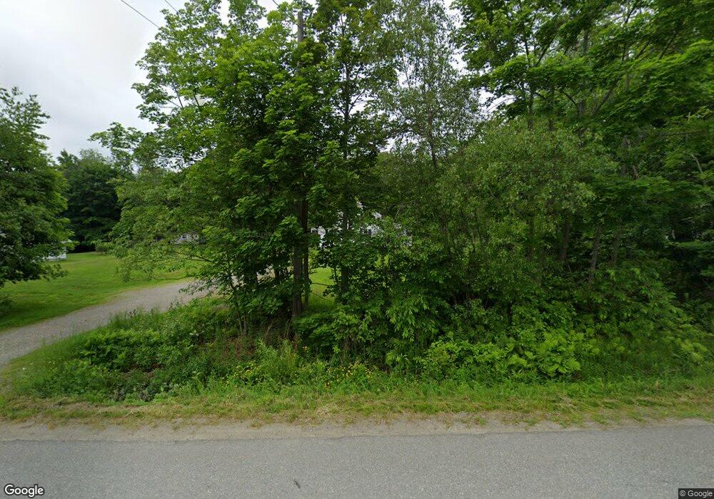
291 Snows Corner Rd Orrington, ME 04474
Estimated Value: $229,882 - $357,000
--
Bed
--
Bath
--
Sq Ft
0.86
Acres
About This Home
This home is located at 291 Snows Corner Rd, Orrington, ME 04474 and is currently estimated at $299,721. 291 Snows Corner Rd is a home located in Penobscot County with nearby schools including Center Drive School and Calvary Chapel Christian School.
Ownership History
Date
Name
Owned For
Owner Type
Purchase Details
Closed on
Oct 1, 2007
Sold by
Doughty Kate L
Bought by
Doughty Kate L and Paul Jeffrey P
Current Estimated Value
Home Financials for this Owner
Home Financials are based on the most recent Mortgage that was taken out on this home.
Original Mortgage
$66,600
Outstanding Balance
$30,342
Interest Rate
6.51%
Mortgage Type
Commercial
Estimated Equity
$269,379
Create a Home Valuation Report for This Property
The Home Valuation Report is an in-depth analysis detailing your home's value as well as a comparison with similar homes in the area
Home Values in the Area
Average Home Value in this Area
Purchase History
| Date | Buyer | Sale Price | Title Company |
|---|---|---|---|
| Doughty Kate L | -- | -- |
Source: Public Records
Mortgage History
| Date | Status | Borrower | Loan Amount |
|---|---|---|---|
| Open | Doughty Kate L | $66,600 |
Source: Public Records
Tax History Compared to Growth
Tax History
| Year | Tax Paid | Tax Assessment Tax Assessment Total Assessment is a certain percentage of the fair market value that is determined by local assessors to be the total taxable value of land and additions on the property. | Land | Improvement |
|---|---|---|---|---|
| 2024 | $2,182 | $200,200 | $45,800 | $154,400 |
| 2023 | $2,077 | $188,800 | $42,600 | $146,200 |
| 2022 | $2,171 | $170,300 | $42,600 | $127,700 |
| 2021 | $2,330 | $155,300 | $42,600 | $112,700 |
| 2020 | $2,331 | $146,600 | $42,600 | $104,000 |
| 2019 | $2,331 | $146,600 | $42,600 | $104,000 |
| 2018 | $1,760 | $146,600 | $42,600 | $104,000 |
| 2017 | $3,080 | $146,600 | $42,600 | $104,000 |
| 2016 | $1,741 | $121,300 | $28,900 | $92,400 |
| 2015 | $1,741 | $121,300 | $28,900 | $92,400 |
| 2014 | $1,640 | $114,300 | $28,900 | $85,400 |
| 2013 | $1,537 | $114,300 | $28,900 | $85,400 |
Source: Public Records
Map
Nearby Homes
- 38 Harvest Dr
- 12 Harvest Dr
- Lot 3 00 Stonewall Dr
- Lot 4 00 Stonewall Dr
- 290 Center Dr
- 473 Center Dr
- 651 S Main St
- 245 Center Dr
- 185 Elm St
- 26 Loon Hollow
- 15 Harbor Dr
- 10 Bald Eagle Dr Unit 10
- 197 Arctic Station Rd
- 108 Marina Rd
- 173 Center Dr
- 101 Oak Hill Rd
- 120 Wiswell Rd
- 900 Brewer Lake Rd
- 33 Hillside Dr
- 23 Carver Rd
- 285 Snows Corner Rd
- 297 Snows Corner Rd
- 298 Snows Corner Rd
- 39 Albert Reed Rd
- 284 Snows Corner Rd
- 305 Snows Corner Rd
- 23 Albert Reed Rd
- 273 Snows Corner Rd
- 274 Snows Corner Rd
- 310 Snows Corner Rd
- 46 Albert Reed Rd
- 313 Snows Corner Rd
- 16 Ruby Ln
- 306 Snows Corner Rd
- 318 Snows Corner Rd
- 275 Snows Corner Rd
- 27 Ruby Ln
- 261 Snows Corner Rd
- 251 Snows Corner Rd
- 0 Albert-Reed Ln Unit 1247942