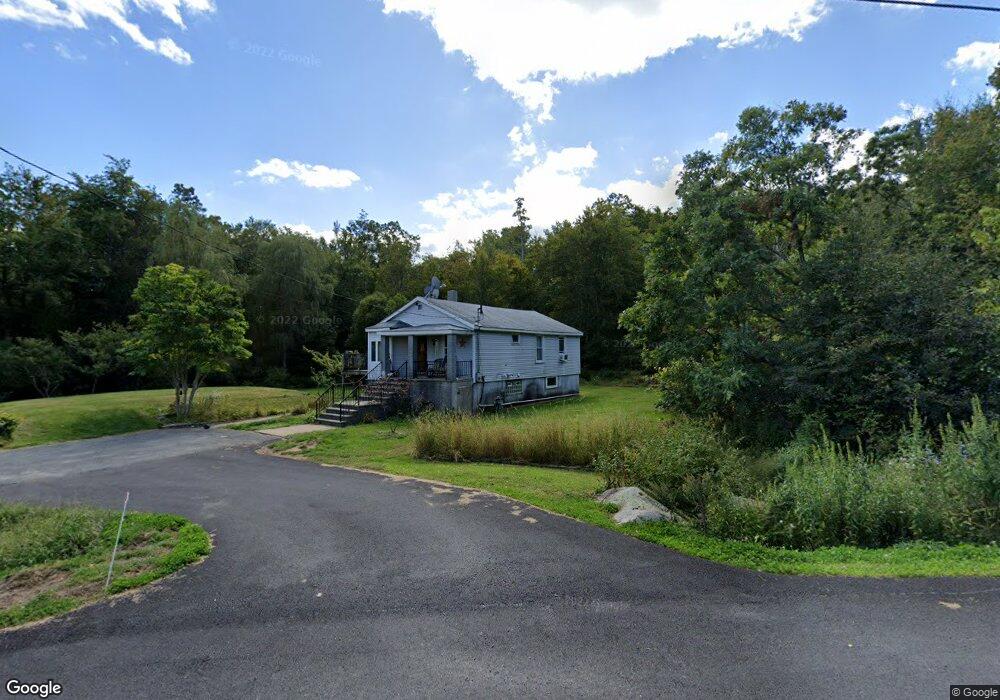
291 State Rd Westport, MA 02790
North Westport NeighborhoodEstimated Value: $424,000 - $998,047
3
Beds
--
Bath
882
Sq Ft
$781/Sq Ft
Est. Value
About This Home
This home is located at 291 State Rd, Westport, MA 02790 and is currently estimated at $689,012, approximately $781 per square foot. 291 State Rd is a home located in Bristol County with nearby schools including Alice A. Macomber Primary School, Westport Elementary School, and Westport Middle-High School.
Create a Home Valuation Report for This Property
The Home Valuation Report is an in-depth analysis detailing your home's value as well as a comparison with similar homes in the area
Home Values in the Area
Average Home Value in this Area
Tax History Compared to Growth
Tax History
| Year | Tax Paid | Tax Assessment Tax Assessment Total Assessment is a certain percentage of the fair market value that is determined by local assessors to be the total taxable value of land and additions on the property. | Land | Improvement |
|---|---|---|---|---|
| 2025 | $2,431 | $326,300 | $148,000 | $178,300 |
| 2024 | $2,318 | $299,900 | $137,100 | $162,800 |
Source: Public Records
Map
Nearby Homes
- 33 William St
- 9 Register Ave
- 6 Beaulieu St
- 25 Beaulieu St
- 128 Old Bedford Rd
- 3 Diane Way
- 92 Benoit St
- 100 D Dr
- 20 Faulkner St
- 116 Gifford Rd
- 34 Alsop St
- 125 Angell St
- 4 Lake Ave
- 37 Eaton St
- 219 Earle St Unit 3
- 217 Earle St Unit 2
- 215 Earle St Unit 1
- 1792 Pleasant St Unit 1808
- 951 Dickinson St
- 1130 Hancock St
- 275 State Rd
- 280 State Rd
- 276 State Rd
- 260 State Rd
- 245 State Rd
- 245 State Rd Unit C
- 74 Sunset Ave
- 170 Sanford Rd
- 48 Sunset Ave
- 248 State Rd
- 248 State Rd Unit 1
- 63 Sunset Ave
- 237 State Rd Unit B
- 237 State Rd Unit A
- 237 State Rd
- 237C State Rd Unit C
- 237 State Rd Unit A&B
- 237C State Rd
- 59 Sunset Ave
- 38 Sunset Ave