291 Wes Locke Rd Barnstead, NH 03218
Estimated Value: $579,000 - $690,000
3
Beds
3
Baths
3,069
Sq Ft
$208/Sq Ft
Est. Value
About This Home
This home is located at 291 Wes Locke Rd, Barnstead, NH 03218 and is currently estimated at $639,019, approximately $208 per square foot. 291 Wes Locke Rd is a home with nearby schools including Barnstead Elementary School and Prospect Mountain High School.
Ownership History
Date
Name
Owned For
Owner Type
Purchase Details
Closed on
Aug 16, 2004
Sold by
R Downing Quality Home
Bought by
Desrochers Michael B and Desrochers Tracey D
Current Estimated Value
Home Financials for this Owner
Home Financials are based on the most recent Mortgage that was taken out on this home.
Original Mortgage
$216,000
Interest Rate
6.16%
Mortgage Type
Purchase Money Mortgage
Create a Home Valuation Report for This Property
The Home Valuation Report is an in-depth analysis detailing your home's value as well as a comparison with similar homes in the area
Home Values in the Area
Average Home Value in this Area
Purchase History
| Date | Buyer | Sale Price | Title Company |
|---|---|---|---|
| Desrochers Michael B | $270,000 | -- |
Source: Public Records
Mortgage History
| Date | Status | Borrower | Loan Amount |
|---|---|---|---|
| Open | Desrochers Michael B | $283,900 | |
| Closed | Desrochers Michael B | $216,000 |
Source: Public Records
Tax History Compared to Growth
Tax History
| Year | Tax Paid | Tax Assessment Tax Assessment Total Assessment is a certain percentage of the fair market value that is determined by local assessors to be the total taxable value of land and additions on the property. | Land | Improvement |
|---|---|---|---|---|
| 2024 | $9,200 | $564,100 | $118,400 | $445,700 |
| 2023 | $8,095 | $564,100 | $118,400 | $445,700 |
| 2022 | $7,854 | $363,600 | $61,000 | $302,600 |
| 2021 | $7,932 | $361,200 | $61,000 | $300,200 |
| 2020 | $8,344 | $361,200 | $61,000 | $300,200 |
| 2019 | $8,246 | $361,200 | $61,000 | $300,200 |
| 2018 | $8,037 | $361,200 | $61,000 | $300,200 |
| 2017 | $7,771 | $268,900 | $42,000 | $226,900 |
| 2016 | $7,328 | $268,900 | $42,000 | $226,900 |
| 2015 | $7,301 | $268,900 | $42,000 | $226,900 |
| 2014 | $6,613 | $276,000 | $42,000 | $234,000 |
| 2013 | $6,486 | $276,000 | $42,000 | $234,000 |
Source: Public Records
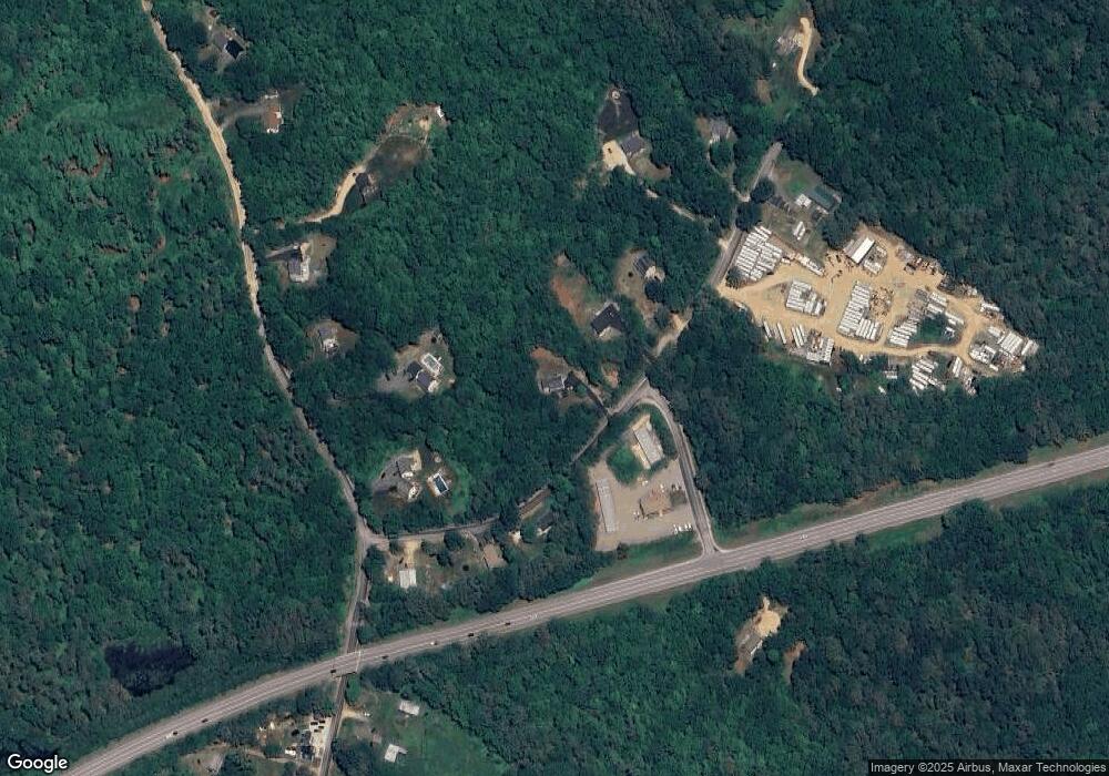
Map
Nearby Homes
- 4 Parade Cir
- 41 Pinepark Dr
- 22-54 Red Oak Rd
- L33 Province Rd
- 260 Garland Rd
- 93 E Huntress Pond Rd
- M2-l29-2 Province Rd
- 371 Province Rd
- 0 Shaw Rd Unit 36-1
- 4 Sandy Point Rd
- M10 L26-3 Valley Dam Rd
- 109 Shackford Corner Rd
- 11 Gray Rd
- 16 Ridge Rd
- 449 Tilton Hill Rd
- Lot 33 Ridge Rd
- 277 Shackford Corner Rd
- 85 Province Rd
- 81 Winant Rd
- 4 Berry Ave
- 275 Wes Locke Rd
- 275 Wes Locke Rd Unit Lot 13
- 261 Wes Locke Rd
- 5 Wes Locke Rd
- 1018 Beauty Hill Rd
- 292 Wes Locke Rd
- 300 Wes Locke Rd
- 0 New Unit Lot 9 4720473
- 1006 Beauty Hill Rd
- 0 Route 28
- 257 Wes Locke Rd
- L129 Wes Locke Rd
- 255 Wes Locke Rd
- 998 Beauty Hill Rd
- 249 Wes Locke Rd
- 992 Beauty Hill Rd
- 3 Beauty Hill Rd
- 250 Wes Locke Rd
- 982 Beauty Hill Rd
- 1044 Beauty Hill Rd