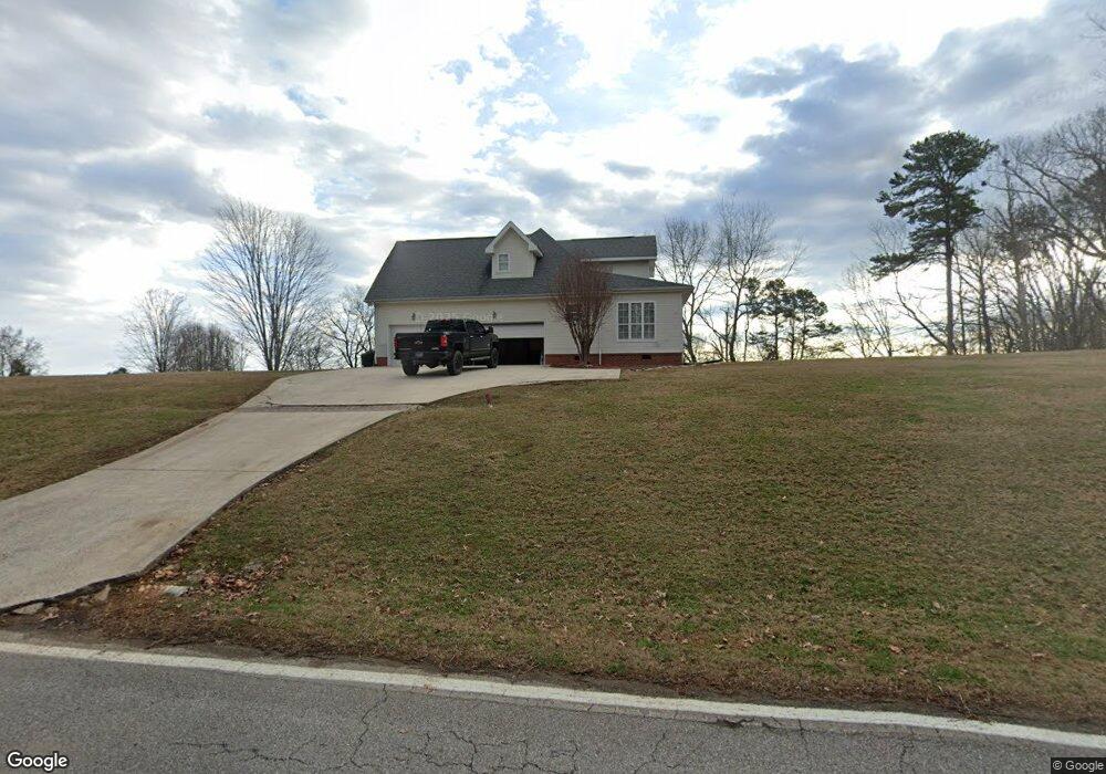
2910 Gold Point Cir S Hixson, TN 37343
Estimated Value: $539,000 - $776,000
4
Beds
3
Baths
2,900
Sq Ft
$213/Sq Ft
Est. Value
About This Home
This home is located at 2910 Gold Point Cir S, Hixson, TN 37343 and is currently estimated at $618,885, approximately $213 per square foot. 2910 Gold Point Cir S is a home located in Hamilton County with nearby schools including McConnell Elementary School, Loftis Middle School, and Hixson High School.
Ownership History
Date
Name
Owned For
Owner Type
Purchase Details
Closed on
Dec 21, 2009
Sold by
Higdon Michael David
Bought by
Hawkins Melanie Denise
Current Estimated Value
Purchase Details
Closed on
Apr 30, 1999
Sold by
Black Neal J and Black Lana F
Bought by
Higdon Michael David and Higdon Melanie Denise
Home Financials for this Owner
Home Financials are based on the most recent Mortgage that was taken out on this home.
Original Mortgage
$191,200
Interest Rate
6.62%
Create a Home Valuation Report for This Property
The Home Valuation Report is an in-depth analysis detailing your home's value as well as a comparison with similar homes in the area
Home Values in the Area
Average Home Value in this Area
Purchase History
| Date | Buyer | Sale Price | Title Company |
|---|---|---|---|
| Hawkins Melanie Denise | -- | None Available | |
| Higdon Michael David | $239,000 | -- |
Source: Public Records
Mortgage History
| Date | Status | Borrower | Loan Amount |
|---|---|---|---|
| Previous Owner | Higdon Michael David | $191,200 |
Source: Public Records
Tax History Compared to Growth
Tax History
| Year | Tax Paid | Tax Assessment Tax Assessment Total Assessment is a certain percentage of the fair market value that is determined by local assessors to be the total taxable value of land and additions on the property. | Land | Improvement |
|---|---|---|---|---|
| 2024 | $2,077 | $92,825 | $0 | $0 |
| 2023 | $2,086 | $92,825 | $0 | $0 |
| 2022 | $2,086 | $92,825 | $0 | $0 |
| 2021 | $2,086 | $92,825 | $0 | $0 |
| 2020 | $2,211 | $79,625 | $0 | $0 |
| 2019 | $2,211 | $79,625 | $0 | $0 |
| 2018 | $2,211 | $79,625 | $0 | $0 |
| 2017 | $2,211 | $79,625 | $0 | $0 |
| 2016 | $2,169 | $0 | $0 | $0 |
| 2015 | $2,169 | $78,125 | $0 | $0 |
| 2014 | $2,169 | $0 | $0 | $0 |
Source: Public Records
Map
Nearby Homes
- 7551 Foster Hixson Cemetery Rd
- 7622 Cove Ridge Dr
- 7604 Cove Ridge Dr
- 7900 Cove Ridge Dr
- 7825 Cove Ridge Dr
- 7716 Ridge Bay Dr
- 2002 Gold Point Cir N
- 3513 Gold Point Cir S
- 3418 Gold Point Cir S
- 1983 Thrasher Pike
- 1820 Rock Bluff Rd
- 1963 Thrasher Pike
- 1706 Mountain Bay Dr
- 7498 Bendire Loop
- 7492 Bendire Loop
- 7468 Bendire Loop
- 7474 Bendire Loop
- 7450 Bendire Loop
- 7420 Bendire Loop
- 2932 Gold Point Cir S
- 2824 S Gold Point Cir
- 2931 Gold Point Cir S
- 2925 Gold Point Cir S
- 7910 Lake Ridge Dr
- 2938 Gold Point Cir S
- 2938 Gold Point Cir S Unit S
- 2948 Gold Point Cir S
- 7906 Lake Ridge Dr
- 7909 Lake Ridge Dr
- 7904 Lake Ridge Dr
- 7601 Hunter Rd
- 2919 Gold Point Cir S
- 7905 Lake Ridge Dr
- 7900 Lake Ridge Dr
- 3000 Gold Point Cir S
- 2954 Gold Point Cir S
- 2801 Chapel Bend Dr
- 7903 Lake Ridge Dr
- 78187820 Lake Ridge Dr