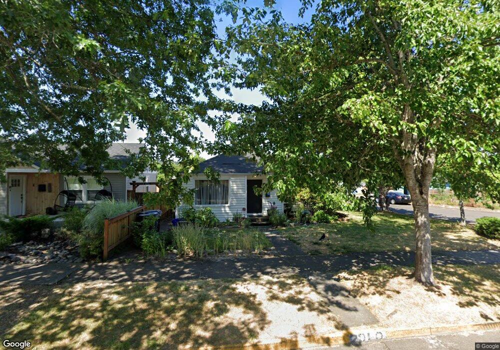
2910 Harris St Eugene, OR 97405
Amazon NeighborhoodEstimated Value: $423,000 - $614,000
3
Beds
2
Baths
1,568
Sq Ft
$313/Sq Ft
Est. Value
About This Home
This home is located at 2910 Harris St, Eugene, OR 97405 and is currently estimated at $490,873, approximately $313 per square foot. 2910 Harris St is a home located in Lane County with nearby schools including Camas Ridge Community Elementary School, Roosevelt Middle School, and South Eugene High School.
Ownership History
Date
Name
Owned For
Owner Type
Purchase Details
Closed on
Dec 29, 2010
Sold by
West Priscilla S
Bought by
P West Properties Llc
Current Estimated Value
Purchase Details
Closed on
Nov 2, 2010
Sold by
Wheeler Thomas H and Lowe Anne
Bought by
West Priscilla S
Purchase Details
Closed on
May 26, 2000
Sold by
Bradshaw William E and Bradshaw C H
Bought by
Wheeler Thomas H and Lowe Anne
Home Financials for this Owner
Home Financials are based on the most recent Mortgage that was taken out on this home.
Original Mortgage
$126,400
Interest Rate
8.08%
Create a Home Valuation Report for This Property
The Home Valuation Report is an in-depth analysis detailing your home's value as well as a comparison with similar homes in the area
Home Values in the Area
Average Home Value in this Area
Purchase History
| Date | Buyer | Sale Price | Title Company |
|---|---|---|---|
| P West Properties Llc | $250,000 | None Available | |
| West Priscilla S | $250,000 | Western Title & Escrow | |
| Wheeler Thomas H | $158,000 | Western Pioneer Title Co |
Source: Public Records
Mortgage History
| Date | Status | Borrower | Loan Amount |
|---|---|---|---|
| Previous Owner | Wheeler Thomas H | $126,400 |
Source: Public Records
Tax History
| Year | Tax Paid | Tax Assessment Tax Assessment Total Assessment is a certain percentage of the fair market value that is determined by local assessors to be the total taxable value of land and additions on the property. | Land | Improvement |
|---|---|---|---|---|
| 2025 | $4,712 | $241,862 | -- | -- |
| 2024 | $4,654 | $234,818 | -- | -- |
| 2023 | $4,654 | $227,979 | $0 | $0 |
| 2022 | $4,360 | $221,339 | $0 | $0 |
| 2021 | $4,095 | $214,893 | $0 | $0 |
| 2020 | $4,109 | $208,634 | $0 | $0 |
| 2019 | $3,969 | $202,558 | $0 | $0 |
| 2018 | $3,736 | $190,931 | $0 | $0 |
| 2017 | $3,569 | $190,931 | $0 | $0 |
| 2016 | $3,480 | $185,370 | $0 | $0 |
| 2015 | $3,380 | $179,971 | $0 | $0 |
| 2014 | $3,312 | $174,729 | $0 | $0 |
Source: Public Records
Map
Nearby Homes
- 2990 Kincaid St
- 2815 Hilyard St
- 2749 Hilyard St
- 2707 Hilyard St
- 3031 Hummingbird Ln
- 3023 Hummingbird Ln
- 2610 Elinor St
- 478 E 32nd Ave
- 0 Agate St
- 894 E 35th Ave
- 3605 Emerald St
- 810 E 37th Ave
- 2642 Central Blvd
- 3615 Donald St
- 3758 Pine Canyon Dr
- 2042 Onyx St
- 3790 Onyx St
- 1210 E 38th Ave
- 3855 Ferry St
- 2925 Charnelton St
- 2920 Harris St
- 2930 Harris St
- 2894 Harris St
- 969 E 29th Ave
- 2909 Kincaid St
- 2940 Harris St
- 2895 Kincaid St
- 2935 Kincaid St
- 2878 Harris St
- 2883 Kincaid St
- 2950 Harris St
- 2945 Kincaid St
- 2897 Harris St
- 2875 Kincaid St
- 2875 Harris St
- 2860 Harris St
- 2949 Kincaid St
- 2960 Harris St
- 2867 Harris St
- 2865 Kincaid St
Your Personal Tour Guide
Ask me questions while you tour the home.