2910 Highway 25 Watertown, MN 55388
Estimated Value: $953,151
--
Bed
--
Bath
7,680
Sq Ft
$124/Sq Ft
Est. Value
About This Home
This home is located at 2910 Highway 25, Watertown, MN 55388 and is currently priced at $953,151, approximately $124 per square foot. 2910 Highway 25 is a home located in Carver County with nearby schools including Watertown-Mayer Elementary School, Watertown-Mayer Middle School, and Watertown Mayer High School.
Ownership History
Date
Name
Owned For
Owner Type
Purchase Details
Closed on
Sep 24, 2025
Sold by
Ploen Mark and Ploen Arlette
Bought by
2910 H20 Llc
Current Estimated Value
Purchase Details
Closed on
Aug 19, 2021
Sold by
Drift Industries Llc
Bought by
Ploen Mark
Purchase Details
Closed on
Oct 2, 2017
Sold by
Watertown Marine Storage & Services Llc
Bought by
Tilt Lock Properties Llc
Home Financials for this Owner
Home Financials are based on the most recent Mortgage that was taken out on this home.
Original Mortgage
$468,000
Interest Rate
3.86%
Mortgage Type
Commercial
Create a Home Valuation Report for This Property
The Home Valuation Report is an in-depth analysis detailing your home's value as well as a comparison with similar homes in the area
Home Values in the Area
Average Home Value in this Area
Purchase History
| Date | Buyer | Sale Price | Title Company |
|---|---|---|---|
| 2910 H20 Llc | $500 | None Listed On Document | |
| Ploen Mark | $850,000 | Titlemark Llc | |
| Tilt Lock Properties Llc | $585,000 | Title Specialists Inc | |
| Ploen Mark Mark | $850,000 | -- |
Source: Public Records
Mortgage History
| Date | Status | Borrower | Loan Amount |
|---|---|---|---|
| Previous Owner | Tilt Lock Properties Llc | $468,000 |
Source: Public Records
Tax History Compared to Growth
Tax History
| Year | Tax Paid | Tax Assessment Tax Assessment Total Assessment is a certain percentage of the fair market value that is determined by local assessors to be the total taxable value of land and additions on the property. | Land | Improvement |
|---|---|---|---|---|
| 2025 | $39,854 | $1,952,400 | $287,500 | $1,664,900 |
| 2024 | $22,896 | $1,358,200 | $287,500 | $1,070,700 |
| 2023 | $22,132 | $818,800 | $183,500 | $635,300 |
| 2022 | $17,294 | $765,500 | $183,500 | $582,000 |
| 2021 | $17,538 | $537,600 | $183,500 | $354,100 |
| 2020 | $17,508 | $526,400 | $183,500 | $342,900 |
| 2019 | $16,692 | $494,000 | $174,800 | $319,200 |
| 2018 | $40 | $494,000 | $174,800 | $319,200 |
| 2017 | $16,716 | $505,300 | $174,800 | $330,500 |
| 2016 | $16,766 | $444,500 | $0 | $0 |
| 2015 | $18,042 | $454,000 | $0 | $0 |
| 2014 | $18,042 | $438,400 | $0 | $0 |
Source: Public Records
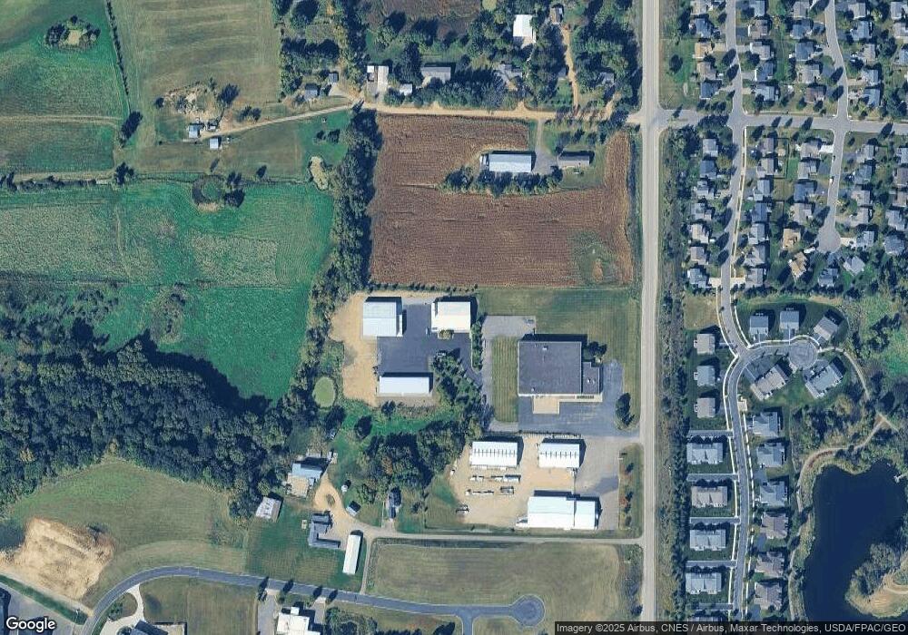
Map
Nearby Homes
- 575 Industrial Blvd
- 555 Industrial Blvd
- 536 Industrial Blvd
- 516 Industrial Blvd
- 829 Reo Rd
- 1290 Knight Ln
- 1221 Bishop Cir
- 1201 Bishop Cir
- 600 Jefferson Ave SW
- 408 Franklin Ave SW
- XXX Newton Ave SE
- xxx Stevens St SW
- 313 Angel Ave SW
- 605 Stevens St SW Unit 43
- 865 Quail Ct
- 604 White St SW Unit 35
- 604 White St SW
- 593 Sienna Dr
- 578 Sienna Dr
- 115 Riverside Terrace Dr Unit 115
- 2728 Highway 25
- 2920 Highway 25
- 2726 Highway 25
- 1395 Landings Ln
- 615 Industrial Blvd
- 1379 Landings Ln
- 635 Industrial Blvd
- 595 Industrial Blvd
- 1403 Landings Ln
- 1407 Riverpointe Rd
- 1409 Riverpointe Rd
- 1365 Landings Ln
- 1411 Riverpointe Rd
- 2724 Highway 25
- 2716 Highway 25
- 1349 Landings Ln
- 1413 Riverpointe Rd
- 1429 Riverpointe Rd
- 1335 Landings Ln
- 2720 Highway 25