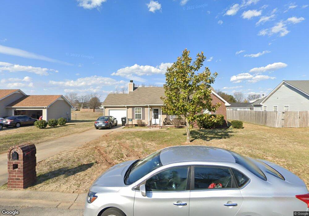
2910 Holsted Dr Murfreesboro, TN 37128
Estimated Value: $312,432 - $344,000
--
Bed
2
Baths
1,310
Sq Ft
$255/Sq Ft
Est. Value
About This Home
This home is located at 2910 Holsted Dr, Murfreesboro, TN 37128 and is currently estimated at $333,608, approximately $254 per square foot. 2910 Holsted Dr is a home located in Rutherford County with nearby schools including Cason Lane Academy, Rockvale Middle School, and Rockvale High School.
Ownership History
Date
Name
Owned For
Owner Type
Purchase Details
Closed on
Jun 18, 2004
Sold by
Frances and Jama
Bought by
Solid Rock Venture
Current Estimated Value
Purchase Details
Closed on
Oct 14, 2002
Sold by
H U D
Bought by
Francis and Jama
Purchase Details
Closed on
Jun 20, 2002
Sold by
Ray Becker John
Bought by
Hud
Purchase Details
Closed on
Jul 6, 1999
Sold by
Cason Ln Dev Llc
Bought by
Becker Joshua R and Becker Jennifer
Home Financials for this Owner
Home Financials are based on the most recent Mortgage that was taken out on this home.
Original Mortgage
$96,319
Interest Rate
7.43%
Create a Home Valuation Report for This Property
The Home Valuation Report is an in-depth analysis detailing your home's value as well as a comparison with similar homes in the area
Home Values in the Area
Average Home Value in this Area
Purchase History
| Date | Buyer | Sale Price | Title Company |
|---|---|---|---|
| Solid Rock Venture | -- | -- | |
| Francis | $88,500 | -- | |
| Hud | $103,173 | -- | |
| Becker Joshua R | $96,400 | -- |
Source: Public Records
Mortgage History
| Date | Status | Borrower | Loan Amount |
|---|---|---|---|
| Previous Owner | Becker Joshua R | $96,319 |
Source: Public Records
Tax History Compared to Growth
Tax History
| Year | Tax Paid | Tax Assessment Tax Assessment Total Assessment is a certain percentage of the fair market value that is determined by local assessors to be the total taxable value of land and additions on the property. | Land | Improvement |
|---|---|---|---|---|
| 2025 | $1,767 | $62,475 | $13,750 | $48,725 |
| 2024 | $1,767 | $62,475 | $13,750 | $48,725 |
| 2023 | $1,172 | $62,475 | $13,750 | $48,725 |
| 2022 | $1,010 | $62,475 | $13,750 | $48,725 |
| 2021 | $959 | $43,200 | $9,375 | $33,825 |
| 2020 | $959 | $43,200 | $9,375 | $33,825 |
| 2019 | $959 | $43,200 | $9,375 | $33,825 |
| 2018 | $1,317 | $43,200 | $0 | $0 |
| 2017 | $1,218 | $31,325 | $0 | $0 |
| 2016 | $1,218 | $31,325 | $0 | $0 |
| 2015 | $1,218 | $31,325 | $0 | $0 |
| 2014 | $779 | $31,325 | $0 | $0 |
| 2013 | -- | $32,100 | $0 | $0 |
Source: Public Records
Map
Nearby Homes
- 1518 Saint Andrews Dr
- 1421 Rebecca Johns Dr
- 1442 Rebecca Johns Dr Unit V20
- 1710 Locerbie Dr
- 2940 Waywood Dr
- 3331 Alta Ln
- 3315 Alta Ln
- 1541 Teresa Ln
- 627 Tidesridge Ct
- 725 Stonetrace Dr
- 2307 Katie Ct
- 2905 Stonehedge Dr
- 647 Stonetrace Dr
- 412 Conhocken Ct
- 1725 Satterfield Ct
- 1417 Ovaldale Dr
- 1823 Joben Dr
- 1419 Cason Trail
- 2326 Amber Glen Dr
- 2311 Sunland Ct
- 2914 Holsted Dr
- 2906 Holsted Dr
- 2918 Holsted Dr
- 2911 Holsted Dr
- 2915 Holsted Dr
- 1312 Azure Way
- 2911 Boyle Ct
- 2907 Boyle Ct
- 1248 Azure Way
- 2919 Holsted Dr
- 2922 Holsted Dr
- 2826 Holsted Dr
- 2915 Boyle Ct
- 2908 Boyle Ct
- 2910 Wellington Place
- 1251 Azure Way
- 1311 Azure Way
- 2914 Wellington Place
- 2923 Holsted Dr
- 1316 Azure Way