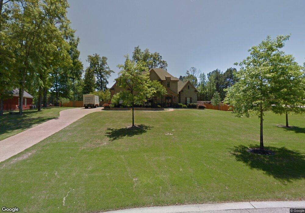
2911 Manning Cir S Nesbit, MS 38651
Pleasant Hill NeighborhoodEstimated Value: $505,361 - $601,000
3
Beds
--
Bath
4,489
Sq Ft
$126/Sq Ft
Est. Value
About This Home
This home is located at 2911 Manning Cir S, Nesbit, MS 38651 and is currently estimated at $566,840, approximately $126 per square foot. 2911 Manning Cir S is a home located in DeSoto County with nearby schools including DeSoto Central Primary School, DeSoto Central Elementary School, and DeSoto Central Middle School.
Ownership History
Date
Name
Owned For
Owner Type
Purchase Details
Closed on
Mar 14, 2023
Sold by
Britt Mary G
Bought by
Britt Charles Andrew and Britt Mary G
Current Estimated Value
Purchase Details
Closed on
Sep 27, 2021
Sold by
Crow Nicholas and Crow Melanie
Bought by
Britt Mary G
Create a Home Valuation Report for This Property
The Home Valuation Report is an in-depth analysis detailing your home's value as well as a comparison with similar homes in the area
Home Values in the Area
Average Home Value in this Area
Purchase History
| Date | Buyer | Sale Price | Title Company |
|---|---|---|---|
| Britt Charles Andrew | -- | None Listed On Document | |
| Britt Mary G | -- | None Available |
Source: Public Records
Tax History
| Year | Tax Paid | Tax Assessment Tax Assessment Total Assessment is a certain percentage of the fair market value that is determined by local assessors to be the total taxable value of land and additions on the property. | Land | Improvement |
|---|---|---|---|---|
| 2025 | $3,277 | $34,537 | $5,500 | $29,037 |
| 2024 | $3,914 | $34,537 | $5,500 | $29,037 |
| 2023 | $3,914 | $34,537 | $0 | $0 |
| 2022 | $3,831 | $34,537 | $5,500 | $29,037 |
| 2021 | $4,594 | $34,537 | $5,500 | $29,037 |
| 2020 | $4,278 | $32,302 | $5,500 | $26,802 |
| 2019 | $4,278 | $32,302 | $5,500 | $26,802 |
| 2017 | $4,432 | $60,948 | $33,224 | $27,724 |
| 2016 | $4,432 | $33,224 | $5,500 | $27,724 |
| 2015 | $4,732 | $60,948 | $33,224 | $27,724 |
| 2014 | $4,432 | $33,224 | $0 | $0 |
| 2013 | $4,536 | $33,081 | $0 | $0 |
Source: Public Records
Map
Nearby Homes
- 3456 Susie Cir
- 401 Getwell Rd
- 403 Getwell Rd
- 3491 Hatton Dr
- 3505 Kreunen St
- 3621 Hatton Dr
- 3622 Hatton Dr
- 3617 Kreunen St
- 3631 Kreunen St
- 2951 Eden Ln
- 2952 Eden Ln
- 2945 Molly Cove
- 3820 Windermere Rd N
- 4055 Bakersfield Dr
- 2955 Molly Cove
- 2984 Eden Ln
- 3250 W Hartland Dr
- 4020 Maryan Ct
- 2956 Molly Cove
- 1835 Baisley Dr
- 2937 Manning Cir S
- 2799 Grove Unit Meadows
- 2865 Manning Cir S
- 2058 E 2058 Manning Circle Cir E
- 2077 Manning Cir S
- 2185 Hemingway Dr
- 2058 Manning Cir E
- 2905 Lester Rd
- 2915 Lester Rd
- 2880 Manning Cir S
- 2895 Lester Rd
- 2843 Manning Cir S
- 2115 Manning Cir E
- 2115 E Manning Cir
- 2854 Manning Cir S
- 2118 Manning Cir E
- 2835 Lester Rd
- 2139 Manning Cir E
- 2811 Manning Cir S
- 2148 Chancellor Cove
Your Personal Tour Guide
Ask me questions while you tour the home.