2912 Avery Cir Unit 2912 Springfield, OH 45503
Estimated Value: $193,000 - $208,000
2
Beds
2
Baths
1,176
Sq Ft
$173/Sq Ft
Est. Value
About This Home
This home is located at 2912 Avery Cir Unit 2912, Springfield, OH 45503 and is currently estimated at $203,788, approximately $173 per square foot. 2912 Avery Cir Unit 2912 is a home located in Clark County with nearby schools including Kenton Elementary School, Roosevelt Middle School, and Springfield High School.
Ownership History
Date
Name
Owned For
Owner Type
Purchase Details
Closed on
Sep 12, 2025
Sold by
Mcclure Jeffrey and Mcclure Penny
Bought by
Brewer Terrence E and Brewer Claudia J
Current Estimated Value
Purchase Details
Closed on
May 8, 2009
Sold by
Flora James H and Flora Carolyn A
Bought by
Flora Carolyn A
Purchase Details
Closed on
Jul 25, 2007
Sold by
Orr Frank O and Orr Penny D
Bought by
Adams Wanda J
Purchase Details
Closed on
Aug 24, 1998
Sold by
Security National Bank
Bought by
Orr Frank O and Orr Penny D
Home Financials for this Owner
Home Financials are based on the most recent Mortgage that was taken out on this home.
Original Mortgage
$83,750
Interest Rate
7.04%
Purchase Details
Closed on
Nov 17, 1993
Create a Home Valuation Report for This Property
The Home Valuation Report is an in-depth analysis detailing your home's value as well as a comparison with similar homes in the area
Home Values in the Area
Average Home Value in this Area
Purchase History
| Date | Buyer | Sale Price | Title Company |
|---|---|---|---|
| Brewer Terrence E | $205,000 | None Listed On Document | |
| Brewer Terrence E | $205,000 | None Listed On Document | |
| Flora Carolyn A | -- | None Available | |
| Flora James H | $90,900 | Attorney | |
| Adams Wanda J | $97,500 | Attorney | |
| Orr Frank O | $88,200 | -- | |
| -- | -- | -- |
Source: Public Records
Mortgage History
| Date | Status | Borrower | Loan Amount |
|---|---|---|---|
| Previous Owner | Orr Frank O | $83,750 |
Source: Public Records
Tax History Compared to Growth
Tax History
| Year | Tax Paid | Tax Assessment Tax Assessment Total Assessment is a certain percentage of the fair market value that is determined by local assessors to be the total taxable value of land and additions on the property. | Land | Improvement |
|---|---|---|---|---|
| 2024 | $1,142 | $32,870 | $5,380 | $27,490 |
| 2023 | $1,142 | $32,870 | $5,380 | $27,490 |
| 2022 | $1,623 | $32,870 | $5,380 | $27,490 |
| 2021 | $1,548 | $28,940 | $4,380 | $24,560 |
| 2020 | $1,551 | $28,940 | $4,380 | $24,560 |
| 2019 | $1,555 | $28,940 | $4,380 | $24,560 |
| 2018 | $1,463 | $26,140 | $3,820 | $22,320 |
| 2017 | $1,462 | $25,526 | $3,815 | $21,711 |
| 2016 | $1,464 | $25,526 | $3,815 | $21,711 |
| 2015 | $679 | $25,211 | $3,500 | $21,711 |
| 2014 | $1,352 | $25,211 | $3,500 | $21,711 |
| 2013 | $669 | $25,211 | $3,500 | $21,711 |
Source: Public Records
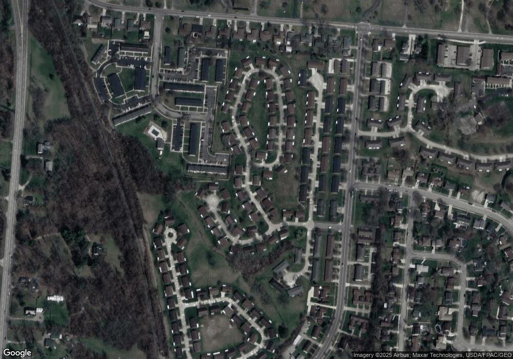
Map
Nearby Homes
- 732 Grandview Dr Unit 732
- 542 Villa Rd
- 537 Rensselaer St
- 647 Villa Rd Unit A
- 2813 Wellsford Dr
- 2933 Stonehaven Dr
- 2677 Carousel Dr
- 2933 Bahia Dr
- 2540 Rebecca Dr
- 1225 Vester Ave
- 2516 Balsam Dr
- 2683 Home Orchard Dr
- 2642 Kilkenny Ct
- 2524 Home Orchard Dr
- 2408 Balsam Dr
- 385 Secretariat Dr
- 417 Braytonburne Dr
- 3032 Armsgate Rd Unit 25
- 3029 Bradford Dr Unit 46
- 26 Thomaston Trail
- 2912 Avery Cir
- 2916 Avery Cir
- 2908 Avery Cir Unit 2908
- 2913 Avery Cir
- 2917 Avery Cir Unit 2917
- 2909 Avery Cir
- 2915 Avery Cir
- 2904 Avery Cir
- 2920 Avery Cir Unit 2920
- 2905 Avery Cir
- 532 Argonne Ave
- 2901 Avery Cir Unit 2901
- 2930 Avery Cir Unit 2930
- 2925 Avery Cir
- 2927 Avery Cir Unit 2927
- 2927 Avery Cir
- 2900 Avery Cir
- 2924 Avery Cir Unit 2924
- 2924 Avery Cir
- 2924 Avery Cir