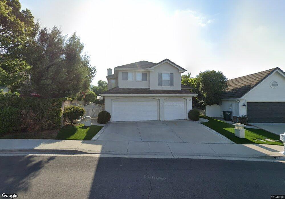
2912 Evesham Ave Thousand Oaks, CA 91362
Estimated Value: $1,176,336 - $1,379,000
4
Beds
3
Baths
2,568
Sq Ft
$496/Sq Ft
Est. Value
About This Home
This home is located at 2912 Evesham Ave, Thousand Oaks, CA 91362 and is currently estimated at $1,274,584, approximately $496 per square foot. 2912 Evesham Ave is a home located in Ventura County with nearby schools including Lang Ranch, Los Cerritos Middle School, and Westlake High School.
Ownership History
Date
Name
Owned For
Owner Type
Purchase Details
Closed on
Jul 19, 2012
Sold by
Lan Oliver and Lan Sandy
Bought by
Lan Oliver and Lan Sandy
Current Estimated Value
Purchase Details
Closed on
Dec 1, 1994
Sold by
Standard Pacific Corp
Bought by
Lan Oliver and Lan Sandy
Home Financials for this Owner
Home Financials are based on the most recent Mortgage that was taken out on this home.
Original Mortgage
$160,000
Interest Rate
2.95%
Create a Home Valuation Report for This Property
The Home Valuation Report is an in-depth analysis detailing your home's value as well as a comparison with similar homes in the area
Purchase History
| Date | Buyer | Sale Price | Title Company |
|---|---|---|---|
| Lan Oliver | -- | None Available | |
| Lan Oliver | $320,000 | Chicago Title |
Source: Public Records
Mortgage History
| Date | Status | Borrower | Loan Amount |
|---|---|---|---|
| Closed | Lan Oliver | $160,000 |
Source: Public Records
Tax History
| Year | Tax Paid | Tax Assessment Tax Assessment Total Assessment is a certain percentage of the fair market value that is determined by local assessors to be the total taxable value of land and additions on the property. | Land | Improvement |
|---|---|---|---|---|
| 2025 | $6,435 | $541,037 | $214,948 | $326,089 |
| 2024 | $6,435 | $530,429 | $210,733 | $319,696 |
| 2023 | $6,240 | $520,029 | $206,601 | $313,428 |
| 2022 | $6,114 | $509,833 | $202,550 | $307,283 |
| 2021 | $5,988 | $499,837 | $198,579 | $301,258 |
| 2020 | $5,550 | $494,714 | $196,544 | $298,170 |
| 2019 | $5,401 | $485,015 | $192,691 | $292,324 |
| 2018 | $5,287 | $475,506 | $188,913 | $286,593 |
| 2017 | $5,179 | $466,183 | $185,209 | $280,974 |
| 2016 | $5,124 | $457,043 | $181,578 | $275,465 |
| 2015 | $5,031 | $450,179 | $178,851 | $271,328 |
| 2014 | $4,954 | $441,363 | $175,349 | $266,014 |
Source: Public Records
Map
Nearby Homes
- 2181 Brookfield Dr
- 2845 Queens Way
- 2457 Rutland Place
- 2654 Whitechapel Place
- 2280 Meadowside Dr
- 2596 Rikkard Dr
- 2225 Calle Riscoso
- 1915 Woodside Dr
- 3225 Futura Point
- 2649 Rikkard Dr
- 3182 Toulouse Cir
- 2283 Northpark St
- 2397 Laurelpark Ct
- 2202 Aspenpark Ct
- 2136 Mccrea Rd
- 3542 N Avenida Montuoso
- 3434 Fayance Place
- 2924 Blazing Star Dr Unit 52
- 2749 Amber Wood Place
- 2980 Blazing Star Dr
- 2312 Solway Ct
- 2324 Solway Ct
- 2900 Evesham Ave
- 2348 Solway Ct
- 2871 Sandhurst Ave
- 2883 Sandhurst Ave
- 2859 Sandhurst Ave
- 2360 Solway Ct
- 2894 Evesham Ave
- 2917 Evesham Ave
- 2905 Evesham Ave
- 2847 Sandhurst Ave
- 2372 Solway Ct
- 2893 Evesham Ave
- 2888 Evesham Ave
- 2319 Solway Ct
- 2305 Solway Ct
- 2331 Solway Ct
- 2835 Sandhurst Ave
- 2299 Solway Ct
Your Personal Tour Guide
Ask me questions while you tour the home.