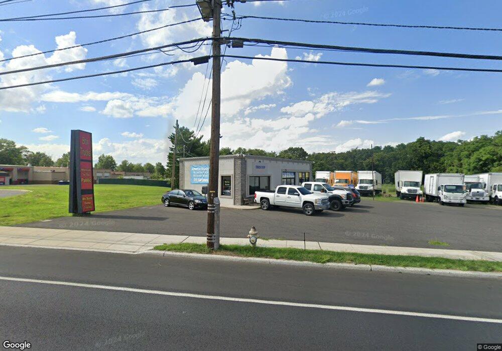
2913 Route 130 Delran, NJ 08075
Estimated Value: $1,266,860
--
Bed
--
Bath
1,325
Sq Ft
$956/Sq Ft
Est. Value
About This Home
This home is located at 2913 Route 130, Delran, NJ 08075 and is currently estimated at $1,266,860, approximately $956 per square foot. 2913 Route 130 is a home located in Burlington County with nearby schools including Millbridge Elementary School, Delran Intermediate School, and Delran Middle School.
Ownership History
Date
Name
Owned For
Owner Type
Purchase Details
Closed on
Oct 21, 2019
Sold by
Tittermary Joseph J and Tittermary Joann
Bought by
United Service Group Inc
Current Estimated Value
Home Financials for this Owner
Home Financials are based on the most recent Mortgage that was taken out on this home.
Original Mortgage
$525,000
Interest Rate
3.7%
Mortgage Type
Commercial
Create a Home Valuation Report for This Property
The Home Valuation Report is an in-depth analysis detailing your home's value as well as a comparison with similar homes in the area
Home Values in the Area
Average Home Value in this Area
Purchase History
| Date | Buyer | Sale Price | Title Company |
|---|---|---|---|
| United Service Group Inc | $700,000 | Evident Title Agency Inc |
Source: Public Records
Mortgage History
| Date | Status | Borrower | Loan Amount |
|---|---|---|---|
| Previous Owner | United Service Group Inc | $525,000 |
Source: Public Records
Tax History Compared to Growth
Tax History
| Year | Tax Paid | Tax Assessment Tax Assessment Total Assessment is a certain percentage of the fair market value that is determined by local assessors to be the total taxable value of land and additions on the property. | Land | Improvement |
|---|---|---|---|---|
| 2025 | $8,465 | $212,900 | $160,900 | $52,000 |
| 2024 | $8,388 | $212,900 | $160,900 | $52,000 |
| 2023 | $8,388 | $212,900 | $160,900 | $52,000 |
| 2022 | $8,280 | $212,900 | $160,900 | $52,000 |
| 2021 | $8,284 | $212,900 | $160,900 | $52,000 |
| 2020 | $8,267 | $212,900 | $160,900 | $52,000 |
| 2019 | $8,190 | $212,900 | $160,900 | $52,000 |
| 2018 | $8,054 | $212,900 | $160,900 | $52,000 |
| 2017 | $12,088 | $331,400 | $160,900 | $170,500 |
| 2016 | $11,906 | $331,400 | $160,900 | $170,500 |
| 2015 | $11,704 | $331,400 | $160,900 | $170,500 |
| 2014 | $11,183 | $331,400 | $160,900 | $170,500 |
Source: Public Records
Map
Nearby Homes
- 88 Princeton Dr
- 2209 New Albany Rd
- 13 Rutgers Dr
- 704 Endicott Ave
- 53 Princeton Dr
- 2408 New Albany Rd
- 29 Haines Mill Rd
- 43 Princeton Dr
- 2305 Andover Rd
- 60 Notre Dame Dr
- 633 Chapel Rd
- 128 Dorado Dr
- 811 Fordham St
- 121 Dorado Dr
- 810 Colby Ave
- 820 S Chester Ave
- 471 Buttonwood Ln
- 31 Cornell Dr
- 8 Toby Wells Ct
- 164 Fox Chase Dr
- 150 Carriage Ln Unit A
- 150 Carriage Ln Unit C
- 150 Carriage Ln
- 2902 Route 130
- 2925 Route 130
- 2910 Route 130
- 2910 Route 130 Unit 3
- 2910 Route 130 Unit 3
- 193 Tenby Chase Dr
- 193 Tenby Chase Dr
- 2834 Route 130
- 200 Carriage Ln
- 207209 Carr Ln
- 2023 Chestnut Hill Dr
- 2802 Route 130 N
- 2101 Arleigh Rd
- 2102 Chestnut Hill Dr
- 2103 Arleigh Rd
- 14 North Dr
- 16 North Dr