2914 Alliance Rd Rootstown, OH 44272
Estimated Value: $69,128 - $220,000
3
Beds
1
Bath
2,040
Sq Ft
$71/Sq Ft
Est. Value
About This Home
This home is located at 2914 Alliance Rd, Rootstown, OH 44272 and is currently estimated at $144,564, approximately $70 per square foot. 2914 Alliance Rd is a home located in Portage County with nearby schools including Southeast High School.
Ownership History
Date
Name
Owned For
Owner Type
Purchase Details
Closed on
May 12, 2023
Sold by
Chamberlin Tod J
Bought by
Zavara Alexander M and Zavara Lisa Dawn
Current Estimated Value
Purchase Details
Closed on
Nov 20, 2009
Sold by
Zavara Alexander M and Zavara Lisa Dawn
Bought by
Zavara Alexander M and Zavara Lisa Dawn
Home Financials for this Owner
Home Financials are based on the most recent Mortgage that was taken out on this home.
Original Mortgage
$14,000
Interest Rate
4.9%
Mortgage Type
Seller Take Back
Purchase Details
Closed on
Nov 13, 2009
Sold by
Chamberlin Tod J
Bought by
Chamberlin Tod J
Home Financials for this Owner
Home Financials are based on the most recent Mortgage that was taken out on this home.
Original Mortgage
$14,000
Interest Rate
4.9%
Mortgage Type
Seller Take Back
Create a Home Valuation Report for This Property
The Home Valuation Report is an in-depth analysis detailing your home's value as well as a comparison with similar homes in the area
Purchase History
| Date | Buyer | Sale Price | Title Company |
|---|---|---|---|
| Zavara Alexander M | $58,000 | None Listed On Document | |
| Zavara Alexander M | -- | Attorney | |
| Chamberlin Tod J | -- | Attorney | |
| Zavara Alexander M | $24,000 | Attorney |
Source: Public Records
Mortgage History
| Date | Status | Borrower | Loan Amount |
|---|---|---|---|
| Previous Owner | Zavara Alexander M | $14,000 |
Source: Public Records
Tax History
| Year | Tax Paid | Tax Assessment Tax Assessment Total Assessment is a certain percentage of the fair market value that is determined by local assessors to be the total taxable value of land and additions on the property. | Land | Improvement |
|---|---|---|---|---|
| 2025 | $801 | $21,220 | $13,410 | $7,810 |
| 2024 | $783 | $21,220 | $13,410 | $7,810 |
| 2023 | $859 | $21,140 | $14,000 | $7,140 |
| 2022 | $892 | $21,140 | $14,000 | $7,140 |
| 2021 | $900 | $21,140 | $14,000 | $7,140 |
| 2020 | $872 | $19,640 | $14,000 | $5,640 |
| 2019 | $874 | $19,640 | $14,000 | $5,640 |
| 2018 | $2,692 | $50,970 | $15,860 | $35,110 |
| 2017 | $2,331 | $50,970 | $15,860 | $35,110 |
| 2016 | $2,322 | $50,970 | $15,860 | $35,110 |
| 2015 | $2,226 | $50,970 | $15,860 | $35,110 |
| 2014 | $2,383 | $50,970 | $15,860 | $35,110 |
| 2013 | $2,358 | $50,970 | $15,860 | $35,110 |
Source: Public Records
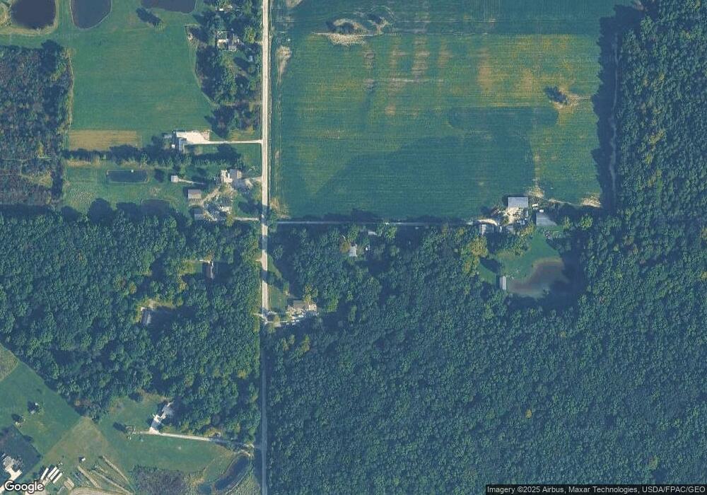
Map
Nearby Homes
- 2434 Taft Ave
- 0 Yale Rd Unit 5190725
- 3545 Porter Rd
- 8464 & 8446 Tallmadge Rd
- 8492 & 8476 Tallmadge Rd
- 3207 Prairie Cir
- 941 Porter Rd
- 3609 State Route 225
- 2639 Ohio 183
- 6747 Giddings Rd
- 00 Ohio 14
- 3798 State Route 183
- 0 Ohio 225 Unit 5174573
- 1731 Ohio 225
- 4133 State Route 225
- 700 Stillwater Dr
- 0 Wayland Rd Unit 5191883
- 9865 Tallmadge Rd
- 9672 Whippoorwill Rd
- 1071 State Route 14
- 2880 Alliance Rd
- 2947 Alliance Rd
- 2903 Alliance Rd
- v/l Alliance Rd
- 2933 Alliance Rd
- V/L Alliance Rd
- 2985 Alliance Rd
- 2961 Alliance Rd
- 3003 Alliance Rd
- 3064 Alliance Rd
- 2893 Alliance Rd
- 2851 Alliance Rd
- 3041 Alliance Rd
- 3036 Alliance Rd
- 3037 Alliance Rd
- 2759 Alliance Rd
- 3091 Alliance Rd
- 2750 State Route 14
- 3107 Alliance Rd
- 3130 Alliance Rd
Your Personal Tour Guide
Ask me questions while you tour the home.