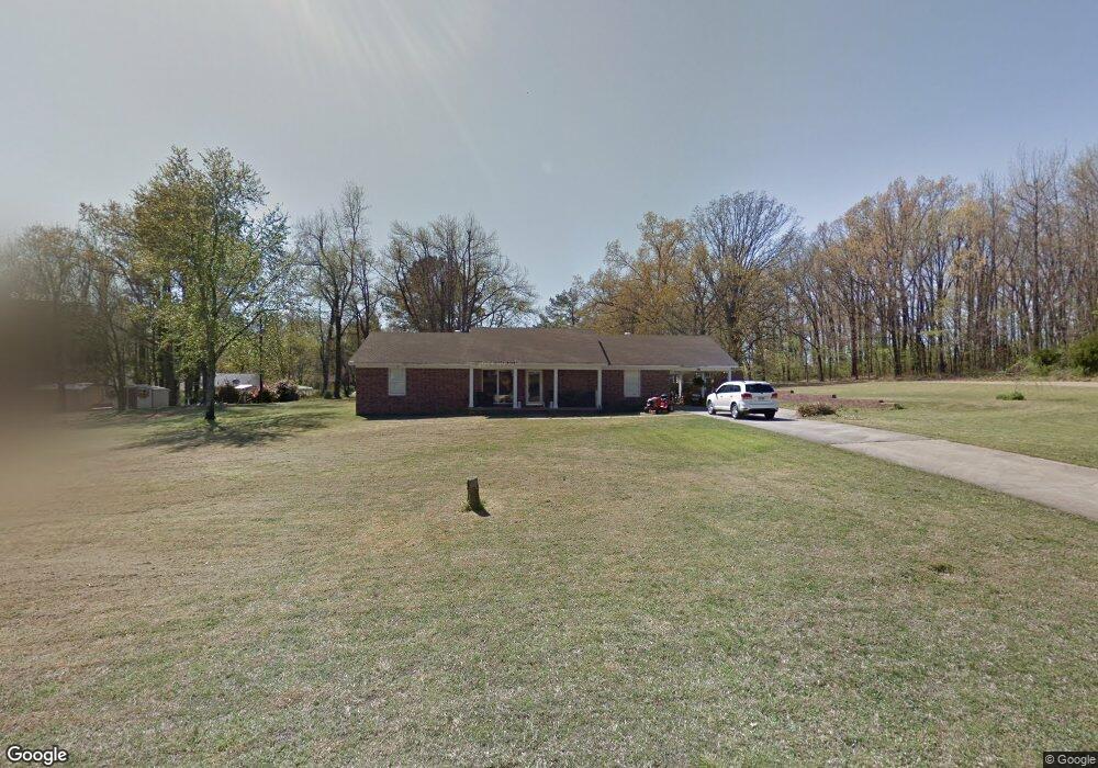
2914 Eagle Dr Jonesboro, AR 72401
Estimated Value: $197,910 - $276,000
--
Bed
2
Baths
1,920
Sq Ft
$128/Sq Ft
Est. Value
About This Home
This home is located at 2914 Eagle Dr, Jonesboro, AR 72401 and is currently estimated at $245,978, approximately $128 per square foot. 2914 Eagle Dr is a home located in Craighead County with nearby schools including Douglas Macarthur Junior High School and The Academies at Jonesboro High School.
Ownership History
Date
Name
Owned For
Owner Type
Purchase Details
Closed on
Apr 14, 2008
Sold by
Perkins Chantal
Bought by
Martin Ii Noble G
Current Estimated Value
Home Financials for this Owner
Home Financials are based on the most recent Mortgage that was taken out on this home.
Original Mortgage
$118,835
Outstanding Balance
$75,825
Interest Rate
6.11%
Mortgage Type
FHA
Estimated Equity
$170,153
Purchase Details
Closed on
May 26, 1992
Bought by
Gott
Purchase Details
Closed on
Oct 17, 1988
Bought by
Lumpkin
Create a Home Valuation Report for This Property
The Home Valuation Report is an in-depth analysis detailing your home's value as well as a comparison with similar homes in the area
Home Values in the Area
Average Home Value in this Area
Purchase History
| Date | Buyer | Sale Price | Title Company |
|---|---|---|---|
| Martin Ii Noble G | $121,000 | Lenders Title Company | |
| Gott | $66,000 | -- | |
| Lumpkin | $6,000 | -- |
Source: Public Records
Mortgage History
| Date | Status | Borrower | Loan Amount |
|---|---|---|---|
| Open | Martin Ii Noble G | $118,835 |
Source: Public Records
Tax History Compared to Growth
Tax History
| Year | Tax Paid | Tax Assessment Tax Assessment Total Assessment is a certain percentage of the fair market value that is determined by local assessors to be the total taxable value of land and additions on the property. | Land | Improvement |
|---|---|---|---|---|
| 2025 | $1,404 | $34,057 | $4,600 | $29,457 |
| 2024 | $1,404 | $34,057 | $4,600 | $29,457 |
| 2023 | $1,266 | $34,057 | $4,600 | $29,457 |
| 2022 | $1,160 | $34,057 | $4,600 | $29,457 |
| 2021 | $1,080 | $25,600 | $3,000 | $22,600 |
| 2020 | $1,080 | $25,600 | $3,000 | $22,600 |
| 2019 | $1,080 | $25,600 | $3,000 | $22,600 |
| 2018 | $1,080 | $25,600 | $3,000 | $22,600 |
| 2017 | $1,080 | $25,600 | $3,000 | $22,600 |
| 2016 | $993 | $23,520 | $3,000 | $20,520 |
| 2015 | $993 | $23,520 | $3,000 | $20,520 |
| 2014 | $993 | $23,520 | $3,000 | $20,520 |
Source: Public Records
Map
Nearby Homes
- 772 & 780 County Road 755
- 780 County Road 755
- 772 County Road 755
- 501 Foster Dr
- 809 Cr 714
- 280 County Road 714
- 2732 N Church St
- 180 County Road 700
- 1821 Magnolia Rd
- 2115 Mitzi Ln
- 200 Capitol Cove
- 201 Capitol Cove
- 2110 N Patrick St
- 205 Capitol Cove
- 13 Darlene Dr
- 2705 Keystone Dr
- 0 Greene 720 Unit 10125357
- 900 County Road 730
- 2917 Bennett Dr
- 2912 Eagle Dr
- 2915 Eagle Dr
- 0 Eagle Dr
- 2915 Bennett Dr
- 1216 Hawk Cove
- 2913 Eagle Dr
- Lots 1 and 2 Bobby G Bennett Subdivision
- 1220 Hawk Cove
- 2908 Eagle Dr
- 1219 Hawk Cove
- 2913 Bennett Dr
- 2918 Bennett Dr
- 2920 Bennett Dr
- 2916 Bennett Dr
- 3006 Bobbi Dawn Dr
- 3000 Bobbi Dawn Dr
- 726 E Philadelphia Rd
- 2922 Bennett Dr
- 2908 Bobbi Dawn