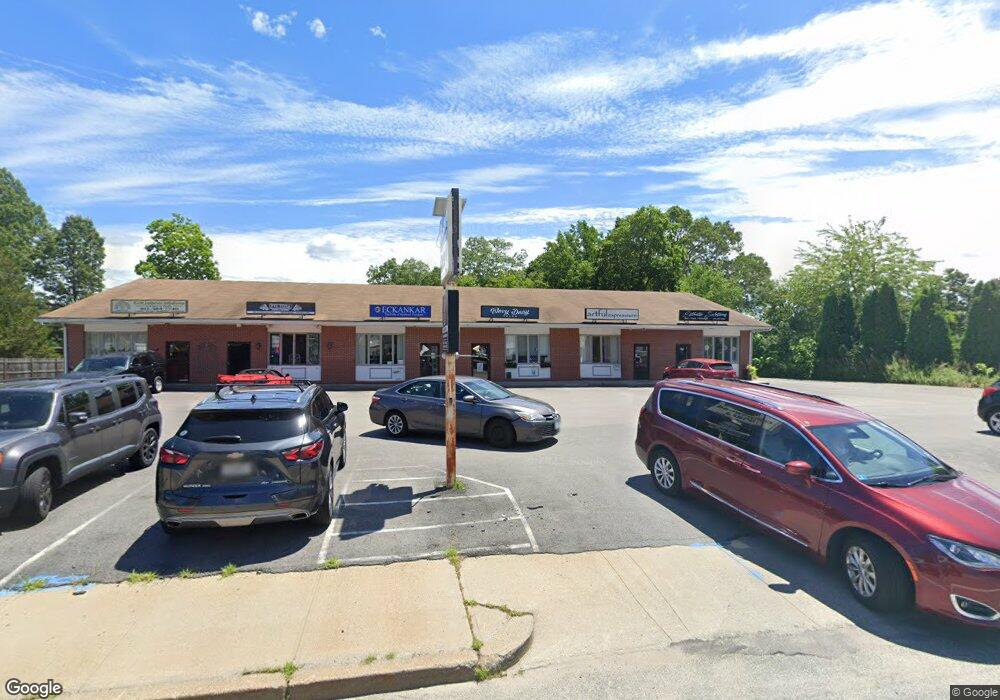
2914 Post Rd Unit 1 Warwick, RI 02886
Nausauket NeighborhoodEstimated Value: $1,083,390
Studio
--
Bath
6,000
Sq Ft
$181/Sq Ft
Est. Value
About This Home
This home is located at 2914 Post Rd Unit 1, Warwick, RI 02886 and is currently estimated at $1,083,390, approximately $180 per square foot. 2914 Post Rd Unit 1 is a home located in Kent County with nearby schools including St Rose Of Lima School and Eleanor Briggs School.
Ownership History
Date
Name
Owned For
Owner Type
Purchase Details
Closed on
Mar 29, 2019
Sold by
Eb Properties Inc
Bought by
Ktd Enterprises Llc Rt and Dang
Current Estimated Value
Purchase Details
Closed on
Jan 11, 1995
Sold by
Baziotis Eleftherios
Bought by
Baziotis Peter E
Home Financials for this Owner
Home Financials are based on the most recent Mortgage that was taken out on this home.
Original Mortgage
$195,000
Interest Rate
9.23%
Mortgage Type
Commercial
Create a Home Valuation Report for This Property
The Home Valuation Report is an in-depth analysis detailing your home's value as well as a comparison with similar homes in the area
Home Values in the Area
Average Home Value in this Area
Purchase History
| Date | Buyer | Sale Price | Title Company |
|---|---|---|---|
| Ktd Enterprises Llc Rt | $630,000 | -- | |
| Ktd Enterprises Llc Rt | $630,000 | -- | |
| Baziotis Peter E | $260,000 | -- | |
| Baziotis Peter E | $260,000 | -- |
Source: Public Records
Mortgage History
| Date | Status | Borrower | Loan Amount |
|---|---|---|---|
| Previous Owner | Baziotis Peter E | $350,000 | |
| Previous Owner | Baziotis Peter E | $195,000 |
Source: Public Records
Tax History
| Year | Tax Paid | Tax Assessment Tax Assessment Total Assessment is a certain percentage of the fair market value that is determined by local assessors to be the total taxable value of land and additions on the property. | Land | Improvement |
|---|---|---|---|---|
| 2025 | $13,312 | $554,900 | $139,700 | $415,200 |
| 2024 | $14,587 | $576,100 | $121,300 | $454,800 |
| 2023 | $14,305 | $576,100 | $121,300 | $454,800 |
| 2022 | $13,513 | $480,900 | $100,400 | $380,500 |
| 2021 | $13,513 | $480,900 | $100,400 | $380,500 |
| 2020 | $13,513 | $480,900 | $100,400 | $380,500 |
| 2019 | $13,513 | $480,900 | $100,400 | $380,500 |
| 2018 | $13,911 | $458,200 | $125,500 | $332,700 |
| 2017 | $13,911 | $458,200 | $125,500 | $332,700 |
| 2016 | $13,911 | $458,200 | $125,500 | $332,700 |
| 2015 | $14,282 | $458,800 | $130,500 | $328,300 |
| 2014 | $13,805 | $458,800 | $130,500 | $328,300 |
| 2013 | $13,617 | $458,800 | $130,500 | $328,300 |
Source: Public Records
Map
Nearby Homes
- 2907 Post Rd Unit 4
- 2907 Post Rd Unit 2
- 2907 Post Rd Unit 3
- 5 Barre Ct
- 157 George Arden Ave
- 84 Spruce St
- 45 Tourtelot Ave
- 3524 W Shore Rd Unit 215
- 27 Great Oak Dr
- 36 Great Oak Dr
- 233 Palace Ave
- 333 Greenwood Ave
- 3399 Post Rd Unit 15
- 74 Stephens Ave
- 6 Lillian Ct
- 143 Morse Ave
- 139 Lancaster Ave
- 52 Benefit St
- 86 Red Maple Ln
- 62 Red Maple Ln
Your Personal Tour Guide
Ask me questions while you tour the home.