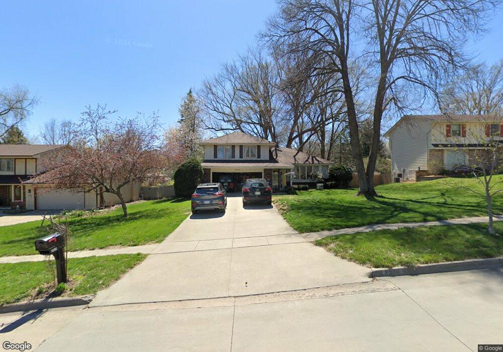
2914 Thornton Ave Des Moines, IA 50321
Southwestern Hills NeighborhoodEstimated Value: $313,000 - $357,000
3
Beds
3
Baths
1,642
Sq Ft
$204/Sq Ft
Est. Value
About This Home
This home is located at 2914 Thornton Ave, Des Moines, IA 50321 and is currently estimated at $334,279, approximately $203 per square foot. 2914 Thornton Ave is a home located in Polk County with nearby schools including Jefferson Elementary School, Brody Middle School, and Lincoln High School.
Ownership History
Date
Name
Owned For
Owner Type
Purchase Details
Closed on
Aug 9, 2024
Sold by
John Richard Martel Revocable Trust and Sorenson Jill E
Bought by
Jill E Sorenson Revocable Trust and Sorenson
Current Estimated Value
Purchase Details
Closed on
Sep 26, 2022
Sold by
Jill Martel J and Jill Eileen
Bought by
John Richard Martel Revocable Trust and Jill E Sorenson Revocable Trust
Create a Home Valuation Report for This Property
The Home Valuation Report is an in-depth analysis detailing your home's value as well as a comparison with similar homes in the area
Home Values in the Area
Average Home Value in this Area
Purchase History
| Date | Buyer | Sale Price | Title Company |
|---|---|---|---|
| Jill E Sorenson Revocable Trust | -- | None Listed On Document | |
| John Richard Martel Revocable Trust | -- | -- | |
| John Richard Martel Revocable Trust | -- | None Listed On Document |
Source: Public Records
Tax History Compared to Growth
Tax History
| Year | Tax Paid | Tax Assessment Tax Assessment Total Assessment is a certain percentage of the fair market value that is determined by local assessors to be the total taxable value of land and additions on the property. | Land | Improvement |
|---|---|---|---|---|
| 2025 | $5,170 | $302,000 | $59,200 | $242,800 |
| 2024 | $5,170 | $288,900 | $55,700 | $233,200 |
| 2023 | $5,044 | $288,900 | $55,700 | $233,200 |
| 2022 | $5,004 | $226,300 | $44,700 | $181,600 |
| 2021 | $5,056 | $226,300 | $44,700 | $181,600 |
| 2020 | $5,246 | $214,500 | $42,300 | $172,200 |
| 2019 | $4,854 | $214,500 | $42,300 | $172,200 |
| 2018 | $4,798 | $192,400 | $36,700 | $155,700 |
| 2017 | $4,322 | $192,400 | $36,700 | $155,700 |
| 2016 | $4,204 | $171,600 | $32,500 | $139,100 |
| 2015 | $4,204 | $171,600 | $32,500 | $139,100 |
| 2014 | $3,898 | $173,400 | $32,300 | $141,100 |
Source: Public Records
Map
Nearby Homes
- 3407 SW 31st St
- 2900 Caulder Ave
- 3500 SW 28th St
- 3200 Park Ave
- 3921 SW 29th St
- 2802 Park Ave
- 3619 SW 34th St
- 2614 Caulder Ave
- 3618 SW 34th St
- 3700 SW 34th Place
- 5815 Rose Cir
- 5821 Rose Cir
- 5817 Rose Cir
- 5822 Rose Cir
- 5813 Rose Cir
- 2822 Cheyenne Cir
- 3706 SW 36th St
- 3009 Fox Hollow Cir
- 3400 SW 37th St
- 4401 SW 29th St
- 2908 Thornton Ave
- 3000 Thornton Ave
- 3601 SW 30th St
- 3008 Thornton Ave
- 3526 SW 29th St
- 3607 SW 30th St
- 3608 SW 30th St
- 2915 Thornton Ave
- 3600 SW 29th St
- 2907 Thornton Ave
- 3001 Thornton Ave
- 3014 Thornton Ave
- 2901 Thornton Ave
- 3608 SW 29th St
- 3007 Thornton Ave
- 3615 SW 30th St
- 3614 SW 30th St
- 3015 Thornton Ave
- 3614 SW 29th St
- 2832 Thornton Ave