29143 SE Lusted Rd Gresham, OR 97080
Sandy River NeighborhoodEstimated Value: $750,000 - $884,000
4
Beds
2
Baths
2,098
Sq Ft
$394/Sq Ft
Est. Value
About This Home
This home is located at 29143 SE Lusted Rd, Gresham, OR 97080 and is currently estimated at $826,136, approximately $393 per square foot. 29143 SE Lusted Rd is a home located in Multnomah County with nearby schools including Powell Valley Elementary School, Gordon Russell Middle School, and Sam Barlow High School.
Ownership History
Date
Name
Owned For
Owner Type
Purchase Details
Closed on
Aug 25, 2015
Sold by
Mueller John S
Bought by
Donald Peter S and Donald Valerie E
Current Estimated Value
Home Financials for this Owner
Home Financials are based on the most recent Mortgage that was taken out on this home.
Original Mortgage
$385,000
Interest Rate
3.86%
Mortgage Type
New Conventional
Purchase Details
Closed on
Aug 11, 2005
Sold by
Mueller Martin C and Mueller Marian Lee
Bought by
Mueller Martin C and Martin C Mueller Trust
Create a Home Valuation Report for This Property
The Home Valuation Report is an in-depth analysis detailing your home's value as well as a comparison with similar homes in the area
Home Values in the Area
Average Home Value in this Area
Purchase History
| Date | Buyer | Sale Price | Title Company |
|---|---|---|---|
| Donald Peter S | $550,000 | First American | |
| Mueller Martin C | -- | -- |
Source: Public Records
Mortgage History
| Date | Status | Borrower | Loan Amount |
|---|---|---|---|
| Previous Owner | Donald Peter S | $385,000 |
Source: Public Records
Tax History
| Year | Tax Paid | Tax Assessment Tax Assessment Total Assessment is a certain percentage of the fair market value that is determined by local assessors to be the total taxable value of land and additions on the property. | Land | Improvement |
|---|---|---|---|---|
| 2025 | $9,181 | $483,070 | -- | -- |
| 2024 | $8,777 | $469,000 | -- | -- |
| 2023 | $8,584 | $455,340 | $0 | $0 |
| 2022 | $8,366 | $442,080 | $0 | $0 |
| 2021 | $8,140 | $429,210 | $0 | $0 |
| 2020 | $7,660 | $416,710 | $0 | $0 |
| 2019 | $7,467 | $404,580 | $0 | $0 |
| 2018 | $7,118 | $392,800 | $0 | $0 |
| 2017 | $6,840 | $381,360 | $0 | $0 |
| 2016 | $6,033 | $370,260 | $0 | $0 |
Source: Public Records
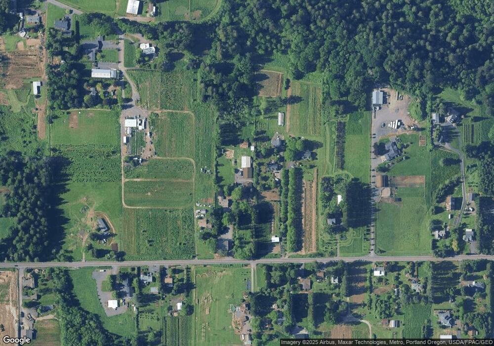
Map
Nearby Homes
- 6247 SE 15th St
- 6192 SE 15th St
- 6184 SE 15th St
- 6166 SE 15th St
- 6195 SE 16th St
- 6187 SE 16th St
- 6171 SE 16th St
- 1490 SE Pheasant Ave
- 6115 SE 16th St
- 6144 SE 16th St
- 6109 SE 16th St
- 6130 SE 16th St
- 6118 SE 16th St
- 6112 SE 16th St
- 6106 SE 16th St
- 6443 SE 22nd St
- 6421 SE 22nd St
- 5856 SE Woodland Dr
- 5827 SE 16th Loop
- 2766 SE Teal Ave
- 29217 SE Lusted Rd
- 29119 SE Lusted Rd
- 29219 SE Lusted Rd
- 29101 SE Lusted Rd
- 29345 SE Lusted Rd
- 28950 SE Kw Anderson Rd
- 29302 SE Lusted Rd
- 29014 SE Lusted Rd
- 29146 SE Lusted Rd
- 29312 SE Lusted Rd
- 29132 SE Lusted Rd
- 29312 SE Lusted Rd
- 29433 SE Lusted Rd
- 28944 SE Lusted Rd
- 28980 SE K W Anderson Rd
- 29220 SE Lusted Rd
- 28930 SE Lusted Rd
- 29430 SE Lusted Rd
- 28910 SE K W Anderson Rd
- 28925 SE Kw Anderson Rd
Your Personal Tour Guide
Ask me questions while you tour the home.