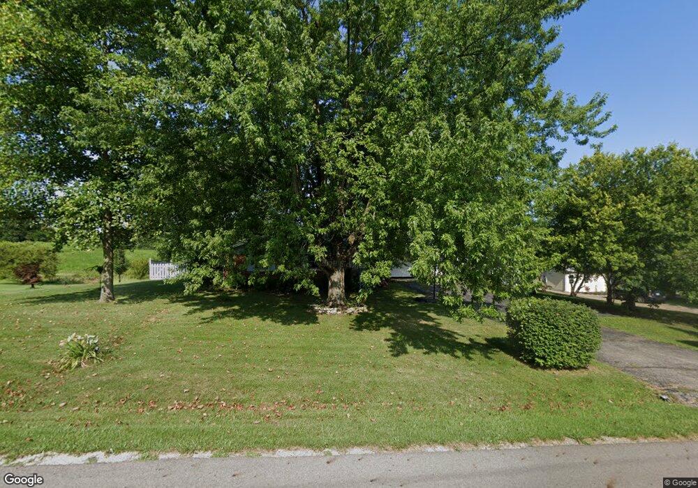
2915 Arthur Rd Springfield, OH 45502
Estimated Value: $255,829 - $311,000
3
Beds
2
Baths
1,515
Sq Ft
$180/Sq Ft
Est. Value
About This Home
This home is located at 2915 Arthur Rd, Springfield, OH 45502 and is currently estimated at $272,707, approximately $180 per square foot. 2915 Arthur Rd is a home located in Clark County with nearby schools including Greenon Elementary School, Greenon Jr. High School, and Greenon High School.
Ownership History
Date
Name
Owned For
Owner Type
Purchase Details
Closed on
Apr 27, 2022
Sold by
Southward and Renee
Bought by
Southward Steven and Southward Renee
Current Estimated Value
Home Financials for this Owner
Home Financials are based on the most recent Mortgage that was taken out on this home.
Original Mortgage
$134,400
Interest Rate
4.67%
Mortgage Type
New Conventional
Purchase Details
Closed on
Aug 3, 1994
Sold by
Allen Daniel L
Bought by
Carter Norman H and Carter Carol
Home Financials for this Owner
Home Financials are based on the most recent Mortgage that was taken out on this home.
Original Mortgage
$67,500
Interest Rate
8.53%
Mortgage Type
New Conventional
Create a Home Valuation Report for This Property
The Home Valuation Report is an in-depth analysis detailing your home's value as well as a comparison with similar homes in the area
Purchase History
| Date | Buyer | Sale Price | Title Company |
|---|---|---|---|
| Southward Steven | -- | Richardson Ira A | |
| Carter Norman H | $107,500 | -- |
Source: Public Records
Mortgage History
| Date | Status | Borrower | Loan Amount |
|---|---|---|---|
| Previous Owner | Southward Steven | $134,400 | |
| Previous Owner | Carter Norman H | $67,500 |
Source: Public Records
Tax History
| Year | Tax Paid | Tax Assessment Tax Assessment Total Assessment is a certain percentage of the fair market value that is determined by local assessors to be the total taxable value of land and additions on the property. | Land | Improvement |
|---|---|---|---|---|
| 2025 | $3,373 | $78,550 | $14,520 | $64,030 |
| 2024 | $3,364 | $62,960 | $13,100 | $49,860 |
| 2023 | $3,364 | $62,960 | $13,100 | $49,860 |
| 2022 | $3,361 | $62,960 | $13,100 | $49,860 |
| 2021 | $2,189 | $45,880 | $9,490 | $36,390 |
| 2020 | $2,195 | $45,880 | $9,490 | $36,390 |
| 2019 | $2,224 | $45,880 | $9,490 | $36,390 |
| 2018 | $1,841 | $38,810 | $8,700 | $30,110 |
| 2017 | $1,845 | $38,808 | $8,701 | $30,107 |
| 2016 | $1,608 | $38,808 | $8,701 | $30,107 |
| 2015 | $1,449 | $34,860 | $7,910 | $26,950 |
| 2014 | $1,452 | $34,860 | $7,910 | $26,950 |
| 2013 | $1,277 | $34,860 | $7,910 | $26,950 |
Source: Public Records
Map
Nearby Homes
- 1290 Red Oaks Cir
- 124 Old Mill Rd
- 0 Upper Valley Pike
- 1515 W Perrin Ave
- 2301 Duquesne Dr
- 190 Oakridge Dr
- 3721 W National Rd
- 1109 Montgomery Ave
- 3190 Rebert Pike
- 0 Montgomery Ave
- 1618 W Pleasant St
- 3891 New Carlisle Pike
- 361 Upper Valley Pike
- 624 Aberfelda Dr
- 4311 Lone Wolf Ave
- 22 Seever St
- 323 Saint Paul Ave
- 3183 Lower Valley Pike
- 1230 W Pleasant St
- 929 S Western Ave