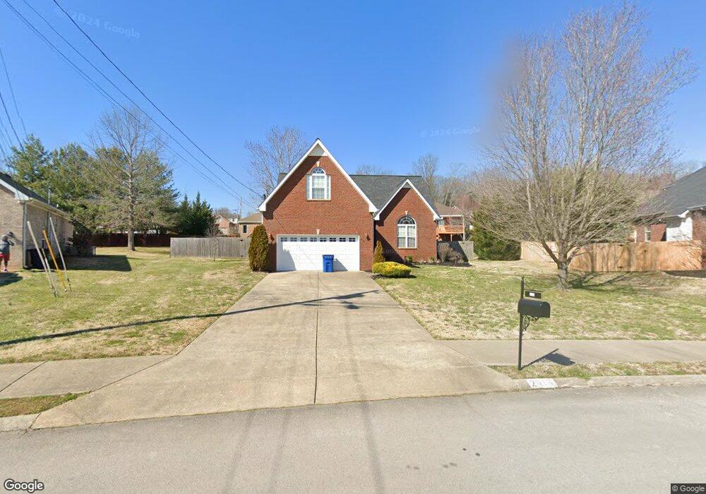
2915 Iona Dr Smyrna, TN 37167
Estimated Value: $426,300 - $502,000
--
Bed
3
Baths
2,558
Sq Ft
$186/Sq Ft
Est. Value
About This Home
This home is located at 2915 Iona Dr, Smyrna, TN 37167 and is currently estimated at $475,575, approximately $185 per square foot. 2915 Iona Dr is a home located in Rutherford County with nearby schools including Rock Springs Elementary School, Rock Springs Middle School, and Stewarts Creek High School.
Ownership History
Date
Name
Owned For
Owner Type
Purchase Details
Closed on
Dec 19, 2013
Sold by
Doersam Bryan
Bought by
Doersam Jennifer
Current Estimated Value
Purchase Details
Closed on
Jun 30, 2008
Sold by
Barlowe John S
Bought by
Bryan Doersam
Home Financials for this Owner
Home Financials are based on the most recent Mortgage that was taken out on this home.
Original Mortgage
$207,570
Interest Rate
6.08%
Mortgage Type
VA
Purchase Details
Closed on
Mar 5, 2001
Sold by
Prince Properties
Bought by
Barlowe John S and Barlowe Terri O
Create a Home Valuation Report for This Property
The Home Valuation Report is an in-depth analysis detailing your home's value as well as a comparison with similar homes in the area
Home Values in the Area
Average Home Value in this Area
Purchase History
| Date | Buyer | Sale Price | Title Company |
|---|---|---|---|
| Doersam Jennifer | -- | -- | |
| Bryan Doersam | $219,900 | -- | |
| Barlowe John S | $160,400 | -- |
Source: Public Records
Mortgage History
| Date | Status | Borrower | Loan Amount |
|---|---|---|---|
| Previous Owner | Barlowe John S | $207,570 |
Source: Public Records
Tax History Compared to Growth
Tax History
| Year | Tax Paid | Tax Assessment Tax Assessment Total Assessment is a certain percentage of the fair market value that is determined by local assessors to be the total taxable value of land and additions on the property. | Land | Improvement |
|---|---|---|---|---|
| 2025 | $2,265 | $94,300 | $13,750 | $80,550 |
| 2024 | $2,265 | $94,300 | $13,750 | $80,550 |
| 2023 | $2,265 | $94,300 | $13,750 | $80,550 |
| 2022 | $2,020 | $94,300 | $13,750 | $80,550 |
| 2021 | $2,037 | $69,750 | $13,750 | $56,000 |
| 2020 | $2,037 | $69,750 | $13,750 | $56,000 |
| 2019 | $2,037 | $69,750 | $13,750 | $56,000 |
| 2018 | $1,953 | $69,750 | $0 | $0 |
| 2017 | $1,797 | $50,400 | $0 | $0 |
| 2016 | $1,797 | $50,400 | $0 | $0 |
| 2015 | $1,797 | $50,400 | $0 | $0 |
| 2014 | $1,253 | $50,400 | $0 | $0 |
| 2013 | -- | $50,800 | $0 | $0 |
Source: Public Records
Map
Nearby Homes
- 5024 Mary Ellen Cir
- STONEBROOK II Plan at Pottsview
- MILFORD A Plan at Pottsview
- HAYDEN Plan at Pottsview
- SALEM Plan at Pottsview
- 3704 Henricks Hill Dr
- 6009 Inglenook Dr
- 4009 Maggie Ct
- 1011 Lily Ann Ct
- 649 Woodburn Dr
- 382 Clarkston Dr
- 9005 Phoenix Ct
- 269 Cornice Dr
- 262 Cornice Dr
- 11012 Sligo Ct
- 8039 Burntwood Dr
- 261 Cornice Dr
- 8054 Vineyard Ln
- 466 Blair Rd
- 464 Blair Rd