2915 Meade Rd Allegan, MI 49010
Estimated Value: $396,000 - $813,000
2
Beds
1
Bath
1,083
Sq Ft
$520/Sq Ft
Est. Value
About This Home
This home is located at 2915 Meade Rd, Allegan, MI 49010 and is currently estimated at $563,205, approximately $520 per square foot. 2915 Meade Rd is a home located in Allegan County with nearby schools including North Ward Elementary School, L.E. White Middle School, and Allegan High School.
Ownership History
Date
Name
Owned For
Owner Type
Purchase Details
Closed on
Jul 23, 2018
Sold by
Penrod Michelle Jean and Penrod Kevin Howard
Bought by
Penrod Michelle Jean and Penrod Kevin Howard
Current Estimated Value
Purchase Details
Closed on
May 30, 2008
Sold by
Temple Shelly and Deneff Shelly
Bought by
Penrod Kevin H and Penrod Michelle J
Home Financials for this Owner
Home Financials are based on the most recent Mortgage that was taken out on this home.
Original Mortgage
$118,146
Outstanding Balance
$75,659
Interest Rate
6.01%
Mortgage Type
FHA
Estimated Equity
$487,546
Create a Home Valuation Report for This Property
The Home Valuation Report is an in-depth analysis detailing your home's value as well as a comparison with similar homes in the area
Home Values in the Area
Average Home Value in this Area
Purchase History
| Date | Buyer | Sale Price | Title Company |
|---|---|---|---|
| Penrod Michelle Jean | -- | None Available | |
| Penrod Kevin H | $120,000 | Chicago Title |
Source: Public Records
Mortgage History
| Date | Status | Borrower | Loan Amount |
|---|---|---|---|
| Open | Penrod Kevin H | $118,146 |
Source: Public Records
Tax History Compared to Growth
Tax History
| Year | Tax Paid | Tax Assessment Tax Assessment Total Assessment is a certain percentage of the fair market value that is determined by local assessors to be the total taxable value of land and additions on the property. | Land | Improvement |
|---|---|---|---|---|
| 2025 | $4,311 | $262,900 | $107,600 | $155,300 |
| 2024 | $3,917 | $229,900 | $88,000 | $141,900 |
| 2023 | $3,917 | $229,100 | $98,800 | $130,300 |
| 2022 | $3,917 | $208,400 | $97,800 | $110,600 |
| 2021 | $3,642 | $183,900 | $86,600 | $97,300 |
| 2020 | $3,642 | $177,600 | $84,100 | $93,500 |
| 2019 | $0 | $172,800 | $86,100 | $86,700 |
| 2018 | $0 | $164,100 | $88,000 | $76,100 |
| 2017 | $0 | $157,000 | $78,300 | $78,700 |
| 2016 | $0 | $113,700 | $53,800 | $59,900 |
| 2015 | -- | $113,700 | $53,800 | $59,900 |
| 2014 | -- | $102,800 | $48,900 | $53,900 |
| 2013 | -- | $71,000 | $44,800 | $26,200 |
Source: Public Records
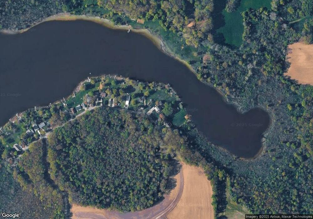
Map
Nearby Homes
- 2859 125th Ave
- 3189 125th Ave
- 3127 127th Ave
- 3310 Dumont Lake Dr
- 000 Vl Lake Dr Lot 174 175
- 2529 Miner Lake Dr
- 2707 118th Ave
- 3469 Oak Branch Ct
- 2236 35th St
- 3380 Babylon Rd
- 3216 Signal Point Dr
- 3212 Signal Point Dr
- 1837 34th St
- 1825 34th St
- 1872 Edson Unit 6
- 104 Ida St
- 1694 Westview Dr Unit 17
- VL Weeks St
- VL North St
- 2303 38th St