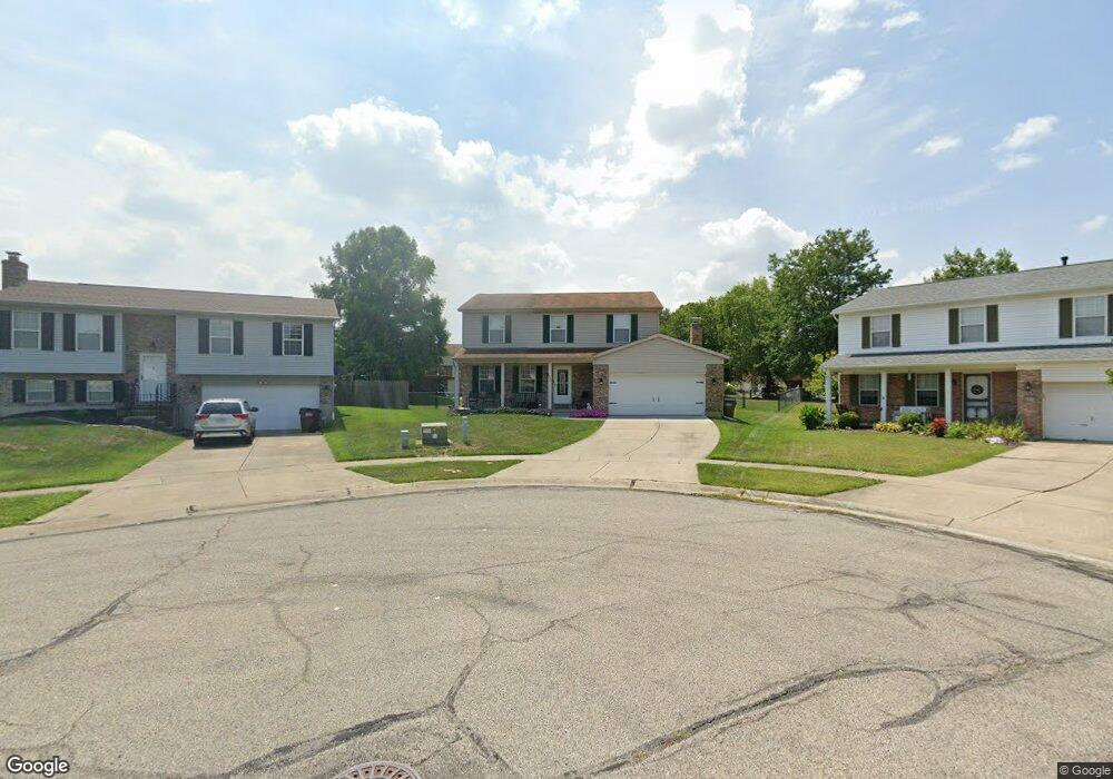
2915 Michaels Run Cincinnati, OH 45251
Estimated Value: $313,000 - $346,000
4
Beds
3
Baths
2,064
Sq Ft
$159/Sq Ft
Est. Value
About This Home
This home is located at 2915 Michaels Run, Cincinnati, OH 45251 and is currently estimated at $327,459, approximately $158 per square foot. 2915 Michaels Run is a home located in Hamilton County with nearby schools including Colerain Elementary School, Colerain Middle School, and Colerain High School.
Ownership History
Date
Name
Owned For
Owner Type
Purchase Details
Closed on
Oct 7, 1993
Sold by
American Country Homes Inc
Bought by
Cocola Joseph G and Cocola Paula J
Current Estimated Value
Home Financials for this Owner
Home Financials are based on the most recent Mortgage that was taken out on this home.
Original Mortgage
$114,300
Interest Rate
7%
Create a Home Valuation Report for This Property
The Home Valuation Report is an in-depth analysis detailing your home's value as well as a comparison with similar homes in the area
Home Values in the Area
Average Home Value in this Area
Purchase History
| Date | Buyer | Sale Price | Title Company |
|---|---|---|---|
| Cocola Joseph G | -- | L & D Title Agency Inc |
Source: Public Records
Mortgage History
| Date | Status | Borrower | Loan Amount |
|---|---|---|---|
| Previous Owner | Cocola Joseph G | $114,300 |
Source: Public Records
Tax History
| Year | Tax Paid | Tax Assessment Tax Assessment Total Assessment is a certain percentage of the fair market value that is determined by local assessors to be the total taxable value of land and additions on the property. | Land | Improvement |
|---|---|---|---|---|
| 2025 | $5,485 | $95,277 | $13,370 | $81,907 |
| 2023 | $5,116 | $95,277 | $13,370 | $81,907 |
| 2022 | $4,941 | $75,065 | $11,589 | $63,476 |
| 2021 | $4,777 | $73,214 | $11,589 | $61,625 |
| 2020 | $4,828 | $73,214 | $11,589 | $61,625 |
| 2019 | $4,172 | $59,042 | $9,345 | $49,697 |
| 2018 | $3,742 | $59,042 | $9,345 | $49,697 |
| 2017 | $3,545 | $59,042 | $9,345 | $49,697 |
| 2016 | $3,512 | $57,736 | $9,310 | $48,426 |
| 2015 | $3,546 | $57,736 | $9,310 | $48,426 |
| 2014 | $3,552 | $57,736 | $9,310 | $48,426 |
| 2013 | $3,558 | $60,774 | $9,800 | $50,974 |
Source: Public Records
Map
Nearby Homes
- 2896 Regal Ln
- 3069 Sovereign Dr
- 2787 Rylan Dr
- 8545 Noelle Dr
- 8628 Paisley Dr
- Rockford Plan at North Ridge
- Dallas Plan at North Ridge
- 8417 Royal Heights Dr
- 8949 Pippin Rd
- 2655 Barthas Place
- 8265 Haskell Dr
- 2750 W Galbraith Rd
- 9103 Zoellner Rd
- 2807 W Galbraith Rd
- 2714 Compton Rd
- 9161 Trelawney Ct
- 8729 Morningstar Ln
- 2922 Royal Glen Dr
- 7864 Sequoia Ct
- 2983 Aries Ct
- 2919 Michaels Run
- 2911 Michaels Run
- 2922 Sovereign Dr
- 2936 Sovereign Dr
- 2961 Gregory Ct
- 2910 Sovereign Dr
- 2948 Sovereign Dr
- 2923 Michaels Run
- 2897 Michaels Run
- 2896 Sovereign Dr
- 2962 Sovereign Dr
- 2965 Gregory Ct
- 2937 Michaels Run
- 2883 Michaels Run
- 2900 Michaels Run
- 2964 Gregory Ct
- 2882 Sovereign Dr
- 2976 Sovereign Dr
- 2949 Michaels Run
- 2886 Michaels Run
Your Personal Tour Guide
Ask me questions while you tour the home.