2915 Mittman Rd Muscatine, IA 52761
Estimated Value: $170,000 - $214,922
2
Beds
1
Bath
1,596
Sq Ft
$125/Sq Ft
Est. Value
About This Home
This home is located at 2915 Mittman Rd, Muscatine, IA 52761 and is currently estimated at $200,231, approximately $125 per square foot. 2915 Mittman Rd is a home located in Muscatine County with nearby schools including Muskie Early Learning Center, Franklin Elementary School, and Susan Clark Junior High School.
Ownership History
Date
Name
Owned For
Owner Type
Purchase Details
Closed on
Jun 8, 2010
Sold by
Hagens Ronald G and Hagens Patricia R
Bought by
Edwards Marci J and Edwards Billy M
Current Estimated Value
Home Financials for this Owner
Home Financials are based on the most recent Mortgage that was taken out on this home.
Original Mortgage
$137,645
Outstanding Balance
$94,615
Interest Rate
5.5%
Mortgage Type
FHA
Estimated Equity
$105,616
Create a Home Valuation Report for This Property
The Home Valuation Report is an in-depth analysis detailing your home's value as well as a comparison with similar homes in the area
Home Values in the Area
Average Home Value in this Area
Purchase History
| Date | Buyer | Sale Price | Title Company |
|---|---|---|---|
| Edwards Marci J | $139,500 | None Available |
Source: Public Records
Mortgage History
| Date | Status | Borrower | Loan Amount |
|---|---|---|---|
| Open | Edwards Marci J | $137,645 |
Source: Public Records
Tax History Compared to Growth
Tax History
| Year | Tax Paid | Tax Assessment Tax Assessment Total Assessment is a certain percentage of the fair market value that is determined by local assessors to be the total taxable value of land and additions on the property. | Land | Improvement |
|---|---|---|---|---|
| 2025 | $2,982 | $184,050 | $38,740 | $145,310 |
| 2024 | $2,982 | $174,660 | $38,740 | $135,920 |
| 2023 | $74 | $177,613 | $38,838 | $138,775 |
| 2022 | $3,492 | $181,510 | $36,640 | $144,870 |
| 2021 | $3,467 | $154,580 | $36,640 | $117,940 |
| 2020 | $4,320 | $154,580 | $36,640 | $117,940 |
| 2019 | $2,772 | $0 | $0 | $0 |
| 2018 | $2,726 | $0 | $0 | $0 |
| 2017 | $2,880 | $134,080 | $0 | $0 |
| 2016 | $2,834 | $134,080 | $0 | $0 |
| 2015 | $2,834 | $134,560 | $0 | $0 |
| 2014 | $2,866 | $134,560 | $0 | $0 |
Source: Public Records
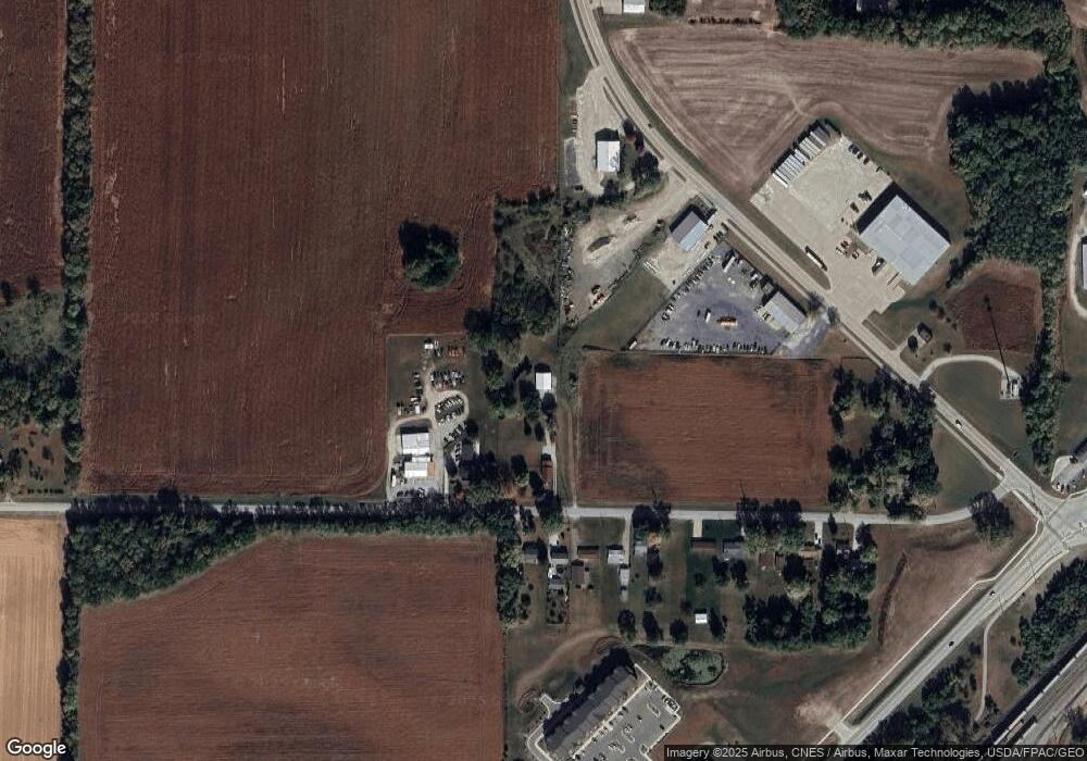
Map
Nearby Homes
- 1718 Miles Ave
- 1708 Schley Ave
- 2216 New Hampshire St
- 219 Pond St
- 0 S Highway 61
- 3250 S Highway 61
- 111 Gilbert St
- LOTS 30-34 Evans St
- 1903 Hershey Ave
- 1827 Hershey Ave
- 0 Towhead Island Unit 23-716
- 208 Fletcher Ave
- 0 Parcel 1302108019 (Busch St)
- 404 Busch St
- 1603 Lucas St
- 809 W 2nd St
- 904 W 8th St
- LOT 17 Briman Prairie
- LOT 6 Pine Ridge
- LOT 4 Pine Ridge
- 3007 Mittman Rd
- 2918 Mittman Rd
- 2910 Mittman Rd
- 2810 Mittman Rd
- 2722 Mittman Rd
- 2804 Mittman Rd
- 2712 Mittman Rd
- 2706 Mittman Rd
- 2620 Mittman Rd
- 1925 Grandview Ave
- 1925 Grandview Ave
- 2614 Mittman Rd
- 1500 S Houser St
- 2608 Mittman Rd
- 1919 Grandview Ave
- 2603 Mittman Rd
- 2003 Grandview Ave
- 2007 Grandview Ave
- 2456 Sampson St
- 3315 Mittman Rd