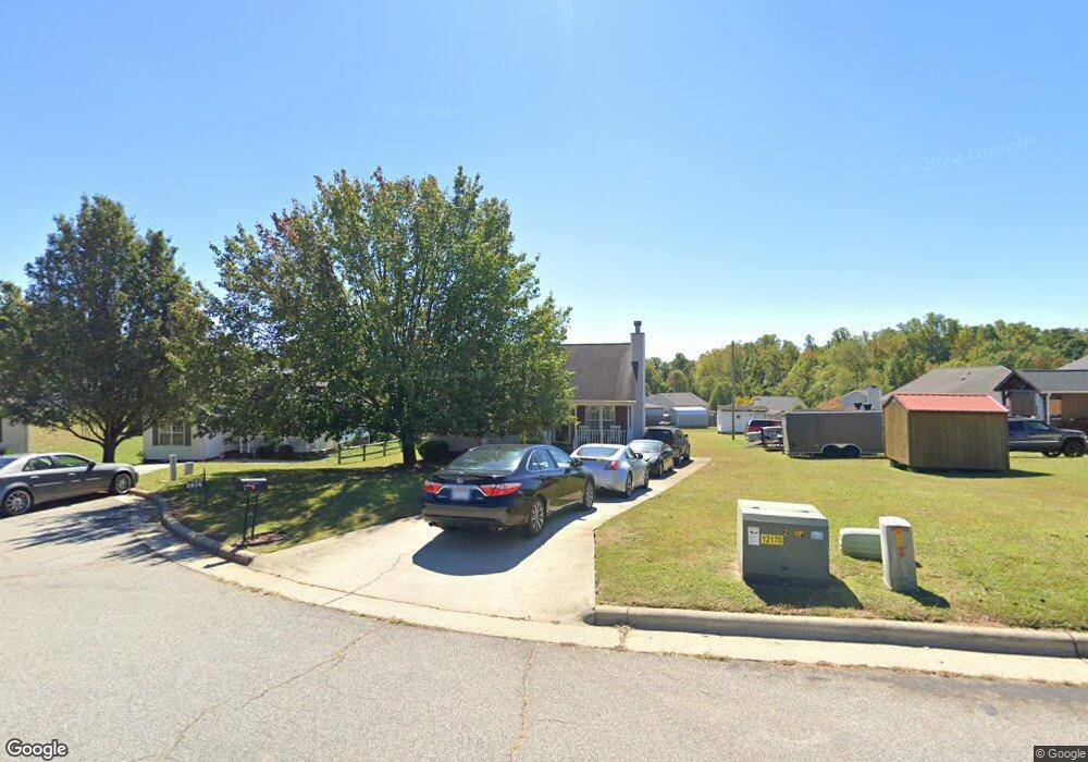
2916 Station Ct High Point, NC 27260
Greater High Point NeighborhoodEstimated Value: $164,000 - $233,000
3
Beds
2
Baths
1,106
Sq Ft
$179/Sq Ft
Est. Value
About This Home
This home is located at 2916 Station Ct, High Point, NC 27260 and is currently estimated at $198,413, approximately $179 per square foot. 2916 Station Ct is a home located in Guilford County with nearby schools including Union Hill Elementary School, Jamestown Middle School, and Ragsdale High School.
Ownership History
Date
Name
Owned For
Owner Type
Purchase Details
Closed on
Jun 9, 2000
Sold by
First Choice Services Inc
Bought by
Whitsett Devona
Current Estimated Value
Home Financials for this Owner
Home Financials are based on the most recent Mortgage that was taken out on this home.
Original Mortgage
$85,532
Outstanding Balance
$29,917
Interest Rate
8.11%
Mortgage Type
FHA
Estimated Equity
$168,496
Create a Home Valuation Report for This Property
The Home Valuation Report is an in-depth analysis detailing your home's value as well as a comparison with similar homes in the area
Home Values in the Area
Average Home Value in this Area
Purchase History
| Date | Buyer | Sale Price | Title Company |
|---|---|---|---|
| Whitsett Devona | $86,000 | -- |
Source: Public Records
Mortgage History
| Date | Status | Borrower | Loan Amount |
|---|---|---|---|
| Open | Whitsett Devona | $85,532 |
Source: Public Records
Tax History
| Year | Tax Paid | Tax Assessment Tax Assessment Total Assessment is a certain percentage of the fair market value that is determined by local assessors to be the total taxable value of land and additions on the property. | Land | Improvement |
|---|---|---|---|---|
| 2025 | $1,634 | $118,600 | $22,000 | $96,600 |
| 2024 | $1,634 | $118,600 | $22,000 | $96,600 |
| 2023 | $1,634 | $118,600 | $22,000 | $96,600 |
| 2022 | $1,599 | $118,600 | $22,000 | $96,600 |
| 2021 | $1,138 | $82,600 | $11,000 | $71,600 |
| 2020 | $1,138 | $82,600 | $11,000 | $71,600 |
| 2019 | $1,138 | $82,600 | $0 | $0 |
| 2018 | $1,133 | $82,600 | $0 | $0 |
| 2017 | $1,138 | $82,600 | $0 | $0 |
| 2016 | $1,191 | $84,900 | $0 | $0 |
| 2015 | $1,197 | $84,900 | $0 | $0 |
| 2014 | $1,217 | $84,900 | $0 | $0 |
Source: Public Records
Map
Nearby Homes
- 210 Paramount St
- 2715 Central Ave
- 928 Marlboro St
- 930 & 928 R1 Marlboro St
- 709 Habersham Rd
- 404 Hickory Chapel Rd
- 3304 Central Ave
- 3003 #REAR Oakcrest Ave
- 627 Spring Garden Cir
- 2305 Delaware Place
- 206 Paramount St
- 737 Hendrix St
- 3215 E Martin Luther King Junior Dr
- 735 Hendrix St
- 430 New St
- 1900-1922 Baker Rd
- 2317 Purdy Ave
- 1908 Leonard Ave
- 615 Hendrix St
- 1111 Winslow St
- 2918 Station Ct
- 821 Central Ct
- 819 Central Ct
- 2920 Station Ct
- 817 Central Ct
- 823 Central Ct
- 2929 Median Ct
- 2927 Median Ct
- 2931 Median Ct
- 2925 Median Ct
- 813 Central Ct
- 620 Paramount St
- 2921 Station Ct
- 2917 Station Ct
- 825 Central Ct
- 624 Paramount St
- 2923 Median Ct
- 628 Paramount St
- 616 Paramount St
- 811 Central Ct
Your Personal Tour Guide
Ask me questions while you tour the home.