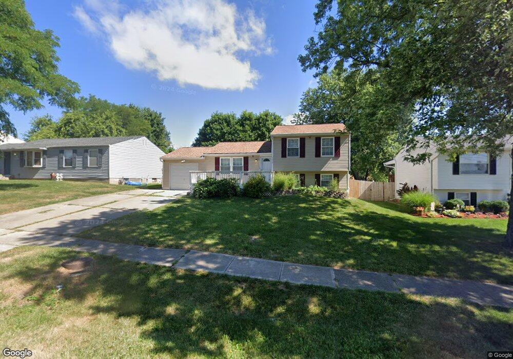
2916 Stout Rd Cincinnati, OH 45251
Northgate NeighborhoodEstimated Value: $192,000 - $226,000
3
Beds
2
Baths
1,368
Sq Ft
$152/Sq Ft
Est. Value
About This Home
This home is located at 2916 Stout Rd, Cincinnati, OH 45251 and is currently estimated at $207,712, approximately $151 per square foot. 2916 Stout Rd is a home located in Hamilton County with nearby schools including Pleasant Run Elementary School, Taylor Elementary School, and Pleasant Run Middle School.
Ownership History
Date
Name
Owned For
Owner Type
Purchase Details
Closed on
Nov 8, 2000
Sold by
Davis Dwayne M and Davis Angela M
Bought by
Vankirk Janell A and Vankirk Jerry D
Current Estimated Value
Home Financials for this Owner
Home Financials are based on the most recent Mortgage that was taken out on this home.
Original Mortgage
$101,400
Outstanding Balance
$37,337
Interest Rate
7.87%
Mortgage Type
FHA
Estimated Equity
$170,375
Purchase Details
Closed on
Jan 30, 1998
Sold by
Caldwell Joanne M and Caldwell Phillip
Bought by
Davis Dwayne M and Preston Angela M
Home Financials for this Owner
Home Financials are based on the most recent Mortgage that was taken out on this home.
Original Mortgage
$91,411
Interest Rate
7.08%
Mortgage Type
FHA
Create a Home Valuation Report for This Property
The Home Valuation Report is an in-depth analysis detailing your home's value as well as a comparison with similar homes in the area
Home Values in the Area
Average Home Value in this Area
Purchase History
| Date | Buyer | Sale Price | Title Company |
|---|---|---|---|
| Vankirk Janell A | $101,500 | -- | |
| Davis Dwayne M | $91,500 | -- |
Source: Public Records
Mortgage History
| Date | Status | Borrower | Loan Amount |
|---|---|---|---|
| Open | Vankirk Janell A | $101,400 | |
| Closed | Davis Dwayne M | $91,411 |
Source: Public Records
Tax History Compared to Growth
Tax History
| Year | Tax Paid | Tax Assessment Tax Assessment Total Assessment is a certain percentage of the fair market value that is determined by local assessors to be the total taxable value of land and additions on the property. | Land | Improvement |
|---|---|---|---|---|
| 2024 | $2,295 | $42,816 | $8,505 | $34,311 |
| 2023 | $2,309 | $42,816 | $8,505 | $34,311 |
| 2022 | $1,925 | $29,089 | $7,501 | $21,588 |
| 2021 | $1,910 | $29,089 | $7,501 | $21,588 |
| 2020 | $2,017 | $29,089 | $7,501 | $21,588 |
| 2019 | $1,756 | $23,457 | $6,048 | $17,409 |
| 2018 | $1,585 | $23,457 | $6,048 | $17,409 |
| 2017 | $1,420 | $23,457 | $6,048 | $17,409 |
| 2016 | $1,542 | $25,193 | $6,104 | $19,089 |
| 2015 | $1,557 | $25,193 | $6,104 | $19,089 |
| 2014 | $1,560 | $25,193 | $6,104 | $19,089 |
| 2013 | $1,563 | $26,520 | $6,426 | $20,094 |
Source: Public Records
Map
Nearby Homes
- 2845 Wilson Ave
- 2882 Wilson Ave
- 2696 Washington Ave
- 10762 Pippin Rd
- 2530 Lincoln Ave
- 10528 Pottinger Rd
- 2508 Wilson Ave
- 2465 Wilson Ave
- 2717 Merrittview Ln
- 2449 Lincoln Ave
- 3252 Struble Rd
- 3162 New Year Dr
- 10350 Menominee Dr
- 10372 Pippin Ln
- 3354 New Year Dr
- 3356 New Year Dr
- 3358 New Year Dr
- 3374 New Year Dr
- 3376 New Year Dr
- 10354 Fay Ln
- 2906 Stout Rd
- 2924 Stout Rd
- 2898 Stout Rd
- 2934 Stout Rd
- 2909 Butterwick Dr
- 2919 Butterwick Dr
- 2899 Butterwick Dr
- 2931 Butterwick Dr
- 2888 Stout Rd
- 2945 Stout Rd
- 2942 Stout Rd
- 10812 Penarth Dr
- 2891 Butterwick Dr
- 10820 Penarth Dr
- 2880 Stout Rd
- 2951 Stout Rd
- 2881 Butterwick Dr
- 10828 Penarth Dr
- 2870 Stout Rd
- 2873 Butterwick Dr