2918 Island Point Dr Unit Bldg-Unit Metamora, MI 48455
Estimated Value: $564,000 - $762,000
3
Beds
4
Baths
1,992
Sq Ft
$336/Sq Ft
Est. Value
About This Home
This home is located at 2918 Island Point Dr Unit Bldg-Unit, Metamora, MI 48455 and is currently estimated at $668,690, approximately $335 per square foot. 2918 Island Point Dr Unit Bldg-Unit is a home located in Lapeer County with nearby schools including Emma Murphy Elementary School, Rolland-Warner Middle School, and Lapeer High School.
Ownership History
Date
Name
Owned For
Owner Type
Purchase Details
Closed on
Oct 23, 2024
Sold by
Meyer Michael J and Meyer Sharyl L
Bought by
Meyer Michael J and Meyer Sharyl L
Current Estimated Value
Purchase Details
Closed on
Mar 26, 2018
Sold by
Jarvis Robert M and Jarvis Sarah
Bought by
Meyer Michael J and Meyer Sharyl L
Purchase Details
Closed on
Aug 13, 2015
Sold by
Urbani Marie R
Bought by
Jarvis Robert M and Jarvis Sarah
Home Financials for this Owner
Home Financials are based on the most recent Mortgage that was taken out on this home.
Original Mortgage
$410,000
Interest Rate
4.08%
Mortgage Type
New Conventional
Purchase Details
Closed on
Sep 16, 2004
Sold by
Pope Todd and Pope Beth
Bought by
Urbani Marie and Emily Hamamdjian
Purchase Details
Closed on
Oct 5, 2002
Sold by
Lyszczarz Raymond and Lyszczarz Joanne
Bought by
Pope Todd and Pope Beth
Create a Home Valuation Report for This Property
The Home Valuation Report is an in-depth analysis detailing your home's value as well as a comparison with similar homes in the area
Home Values in the Area
Average Home Value in this Area
Purchase History
| Date | Buyer | Sale Price | Title Company |
|---|---|---|---|
| Meyer Michael J | -- | None Listed On Document | |
| Meyer Michael J | $630,000 | -- | |
| Jarvis Robert M | $512,500 | -- | |
| Urbani Marie R | -- | -- | |
| Urbani Marie | $479,000 | -- | |
| Pope Todd | $479,000 | -- |
Source: Public Records
Mortgage History
| Date | Status | Borrower | Loan Amount |
|---|---|---|---|
| Previous Owner | Jarvis Robert M | $410,000 |
Source: Public Records
Tax History Compared to Growth
Tax History
| Year | Tax Paid | Tax Assessment Tax Assessment Total Assessment is a certain percentage of the fair market value that is determined by local assessors to be the total taxable value of land and additions on the property. | Land | Improvement |
|---|---|---|---|---|
| 2025 | $5,157 | $348,500 | $0 | $0 |
| 2024 | $2,063 | $317,800 | $0 | $0 |
| 2023 | $1,971 | $283,500 | $0 | $0 |
| 2022 | $4,435 | $301,700 | $0 | $0 |
| 2021 | $4,106 | $281,800 | $0 | $0 |
| 2020 | $4,059 | $214,400 | $0 | $0 |
| 2019 | $4,135 | $182,700 | $0 | $0 |
| 2018 | $1,632 | $167,800 | $167,800 | $0 |
| 2017 | $4,169 | $186,500 | $0 | $0 |
| 2016 | $4,162 | $182,200 | $182,200 | $0 |
| 2015 | $3,687 | $0 | $0 | $0 |
| 2014 | $3,687 | $163,800 | $163,800 | $0 |
| 2013 | $3,687 | $138,900 | $138,900 | $0 |
Source: Public Records
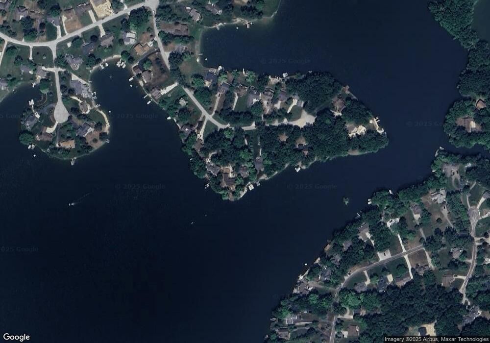
Map
Nearby Homes
- 2948 Island Point Dr
- VL 1.98 Ac Lake Lapeer Dr
- 6.5 ACRES VL Lake Lapeer Dr
- 3817 Lake Lapeer Dr
- 3882 Lake Lapeer Dr
- 00 Mitchell Rd
- 3872 Woodland Dr
- 2809 Galway Bay Dr
- 2658 Bullock Rd
- 3292 W Sutton Rd
- 00 Pratt Rd
- 3020 Merwin Rd
- 1463 Pebble Creek Rd
- 2681 Hadley Rd
- 3711 Baldwin Rd
- 1986 Baldwin Rd
- 3829 S Shore Dr
- 3168 Farmbrook Ln
- 3931 S Shore Dr
- 1591 Baldwin Rd
- 2918 Island Point Dr
- 2912 Island Point Dr
- 2924 Island Point Dr
- 2906 Island Point Dr
- 2927 Island Point Dr
- 2919 Island Point Dr
- 2933 Island Point Dr
- 2913 Island Point Dr
- 2900 Island Point Dr
- 2941 Island Point Dr
- 2903 Island Point Dr
- 2894 Island Point Dr
- 2942 Island Point Dr
- 2942 Island Point Dr
- 2951 Island Point Dr
- VAC Island Point Dr
- 2891 Island Point Dr
- 2891 Island Point Dr
- 2954 Island Point Dr
- 2954 Island Point Dr