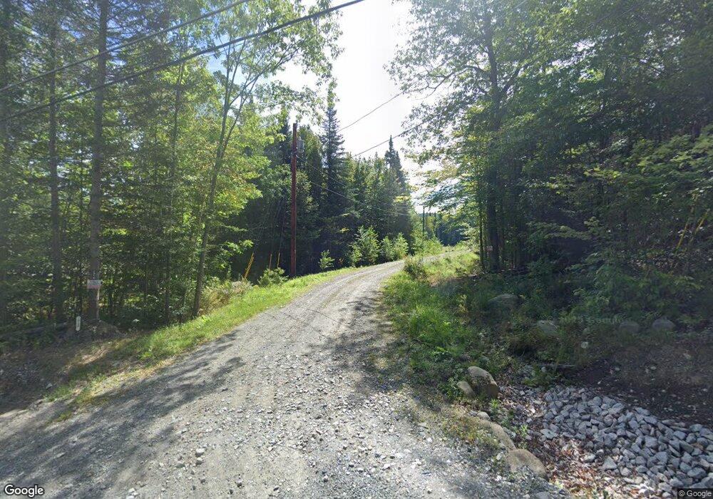
2918 N Littleton Rd Littleton, NH 03561
Estimated Value: $353,500 - $395,000
1
Bed
1
Bath
1,008
Sq Ft
$370/Sq Ft
Est. Value
About This Home
This home is located at 2918 N Littleton Rd, Littleton, NH 03561 and is currently estimated at $372,833, approximately $369 per square foot. 2918 N Littleton Rd is a home with nearby schools including Mildred C. Lakeway School.
Ownership History
Date
Name
Owned For
Owner Type
Purchase Details
Closed on
Mar 18, 2022
Sold by
Berry Scott F and Berry Cindy M
Bought by
Robbins Taylor and Whiting Dillon
Current Estimated Value
Home Financials for this Owner
Home Financials are based on the most recent Mortgage that was taken out on this home.
Original Mortgage
$55,000
Outstanding Balance
$50,496
Interest Rate
2.5%
Mortgage Type
Purchase Money Mortgage
Estimated Equity
$322,337
Purchase Details
Closed on
Jun 7, 2021
Sold by
Luangrath Khampanh
Bought by
Berry Scott F and Berry Cindy M
Purchase Details
Closed on
Nov 21, 2006
Sold by
Adams Phillip and Adams Margarita
Bought by
Luangrath Khampnah
Create a Home Valuation Report for This Property
The Home Valuation Report is an in-depth analysis detailing your home's value as well as a comparison with similar homes in the area
Home Values in the Area
Average Home Value in this Area
Purchase History
| Date | Buyer | Sale Price | Title Company |
|---|---|---|---|
| Robbins Taylor | $90,000 | None Available | |
| Robbins Taylor | $90,000 | None Available | |
| Berry Scott F | $60,000 | None Available | |
| Berry Scott F | $60,000 | None Available | |
| Luangrath Khampnah | $55,000 | -- | |
| Luangrath Khampnah | $55,000 | -- |
Source: Public Records
Mortgage History
| Date | Status | Borrower | Loan Amount |
|---|---|---|---|
| Open | Robbins Taylor | $55,000 | |
| Closed | Robbins Taylor | $55,000 |
Source: Public Records
Tax History Compared to Growth
Tax History
| Year | Tax Paid | Tax Assessment Tax Assessment Total Assessment is a certain percentage of the fair market value that is determined by local assessors to be the total taxable value of land and additions on the property. | Land | Improvement |
|---|---|---|---|---|
| 2024 | $4,704 | $188,600 | $43,400 | $145,200 |
| 2023 | $4,251 | $188,600 | $43,400 | $145,200 |
| 2022 | $1,001 | $43,400 | $43,400 | $0 |
| 2021 | $1,001 | $43,400 | $43,400 | $0 |
| 2020 | $940 | $43,400 | $43,400 | $0 |
| 2019 | $919 | $39,800 | $39,800 | $0 |
| 2018 | $559 | $24,200 | $24,200 | $0 |
| 2017 | $612 | $23,700 | $22,300 | $1,400 |
| 2016 | $614 | $23,700 | $22,300 | $1,400 |
| 2015 | $695 | $29,800 | $24,100 | $5,700 |
| 2014 | $662 | $29,800 | $24,100 | $5,700 |
| 2013 | $669 | $29,800 | $24,100 | $5,700 |
Source: Public Records
Map
Nearby Homes
- 00 Walker Pit Rd
- 0 Walker Pit Rd
- Lot 10 Landry Rd
- 0 Sugar Wood Ln Unit 8
- 000 N Littleton Rd Unit 42
- 184 Dalton Rd
- 0 Thomas Rd Unit 32.1 5052957
- 10 Duval Rd
- 0 Oregon Rd
- Lot 4 Oregon Rd
- 2157 River Rd
- 00 Oregon Rd
- 456 Brickyard Rd
- 3681 Shadow Lake Rd
- 0 Old Waterford Rd Unit 28 5059515
- 0 Old Waterford Rd Unit 25534600
- 0 Rd Unit 5043035
- 921 Old Waterford Rd
- 113 Renfrew Ln
- 538 Oregon Rd
- 2822 N Littleton Rd
- 2936 N Littleton Rd
- 2724 N Littleton Rd
- 2875 N Littleton Rd
- 0 N Littleton Rd Unit 4664047
- 99 Mount Misery Rd
- 2825 N Littleton Rd Unit 2827
- 125 Mount Misery Rd
- 29 Mount Misery Rd
- 258 Mount Misery Rd
- 62 Mount Misery Rd
- 36 Mount Misery Rd
- 000 Mount Misery Rd
- 000 Mount Misery Rd Unit Littleton NH Tax map
- 2741 N Littleton Rd
- 3101 N Littleton Rd
- 144 Mount Misery Rd
- 251 Mount Misery Rd
- 3151 N Littleton Rd
- 3105 N Littleton Rd
