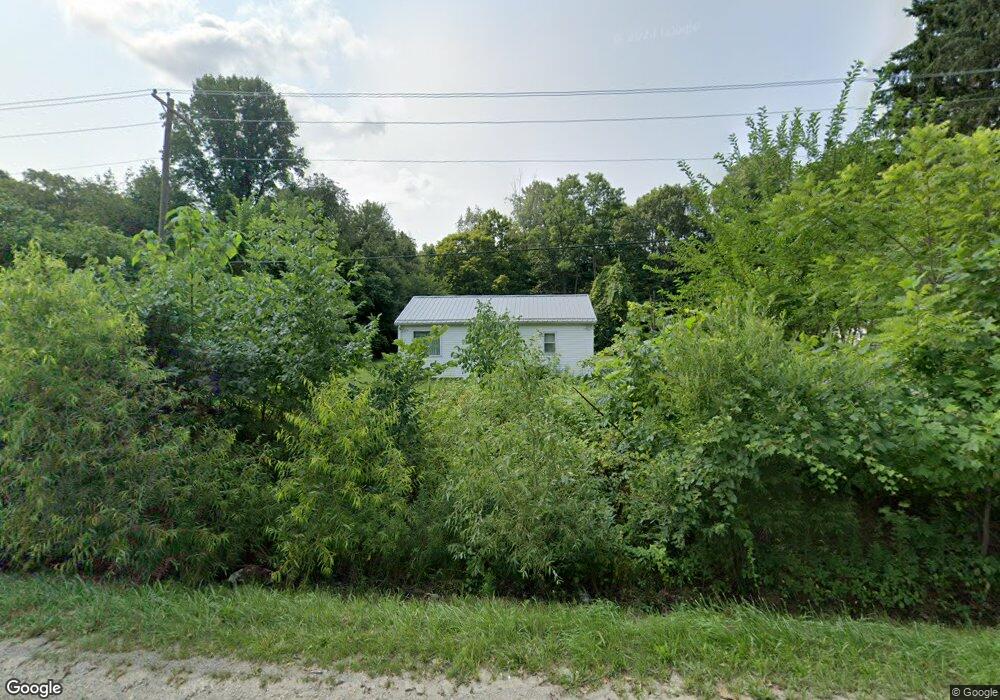
2918 Niles Buchanan Rd Buchanan, MI 49107
Estimated Value: $102,292 - $445,000
3
Beds
1
Bath
--
Sq Ft
0.52
Acres
About This Home
This home is located at 2918 Niles Buchanan Rd, Buchanan, MI 49107 and is currently estimated at $238,073. 2918 Niles Buchanan Rd is a home with nearby schools including Ottawa Elementary School, Moccasin Elementary School, and Buchanan Middle School.
Ownership History
Date
Name
Owned For
Owner Type
Purchase Details
Closed on
Jun 11, 2014
Sold by
Allen Agnes E and Allen Agnes Earlene
Bought by
Albright Catherine
Current Estimated Value
Home Financials for this Owner
Home Financials are based on the most recent Mortgage that was taken out on this home.
Original Mortgage
$72,250
Outstanding Balance
$54,914
Interest Rate
4.18%
Mortgage Type
New Conventional
Estimated Equity
$183,159
Purchase Details
Closed on
Jan 4, 1980
Create a Home Valuation Report for This Property
The Home Valuation Report is an in-depth analysis detailing your home's value as well as a comparison with similar homes in the area
Home Values in the Area
Average Home Value in this Area
Purchase History
| Date | Buyer | Sale Price | Title Company |
|---|---|---|---|
| Albright Catherine | $85,000 | First American Title | |
| -- | -- | -- |
Source: Public Records
Mortgage History
| Date | Status | Borrower | Loan Amount |
|---|---|---|---|
| Open | Albright Catherine | $72,250 |
Source: Public Records
Tax History Compared to Growth
Tax History
| Year | Tax Paid | Tax Assessment Tax Assessment Total Assessment is a certain percentage of the fair market value that is determined by local assessors to be the total taxable value of land and additions on the property. | Land | Improvement |
|---|---|---|---|---|
| 2025 | $533 | $27,000 | $0 | $0 |
| 2024 | $197 | $32,000 | $0 | $0 |
| 2023 | $188 | $23,200 | $0 | $0 |
| 2022 | $179 | $21,000 | $0 | $0 |
| 2021 | $446 | $17,700 | $8,500 | $9,200 |
| 2020 | $440 | $16,700 | $0 | $0 |
| 2019 | $432 | $15,600 | $8,500 | $7,100 |
| 2018 | $422 | $15,600 | $0 | $0 |
| 2017 | $419 | $15,400 | $0 | $0 |
| 2016 | $416 | $14,900 | $0 | $0 |
| 2015 | $416 | $14,700 | $0 | $0 |
| 2014 | $151 | $14,600 | $0 | $0 |
Source: Public Records
Map
Nearby Homes
- 2930 Niles Buchanan Rd
- 3017 Niles Buchanan Rd
- 301 Woodland
- 3004 White Oaks Ln
- 4832 Woodside Dr
- 0 White Oaks Ridge Unit 25034246
- 1380 Camp Rd
- 118 Schirmer Pkwy
- 1025 E Front St
- 1005 E Front St
- 4844 Ontario
- 802 Carrol St
- 1386 Riverside Rd
- 426 Elizabeth St
- 302 Sylvan St
- 504 Sylvan St
- 110 Bridle Path Ln
- V/L Mead Rd
- 313 N Red Bud Trail
- 404 S Red Bud Trail
- 2920 Niles Buchanan Rd
- 2912 Niles Buchanan Rd
- 2860 Niles Buchanan Rd
- 3114 Niles Buchanan Rd
- 2900 Niles Buchanan Rd
- 3116 Niles Buchanan Rd
- 2908 Niles Buchanan Rd
- 2830 Niles Buchanan Rd
- 179 Stillwater Dr
- 177 Stillwater Dr
- 3121 Knight Dr
- 3118 Niles Buchanan Rd
- 175 Stillwater Dr
- 3125 Knight Dr
- 2826 Niles Buchanan Rd
- 305 Woodland
- 173 Stillwater Dr
- 105 Stillwater Dr Unit 3
- 3120 Niles Buchanan Rd
- 3133 Knight Dr