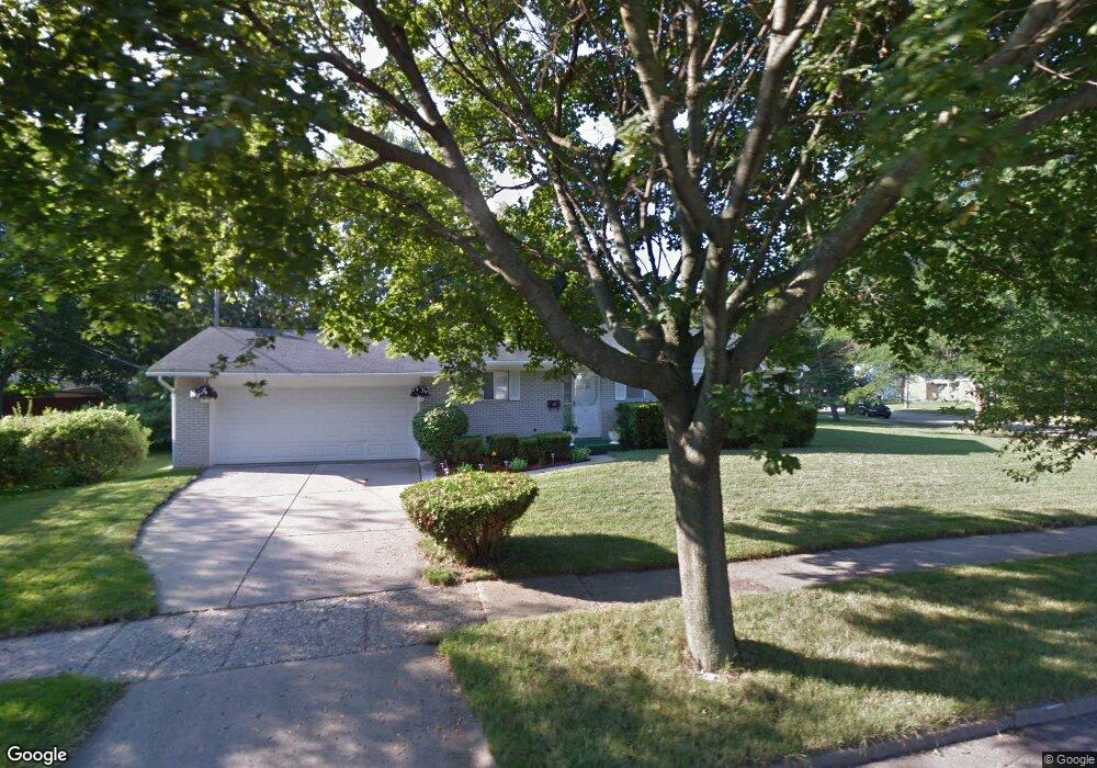
2919 Colchester Rd Lansing, MI 48906
Northwestside NeighborhoodEstimated Value: $183,332 - $221,000
--
Bed
1
Bath
1,107
Sq Ft
$183/Sq Ft
Est. Value
About This Home
This home is located at 2919 Colchester Rd, Lansing, MI 48906 and is currently estimated at $202,833, approximately $183 per square foot. 2919 Colchester Rd is a home located in Ingham County with nearby schools including Cumberland Elementary School, Pattengill Academy, and J.W. Sexton High School.
Ownership History
Date
Name
Owned For
Owner Type
Purchase Details
Closed on
Aug 28, 2002
Sold by
Muse Patricia A
Bought by
Howard Jeffrey R
Current Estimated Value
Home Financials for this Owner
Home Financials are based on the most recent Mortgage that was taken out on this home.
Original Mortgage
$72,000
Interest Rate
7.5%
Mortgage Type
Purchase Money Mortgage
Purchase Details
Closed on
May 23, 1997
Sold by
Dabney Howard and Dabney Carrie E
Bought by
Howard Hayward and Howard Camilla
Create a Home Valuation Report for This Property
The Home Valuation Report is an in-depth analysis detailing your home's value as well as a comparison with similar homes in the area
Home Values in the Area
Average Home Value in this Area
Purchase History
| Date | Buyer | Sale Price | Title Company |
|---|---|---|---|
| Howard Jeffrey R | $90,000 | -- | |
| Howard Hayward | $88,200 | -- |
Source: Public Records
Mortgage History
| Date | Status | Borrower | Loan Amount |
|---|---|---|---|
| Previous Owner | Howard Jeffrey R | $72,000 |
Source: Public Records
Tax History Compared to Growth
Tax History
| Year | Tax Paid | Tax Assessment Tax Assessment Total Assessment is a certain percentage of the fair market value that is determined by local assessors to be the total taxable value of land and additions on the property. | Land | Improvement |
|---|---|---|---|---|
| 2025 | $3,660 | $75,300 | $13,700 | $61,600 |
| 2024 | $29 | $83,400 | $13,700 | $69,700 |
| 2023 | $3,430 | $73,900 | $13,700 | $60,200 |
| 2022 | $3,090 | $65,200 | $11,200 | $54,000 |
| 2021 | $3,026 | $64,500 | $13,300 | $51,200 |
| 2020 | $3,008 | $58,900 | $13,300 | $45,600 |
| 2019 | $2,884 | $56,400 | $13,300 | $43,100 |
| 2018 | $2,702 | $52,700 | $13,300 | $39,400 |
| 2017 | $2,587 | $52,700 | $13,300 | $39,400 |
| 2016 | $2,517 | $47,000 | $13,300 | $33,700 |
| 2015 | $2,517 | $44,900 | $26,578 | $18,322 |
| 2014 | $2,517 | $45,000 | $31,007 | $13,993 |
Source: Public Records
Map
Nearby Homes
- 3116 Colchester Rd
- 2400 Leon Ave
- 2400 Beacon Hill Dr
- 2316 Barstow Rd
- 2722 Tecumseh River Rd
- 2515 Kuerbitz Dr
- 3314 Sunnylane
- 2524 Newport Dr
- 2921 Tecumseh River Rd
- 2801 Delta St
- 4005 N Grand River Ave
- 3016 Westmont Ave
- 2220 Delta River Dr
- 2224 Pembroke Rd
- 3515 Wilson Ave
- 1900 Kaplan St
- 2111 Delta River Dr
- 3031 Amherst Dr
- 3709 Pino Dr
- 1649 Boynton Dr
- 2422 Cogswell Dr
- 2905 Colchester Rd
- 2421 Darby Dr
- 2416 Cogswell Dr
- 2415 Darby Dr
- 3011 Colchester Rd
- 2916 Colchester Rd
- 3000 Colchester Rd
- 2910 Colchester Rd
- 2410 Cogswell Dr
- 2409 Darby Dr
- 3010 Colchester Rd
- 2900 Colchester Rd
- 2411 Cogswell Dr
- 3017 Colchester Rd
- 2403 Darby Dr
- 2404 Cogswell Dr
- 3018 Colchester Rd
- 2830 Colchester Rd
- 2823 Colchester Rd