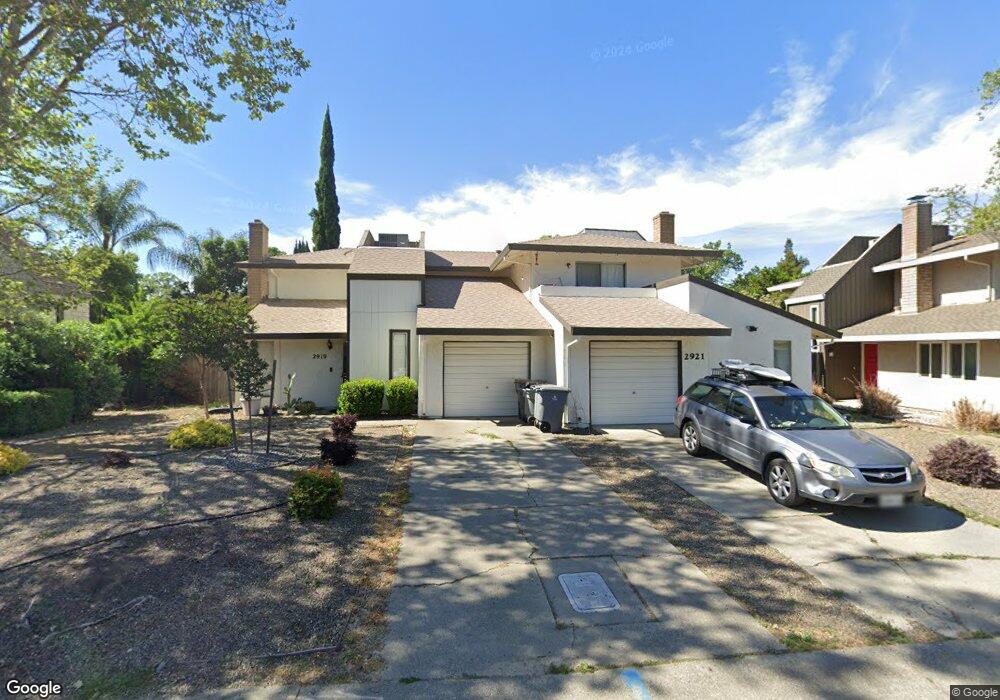
2919 Lillard Dr Unit 21 Davis, CA 95618
South Davis NeighborhoodEstimated Value: $792,000 - $910,778
About This Home
This home is located at 2919 Lillard Dr Unit 21, Davis, CA 95618 and is currently estimated at $879,195, approximately $346 per square foot. 2919 Lillard Dr Unit 21 is a home located in Yolo County with nearby schools including Marguerite Montgomery Elementary School, Frances Ellen Watkins Harper Junior High School, and Davis Senior High School.
Ownership History
We collect this data history from publicly available records. To have your information removed, we recommend requesting removal directly through your county’s website.
Purchase Details
Purchase Details
Home Values in the Area
Average Home Value in this Area
Purchase History
We collect this data history from publicly available records. To have your information removed, we recommend requesting removal directly through your county’s website.
| Date | Buyer | Sale Price | Title Company |
|---|---|---|---|
| -- | -- | ||
| $205,000 | Placer Title Company |
Tax History
We collect this data history from publicly available records. To have your information removed, we recommend requesting removal directly through your county’s website.
| Year | Tax Paid | Tax Assessment Tax Assessment Total Assessment is a certain percentage of the fair market value that is determined by local assessors to be the total taxable value of land and additions on the property. | Land | Improvement |
|---|---|---|---|---|
| 2025 | $5,147 | $333,851 | $122,133 | $211,718 |
| 2023 | $5,147 | $320,890 | $117,392 | $203,498 |
| 2022 | $4,921 | $314,599 | $115,091 | $199,508 |
| 2021 | $4,795 | $308,432 | $112,835 | $195,597 |
| 2020 | $4,713 | $305,271 | $111,679 | $193,592 |
| 2019 | $4,436 | $299,287 | $109,490 | $189,797 |
| 2018 | $4,151 | $293,420 | $107,344 | $186,076 |
| 2017 | $4,062 | $287,668 | $105,240 | $182,428 |
| 2016 | $3,891 | $282,028 | $103,177 | $178,851 |
| 2015 | $3,763 | $277,793 | $101,628 | $176,165 |
| 2014 | $3,763 | $272,353 | $99,638 | $172,715 |
Map
- 2780 Brentwood Place
- 1162 Drummond Ave
- 3203 Lillard Dr
- 3030 Albany Ave
- 1175 Greene Terrace
- 1136 Los Robles St
- 1174 Greene Terrace
- 1056 Greene Terrace
- 3310 Monte Vista Ave
- 518 Drummond Ave
- 2230 Halsey Cir
- 43120 Montgomery Ave
- 2514 Regatta Ct
- 3439 Koso St
- 1708 El Pescador Ct
- 1731 El Pescador Ct
- 3718 Maidu Place
- 2736 5th St Unit A
- 2736 5th St
- 2746 5th St
- 2905 Lillard Dr
- 2913 Lillard Dr
- 2901 Lillard Dr Unit 3
- 2914 Concord Ave
- 2908 Concord Ave
- 2920 Concord Ave
- 2902 Concord Ave
- 2829 Lillard Dr Unit 31
- 2926 Concord Ave
- 2850 Concord Ave
- 2932 Concord Ave
- 2825 Lillard Dr
- 2925 Lillard Dr Unit 27
- 2927 Lillard Dr
- 2844 Concord Ave
- 1029 Clark Ct
- 1130 Decatur Ct
- 2823 Lillard Dr
- 2938 Concord Ave
- 1020 Clark Ct
Ask me questions while you tour the home.