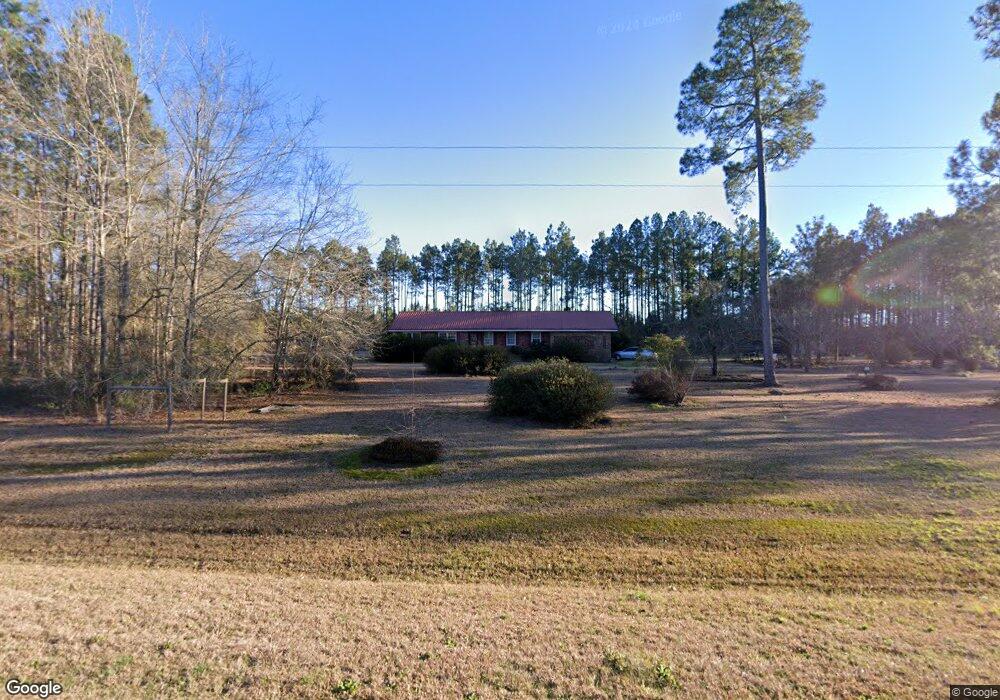
2919 Us Highway 80 W Adrian, GA 31002
Estimated Value: $185,000 - $403,323
3
Beds
2
Baths
2,010
Sq Ft
$146/Sq Ft
Est. Value
About This Home
This home is located at 2919 Us Highway 80 W, Adrian, GA 31002 and is currently estimated at $294,331, approximately $146 per square foot. 2919 Us Highway 80 W is a home located in Emanuel County with nearby schools including Swainsboro High School.
Ownership History
Date
Name
Owned For
Owner Type
Purchase Details
Closed on
Oct 18, 2011
Sold by
Clifton Connie S
Bought by
Webb Brenda S
Current Estimated Value
Purchase Details
Closed on
Sep 7, 2007
Sold by
Clifton Connie S
Bought by
Webb Brenda S
Purchase Details
Closed on
Feb 28, 2003
Sold by
Stephens Garland
Bought by
Webb Brenda S
Purchase Details
Closed on
May 8, 2000
Bought by
Clifton Connie S and Clifton E
Purchase Details
Closed on
Oct 23, 1981
Sold by
Grant Jimmy L
Bought by
Webb Charles Dwight
Purchase Details
Closed on
Aug 12, 1975
Sold by
Stephens Garland
Bought by
Grant Jimmy L
Purchase Details
Closed on
Jan 26, 1970
Sold by
Stephens Clyde
Bought by
Stephens Garland
Create a Home Valuation Report for This Property
The Home Valuation Report is an in-depth analysis detailing your home's value as well as a comparison with similar homes in the area
Home Values in the Area
Average Home Value in this Area
Purchase History
| Date | Buyer | Sale Price | Title Company |
|---|---|---|---|
| Webb Brenda S | $28,800 | -- | |
| Webb Brenda S | $28,750 | -- | |
| Webb Brenda S | $4,595 | -- | |
| Webb Brenda S | -- | -- | |
| Clifton Connie S | -- | -- | |
| Webb Charles Dwight | -- | -- | |
| Grant Jimmy L | -- | -- | |
| Stephens Garland | -- | -- |
Source: Public Records
Tax History Compared to Growth
Tax History
| Year | Tax Paid | Tax Assessment Tax Assessment Total Assessment is a certain percentage of the fair market value that is determined by local assessors to be the total taxable value of land and additions on the property. | Land | Improvement |
|---|---|---|---|---|
| 2024 | -- | $98,557 | $43,070 | $55,487 |
| 2023 | $0 | $91,646 | $43,070 | $48,575 |
| 2022 | $2,364 | $87,229 | $43,070 | $44,159 |
| 2021 | $2,334 | $84,469 | $43,070 | $41,399 |
| 2020 | $2,278 | $78,514 | $45,014 | $33,500 |
| 2019 | $2,278 | $78,514 | $45,014 | $33,500 |
| 2018 | $0 | $78,514 | $45,014 | $33,500 |
| 2017 | $2,211 | $76,679 | $45,014 | $31,665 |
| 2016 | $2,200 | $76,294 | $43,890 | $32,404 |
| 2015 | -- | $79,538 | $43,890 | $35,648 |
| 2014 | -- | $79,182 | $43,890 | $35,292 |
| 2013 | -- | $36,316 | $1,860 | $34,456 |
Source: Public Records
Map
Nearby Homes
- 0000 Hwy 171
- 35 Barwick Kea Rd
- 0 John S Horton Rd Unit 10539405
- 0 Old Wilson Rd
- Old Wilson Rd
- 87 Georgia Ave
- 0 Walden Way Unit 10601502
- 210 W College St
- 0 Trinity Church Rd
- 600 Alton Lawson Rd
- 400 Alton Lawson Rd
- 503 Alton Lawson Rd
- 0 Alton Lawson Rd
- 311 Church St
- Gillis Spring Rd
- 0 Sardis Church Rd Unit 10601519
- 499 Smith Chapel Rd
- 0 Cow Ford Bridge Rd Unit 10535184
- 0 Cow Ford Bridge Rd Unit 24270147
- 150 Kemp Rd