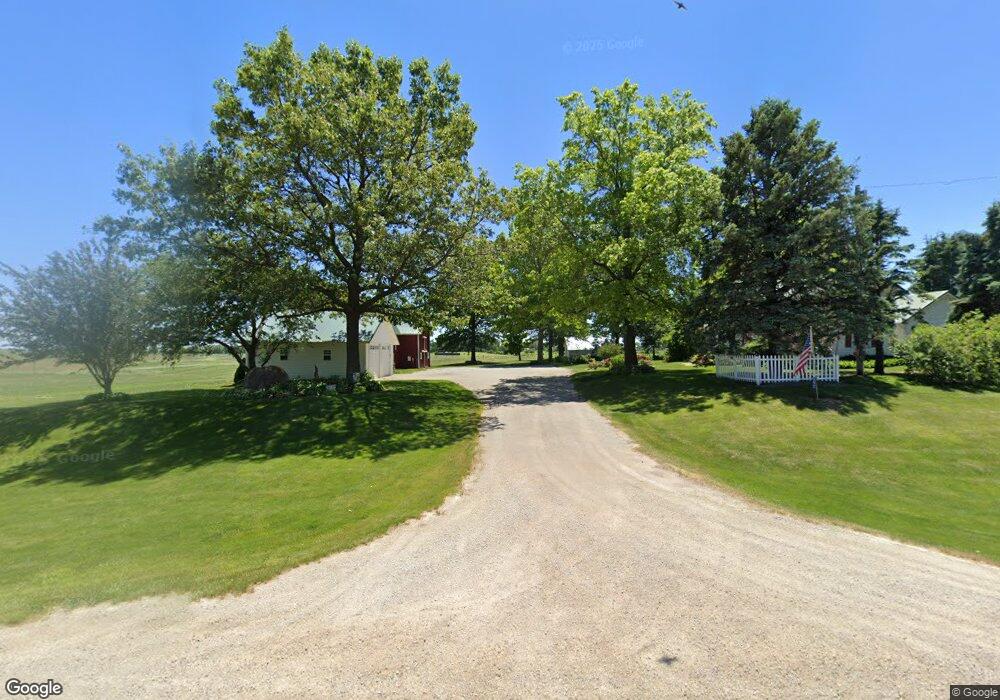
292 290th St West Branch, IA 52358
Estimated Value: $398,000 - $559,000
4
Beds
2
Baths
2,342
Sq Ft
$200/Sq Ft
Est. Value
About This Home
This home is located at 292 290th St, West Branch, IA 52358 and is currently estimated at $468,412, approximately $200 per square foot. 292 290th St is a home located in Cedar County with nearby schools including Hoover Elementary School, West Branch Middle School, and West Branch High School.
Ownership History
Date
Name
Owned For
Owner Type
Purchase Details
Closed on
Feb 28, 2022
Sold by
Broadview Acres Inc
Bought by
Yankee Corner Farms Inc
Current Estimated Value
Purchase Details
Closed on
Dec 22, 2021
Sold by
Black John D and Black Linda F
Bought by
Black Brothers Farms Llc
Create a Home Valuation Report for This Property
The Home Valuation Report is an in-depth analysis detailing your home's value as well as a comparison with similar homes in the area
Home Values in the Area
Average Home Value in this Area
Purchase History
| Date | Buyer | Sale Price | Title Company |
|---|---|---|---|
| Yankee Corner Farms Inc | -- | None Listed On Document | |
| Black Brothers Farms Llc | $500,000 | None Listed On Document |
Source: Public Records
Tax History Compared to Growth
Tax History
| Year | Tax Paid | Tax Assessment Tax Assessment Total Assessment is a certain percentage of the fair market value that is determined by local assessors to be the total taxable value of land and additions on the property. | Land | Improvement |
|---|---|---|---|---|
| 2025 | $4,082 | $444,420 | $149,200 | $295,220 |
| 2024 | $4,082 | $349,890 | $114,900 | $234,990 |
| 2023 | $3,862 | $332,040 | $114,900 | $217,140 |
| 2022 | $3,410 | $254,350 | $75,940 | $178,410 |
| 2021 | $3,256 | $254,350 | $75,940 | $178,410 |
| 2020 | $3,168 | $226,090 | $67,500 | $158,590 |
| 2019 | $2,812 | $224,080 | $0 | $0 |
| 2018 | $2,752 | $224,080 | $0 | $0 |
| 2017 | $2,930 | $216,770 | $0 | $0 |
| 2016 | $2,934 | $216,770 | $0 | $0 |
| 2015 | $2,966 | $216,770 | $0 | $0 |
| 2014 | $2,966 | $217,530 | $0 | $0 |
Source: Public Records
Map
Nearby Homes
- 1908 Charles Ave Lot 2
- 1912 Charles Ave Lot 3
- 1928 Charles Ave Lot 7
- 1924 Charles Ave Lot 6
- 1932 Charles Ave Lot 8
- 1904 Charles Ave
- 168 290th St
- T.B.D. 275th St
- 325 Elm St
- 557 N 4th St
- 521 N 4th St Unit Louise Court Condos
- 314 Sycamore Dr
- 312 Sycamore Dr
- 316 Sycamore Dr
- 360 Cookson Dr
- 121 Northridge Dr Unit 121-139
- 316 S Maple St
- 3 Grant St Unit GR3
- 426 N 1st St
- 127 N Downey St
- 291 290th St
- 291 290th St
- 1892 Delta Ave
- 311 290th St
- 316 290th St
- 1876 Delta Ave
- 255 290th St
- 334 290th St
- 333 290th St
- 1951 Delta Ave
- 1964 Delta Ave
- 1842 Delta Ave
- 360 290th St
- 224 290th St
- 1815 Delta Ave
- 1916 Charles Ave Lot 4
- 1996 Delta Ave
- 1920 Charles Ave Lot 5
- 1920 Charles Ave
- 1912 Charles Ave