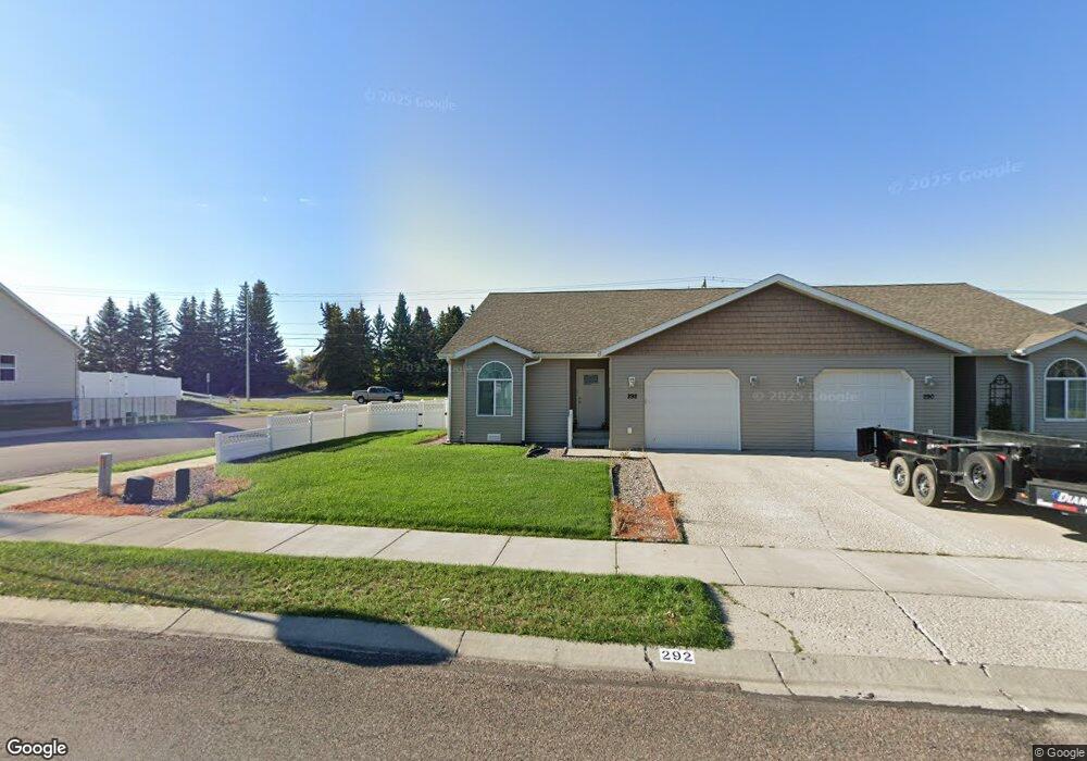
292 Empire Loop Kalispell, MT 59901
Estimated Value: $406,214 - $416,000
3
Beds
2
Baths
1,318
Sq Ft
$314/Sq Ft
Est. Value
About This Home
This home is located at 292 Empire Loop, Kalispell, MT 59901 and is currently estimated at $413,304, approximately $313 per square foot. 292 Empire Loop is a home located in Flathead County with nearby schools including Edgerton School, Kalispell Middle School, and Glacier High School.
Ownership History
Date
Name
Owned For
Owner Type
Purchase Details
Closed on
Mar 23, 2007
Sold by
Mallette Tammy
Bought by
Lovette Paul F
Current Estimated Value
Home Financials for this Owner
Home Financials are based on the most recent Mortgage that was taken out on this home.
Original Mortgage
$104,500
Outstanding Balance
$62,801
Interest Rate
6.13%
Mortgage Type
New Conventional
Estimated Equity
$350,503
Purchase Details
Closed on
Mar 8, 2006
Sold by
Mallette Tammy
Bought by
Hash C Mark
Create a Home Valuation Report for This Property
The Home Valuation Report is an in-depth analysis detailing your home's value as well as a comparison with similar homes in the area
Purchase History
| Date | Buyer | Sale Price | Title Company |
|---|---|---|---|
| Lovette Paul F | -- | Flathead County Title Compan | |
| Hash C Mark | -- | None Available | |
| Mallette Tammy | -- | None Available |
Source: Public Records
Mortgage History
| Date | Status | Borrower | Loan Amount |
|---|---|---|---|
| Open | Lovette Paul F | $104,500 |
Source: Public Records
Tax History
| Year | Tax Paid | Tax Assessment Tax Assessment Total Assessment is a certain percentage of the fair market value that is determined by local assessors to be the total taxable value of land and additions on the property. | Land | Improvement |
|---|---|---|---|---|
| 2025 | $2,037 | $418,100 | $0 | $0 |
| 2024 | $2,716 | $348,700 | $0 | $0 |
| 2023 | $2,931 | $348,700 | $0 | $0 |
| 2022 | $2,686 | $238,600 | $0 | $0 |
| 2021 | $2,568 | $238,600 | $0 | $0 |
| 2020 | $2,469 | $205,400 | $0 | $0 |
| 2019 | $2,474 | $205,400 | $0 | $0 |
| 2018 | $2,250 | $177,000 | $0 | $0 |
| 2017 | $2,257 | $177,000 | $0 | $0 |
| 2016 | $1,793 | $150,500 | $0 | $0 |
| 2015 | $1,793 | $150,500 | $0 | $0 |
| 2014 | $1,842 | $93,174 | $0 | $0 |
Source: Public Records
Map
Nearby Homes
- 17 Empire Loop
- 38 Vanderbilt Dr
- 63 Empire Loop
- 249 Three Mile Dr
- 90 Empire Loop
- 210 Kara Dr
- 240 Kara Dr
- 224 Kara Dr
- 287 Kara Dr
- 140 Barron Way
- 28 Vista Loop
- 174 Empire Loop
- 119 Barron Way
- 108 Hearst Dr
- 188 N Riding Rd
- 433 Needlegrass Ln
- 255 Triple Creek Dr
- 412 Needlegrass Ln
- 424 Needlegrass Ln
- 408 Needlegrass Ln
- 290 Empire Loop
- 288 Empire Loop
- 2 Empire Loop
- 286 Empire Loop
- 293 Empire Loop
- 291 Empire Loop
- 4 Empire Loop
- 4 Empire Loop
- 284 Empire Loop
- 289 Empire Loop
- 3 Empire Loop
- 287 Empire Loop
- 5 Empire Loop
- 282 Empire Loop
- 6 Empire Loop
- 285 Empire Loop
- 7 Empire Loop
- 30 Rockefeller Dr
- 26 Rockefeller Dr
- 30 Rockefeller Dr
Your Personal Tour Guide
Ask me questions while you tour the home.