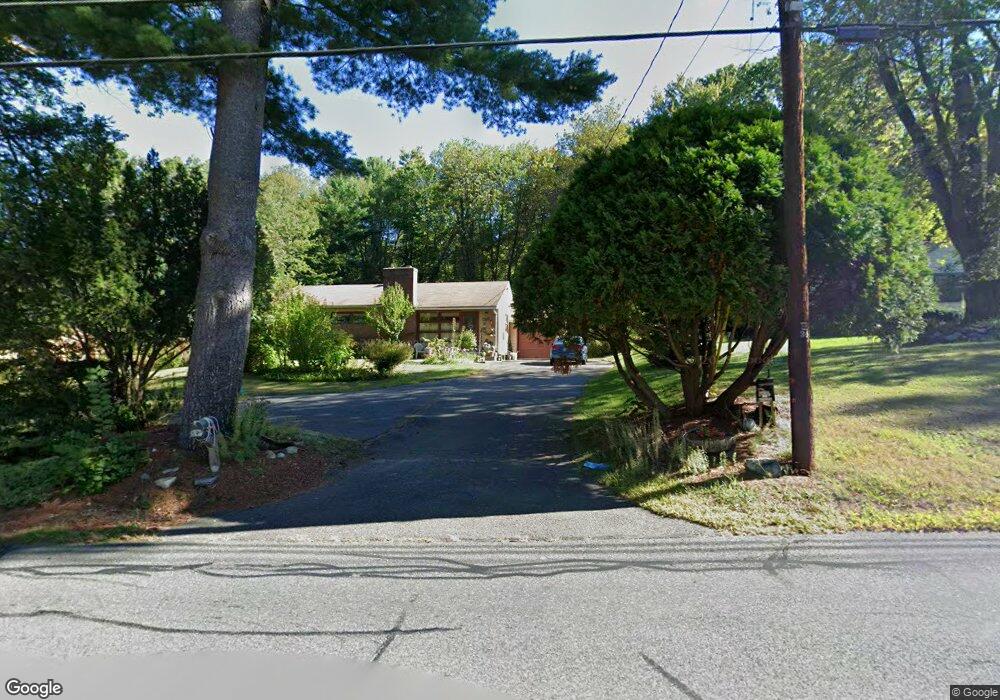
292 Florence Rd Florence, MA 01062
Florence NeighborhoodEstimated Value: $361,258 - $418,000
3
Beds
2
Baths
1,200
Sq Ft
$329/Sq Ft
Est. Value
About This Home
This home is located at 292 Florence Rd, Florence, MA 01062 and is currently estimated at $395,315, approximately $329 per square foot. 292 Florence Rd is a home located in Hampshire County with nearby schools including Northampton High School, Hilltown Cooperative Charter Public School, and The Montessori School of Northampton.
Ownership History
Date
Name
Owned For
Owner Type
Purchase Details
Closed on
Jun 2, 1988
Sold by
Fine Stephen H
Bought by
Placido Henrigue S
Current Estimated Value
Home Financials for this Owner
Home Financials are based on the most recent Mortgage that was taken out on this home.
Original Mortgage
$89,000
Interest Rate
10.24%
Mortgage Type
Purchase Money Mortgage
Create a Home Valuation Report for This Property
The Home Valuation Report is an in-depth analysis detailing your home's value as well as a comparison with similar homes in the area
Home Values in the Area
Average Home Value in this Area
Purchase History
| Date | Buyer | Sale Price | Title Company |
|---|---|---|---|
| Placido Henrigue S | $112,000 | -- |
Source: Public Records
Mortgage History
| Date | Status | Borrower | Loan Amount |
|---|---|---|---|
| Closed | Placido Henrigue S | $89,000 |
Source: Public Records
Tax History
| Year | Tax Paid | Tax Assessment Tax Assessment Total Assessment is a certain percentage of the fair market value that is determined by local assessors to be the total taxable value of land and additions on the property. | Land | Improvement |
|---|---|---|---|---|
| 2025 | $4,313 | $309,600 | $89,700 | $219,900 |
| 2024 | $4,308 | $283,600 | $85,500 | $198,100 |
| 2023 | $3,722 | $235,000 | $77,700 | $157,300 |
| 2022 | $3,442 | $192,400 | $72,700 | $119,700 |
| 2021 | $3,281 | $188,900 | $69,300 | $119,600 |
| 2020 | $3,174 | $188,900 | $69,300 | $119,600 |
| 2019 | $3,352 | $193,000 | $81,800 | $111,200 |
| 2018 | $3,195 | $189,900 | $81,800 | $108,100 |
| 2017 | $3,169 | $189,900 | $81,800 | $108,100 |
| 2016 | $3,069 | $189,900 | $81,800 | $108,100 |
| 2015 | $3,037 | $192,200 | $86,800 | $105,400 |
| 2014 | $2,958 | $192,200 | $86,800 | $105,400 |
Source: Public Records
Map
Nearby Homes
- 42 Clark St
- 37 Landy Ave
- 635 Florence Rd
- 815 Burts Pit Rd
- 296 Ryan Rd Unit A
- 296 Ryan Rd
- 296 Ryan Rd Unit B
- 697 Florence Rd
- 67 Park St Unit A
- 76 Maple St
- 63 Riverside Dr
- 723 Lot B Ryan Rd
- 44 Sheffield Ln
- 61 Harrison Ave
- 575 Bridge Rd Unit 12-7
- 575 Bridge Rd Unit 10-5
- 23 Ford Crossing
- 61 Woodlawn Ave
- 0 Terrace Ln
- 967 Florence Rd
- 300 Florence Rd
- 280 Florence Rd
- 287 Florence Rd
- 295 Florence Rd
- 00 Florence Rd
- 279 Florence Rd
- 266 Florence Rd
- 312 Florence Rd
- 309 Florence Rd
- 269 Florence Rd
- 260 Florence Rd
- 8 High Meadow Rd
- 322 Florence Rd
- 317 Florence Rd
- 4 High Meadow Rd
- 261 Florence Rd
- 250 Florence Rd
- 6 Brookwood Dr
- 325 Florence Rd
- 334 Florence Rd
Your Personal Tour Guide
Ask me questions while you tour the home.